Best Hiking Day Trips in the Bay Area
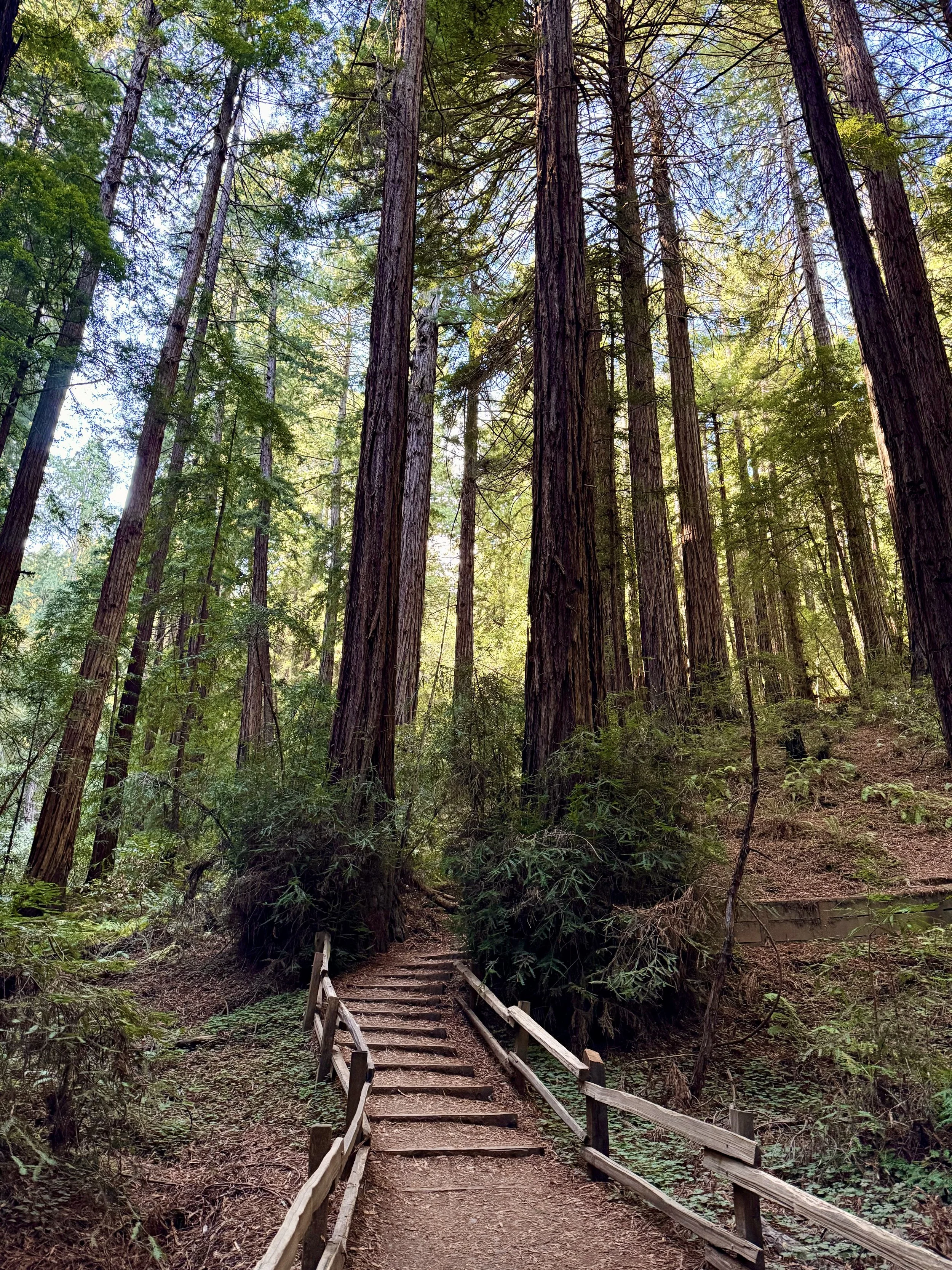
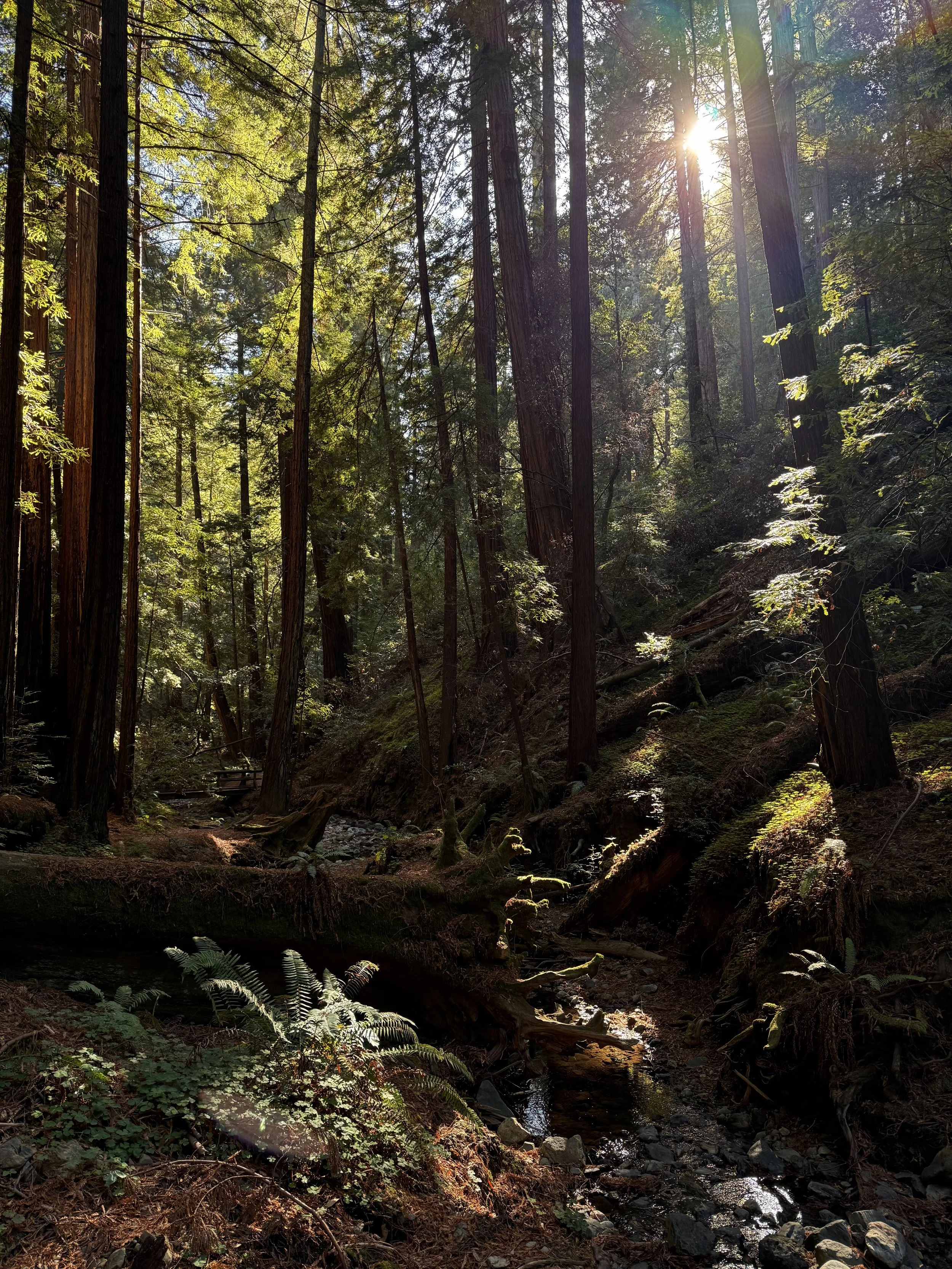
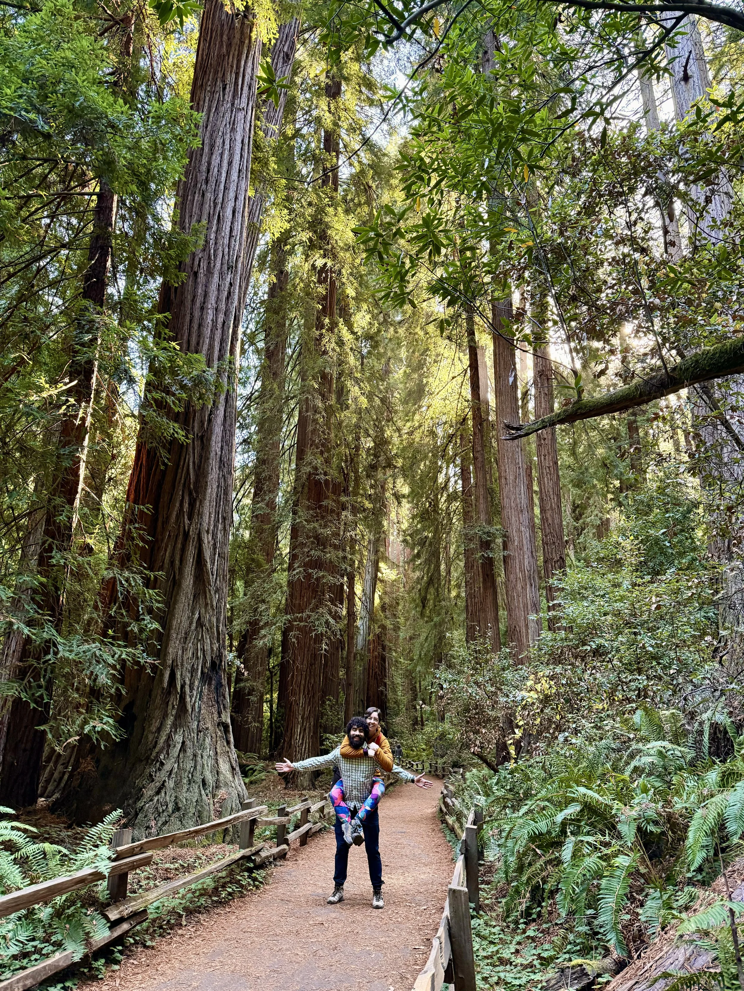
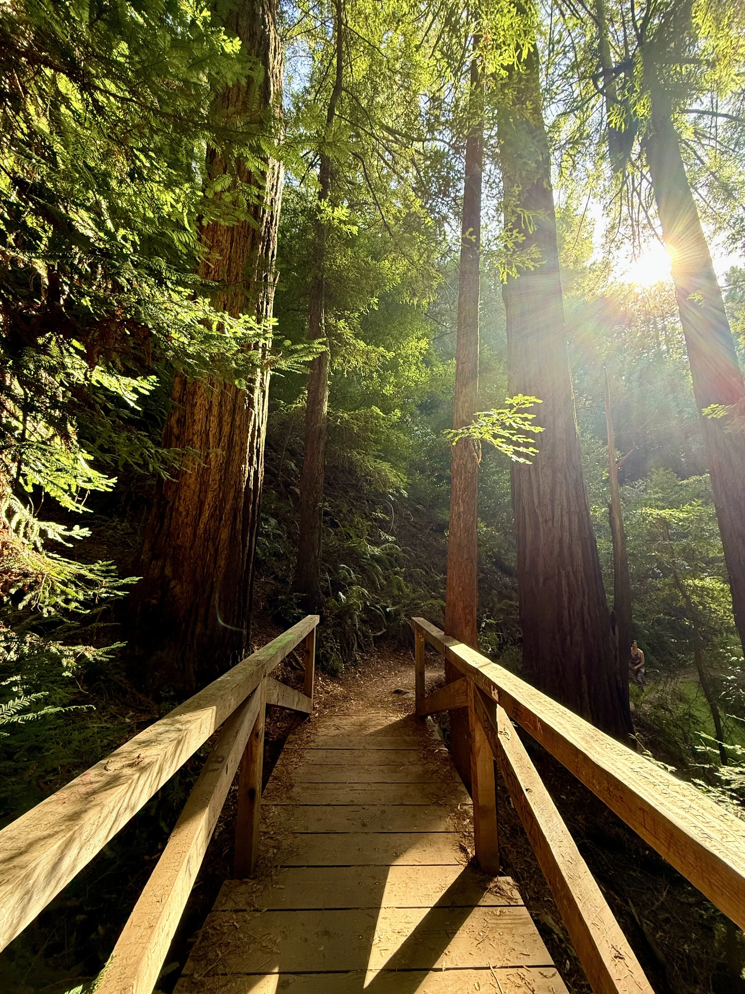
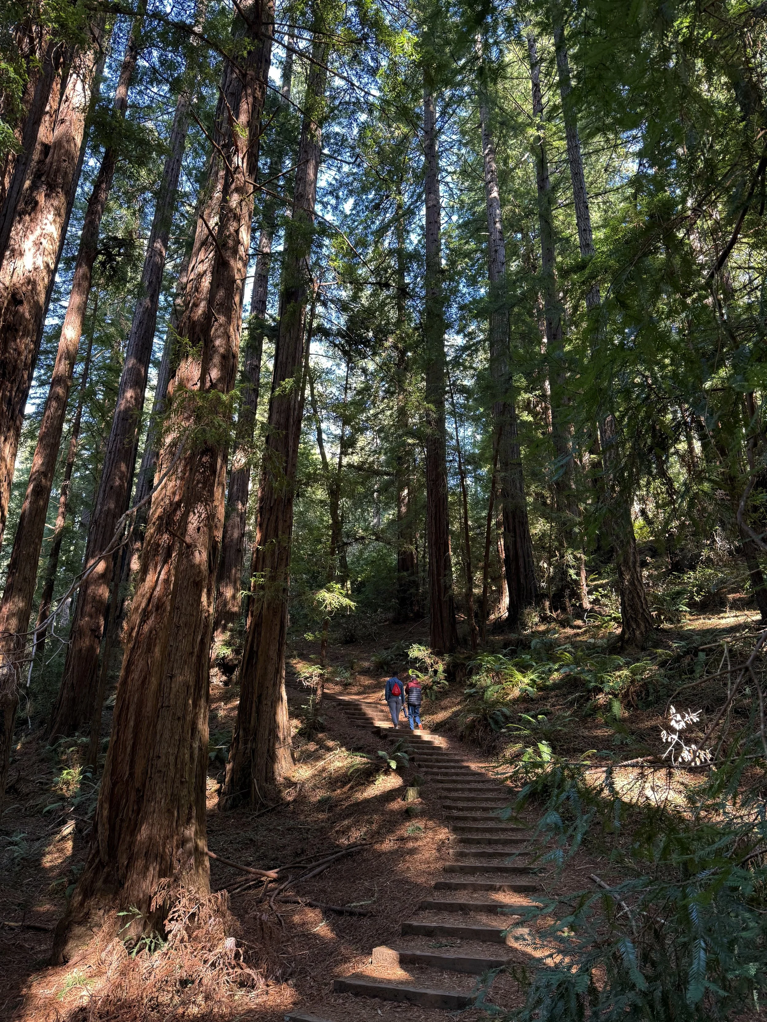
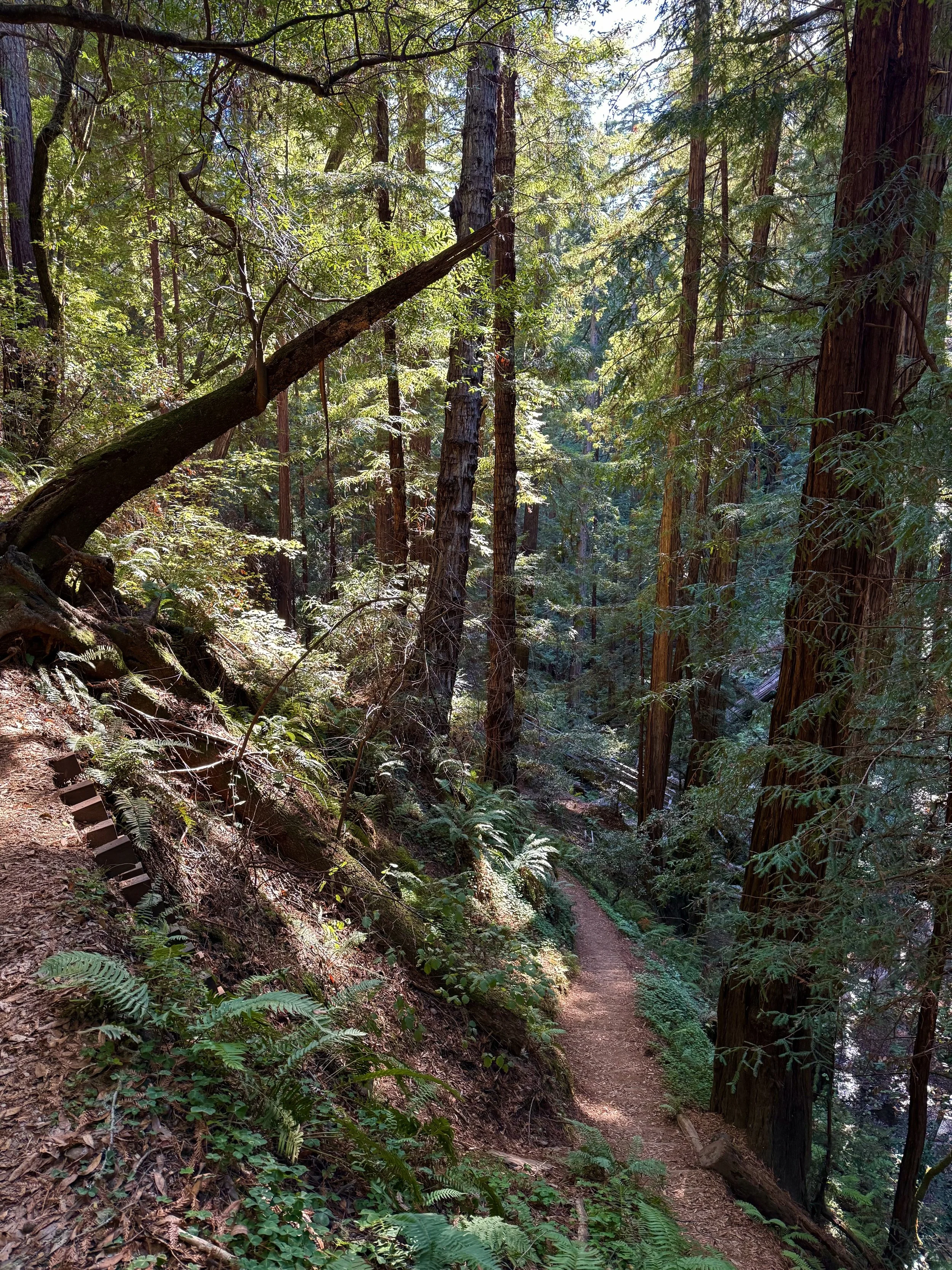
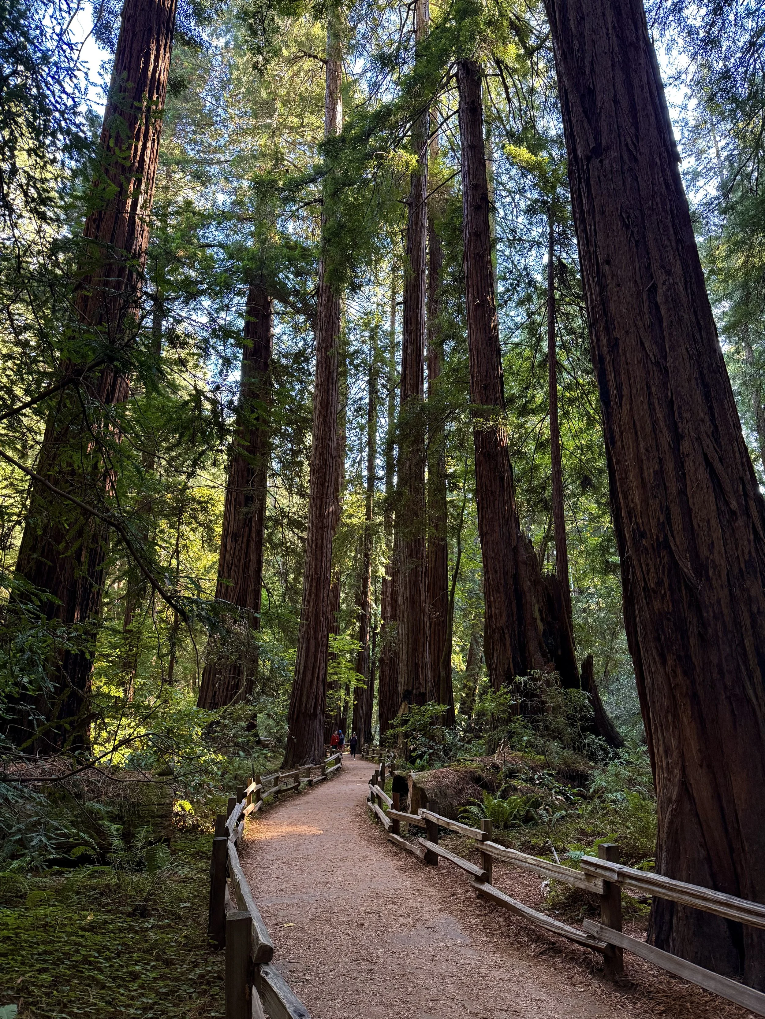
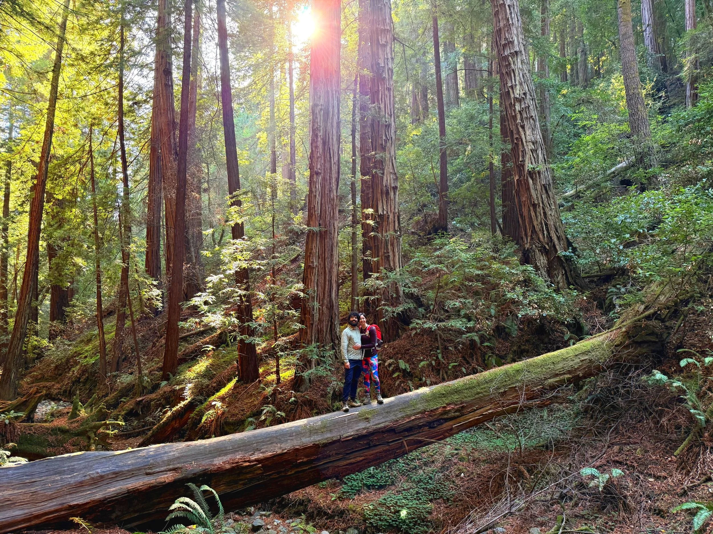
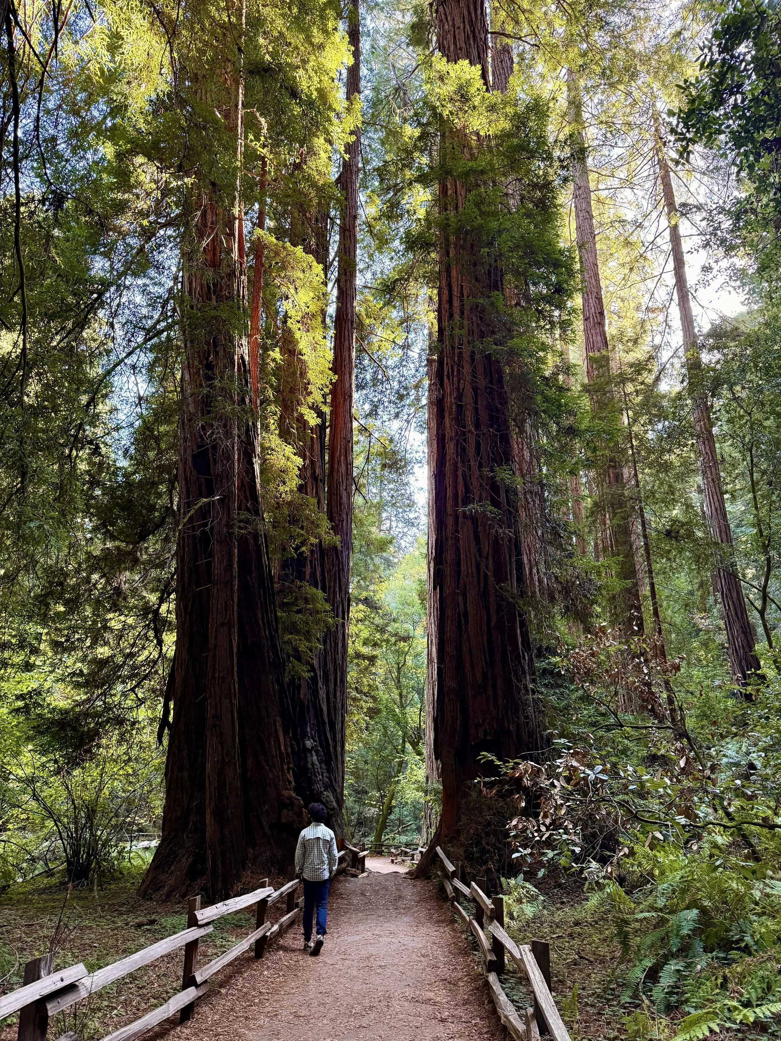
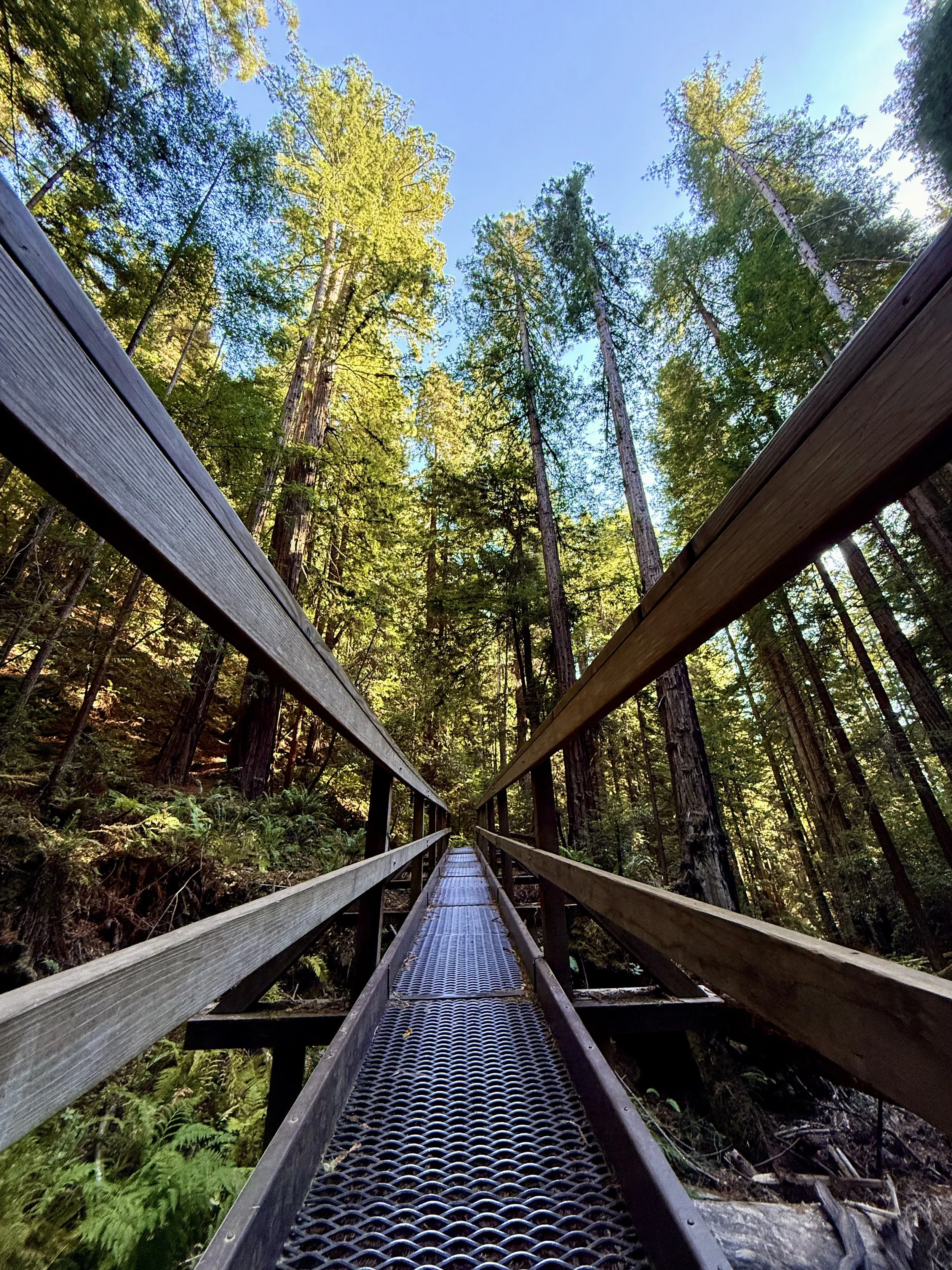
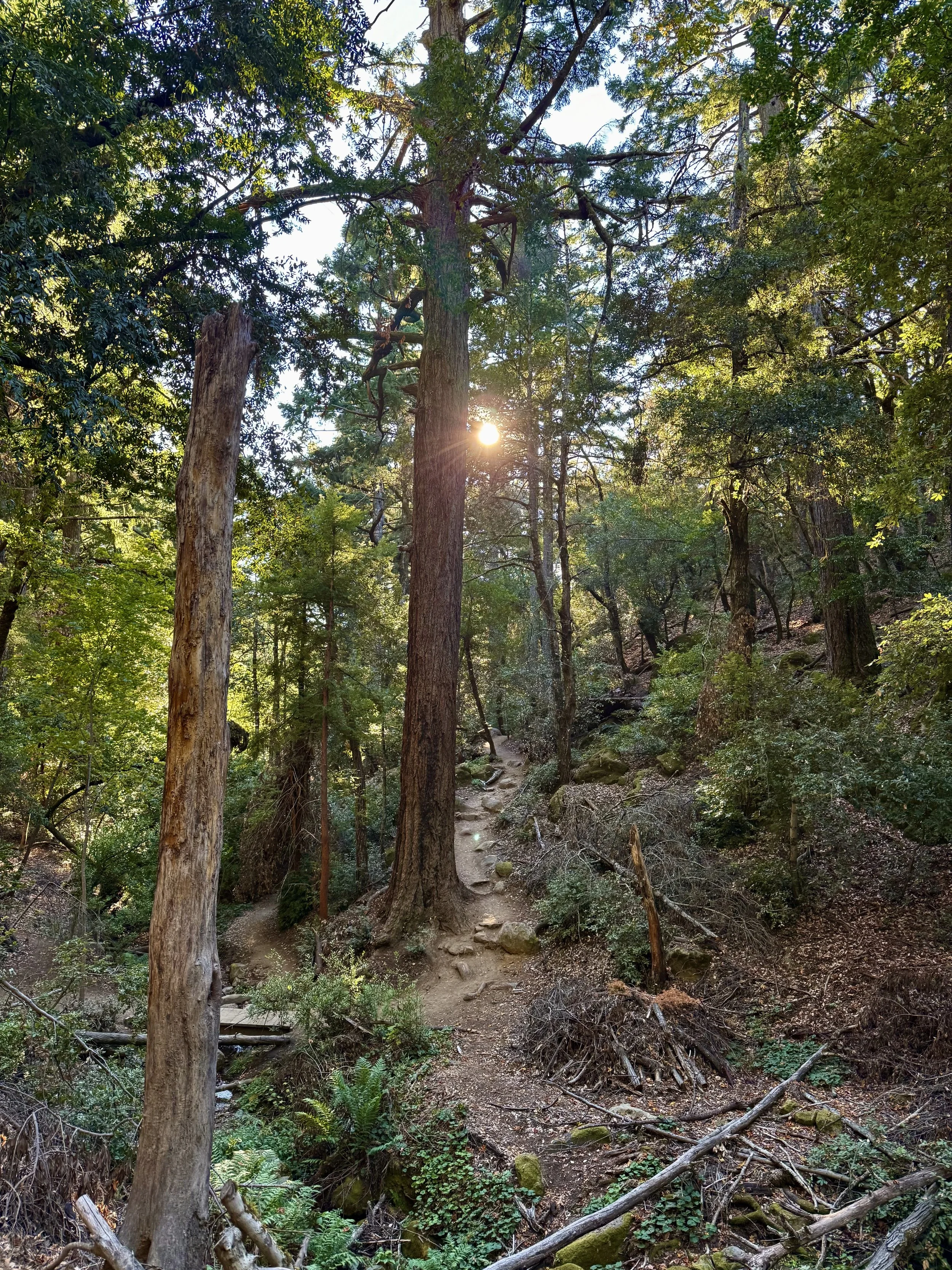
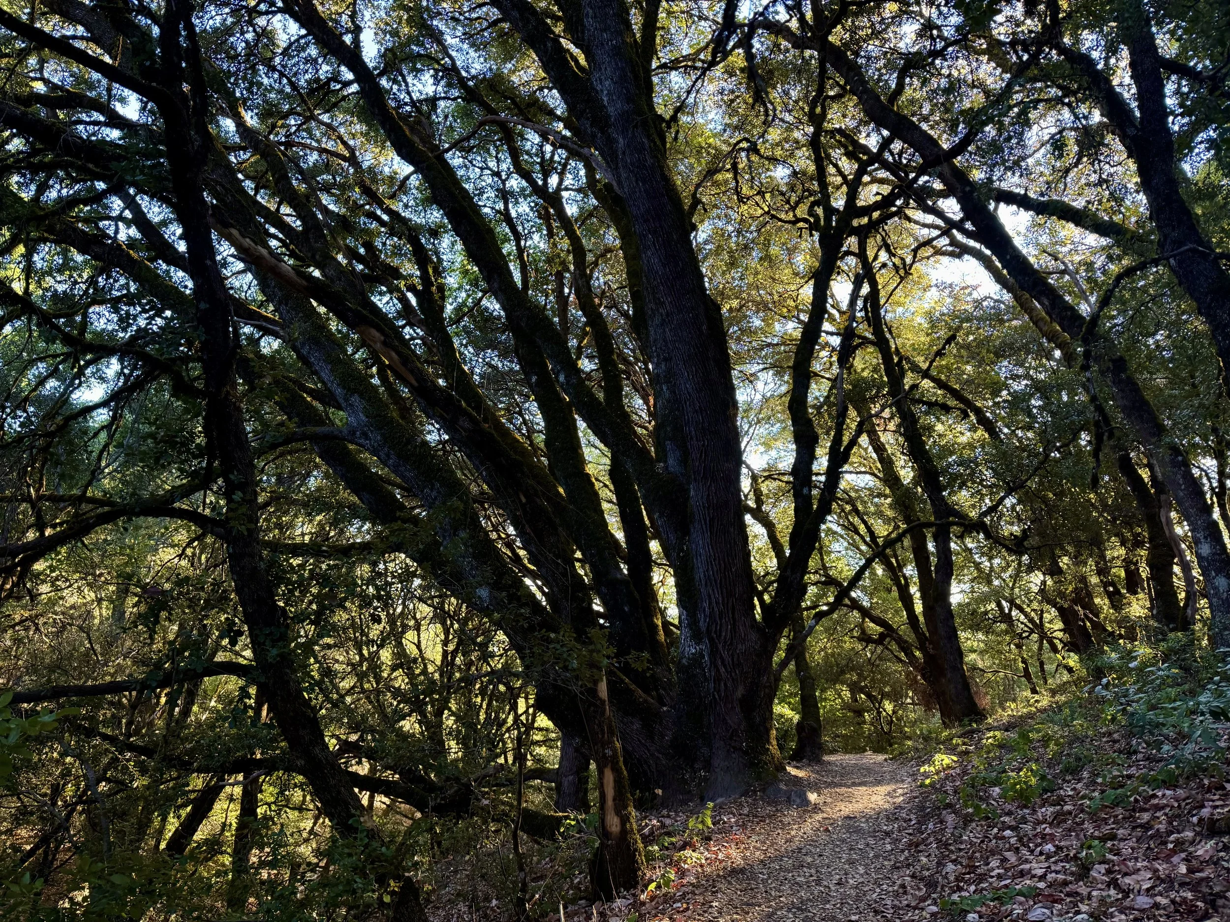
Muir Woods National Monument

Distance from San Francisco: 45 minutes (17 miles) by car
What to expect: As one of the last remaining old-growth coastal redwood forests in the San Francisco Bay Area, get ready for towering trees (some over 600 years old) and fern-lined trails. There’s an accessible, main boardwalk trail to enjoy, as well as more rugged side trails.
Trail rec: Fern Creek, Lost, and Canopy Trail Loop (3-4 miles, 1.5-2hr)
Tip: Book your parking pass in advance (available here), it’s required and lots fill up fast!
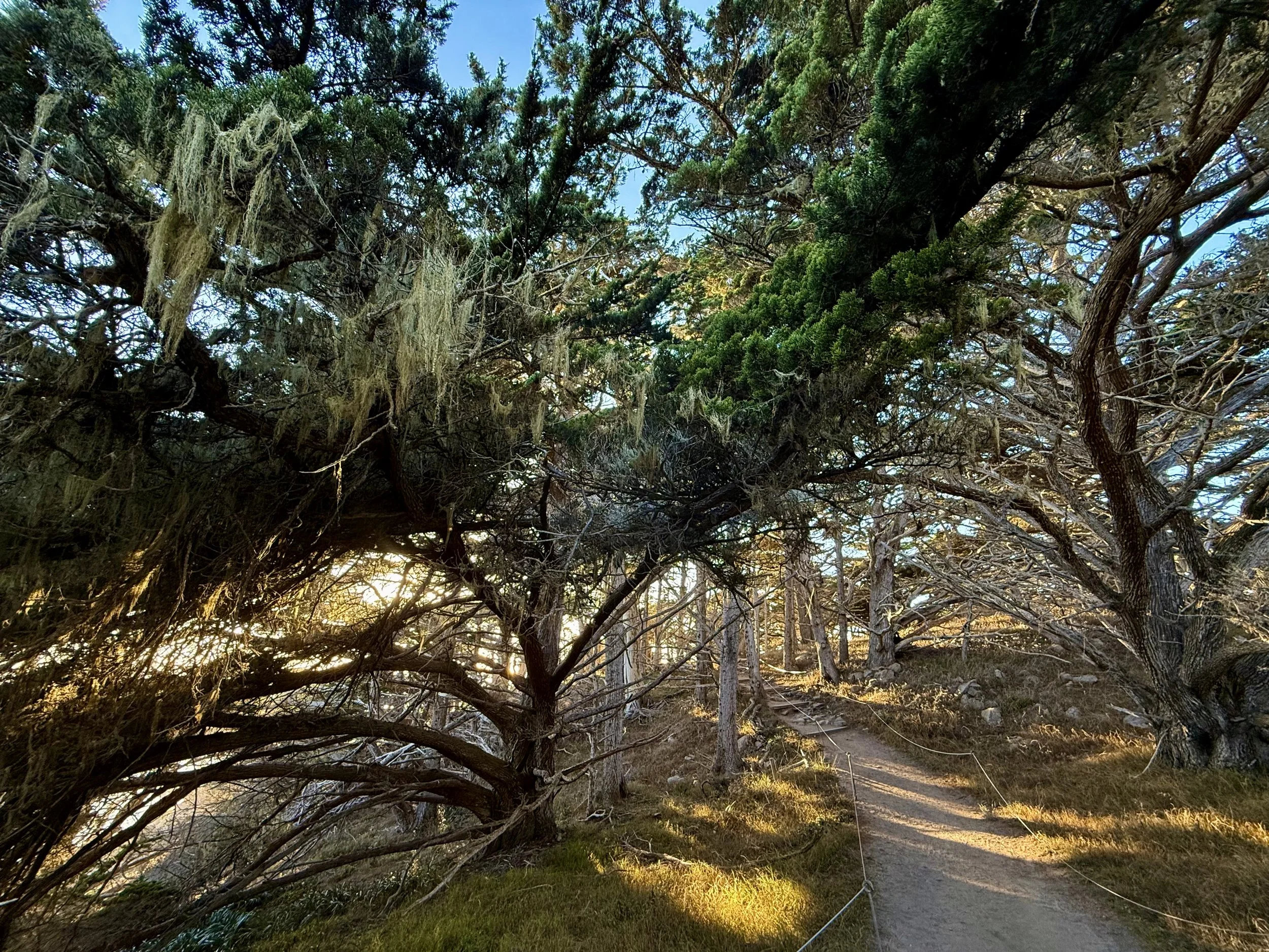
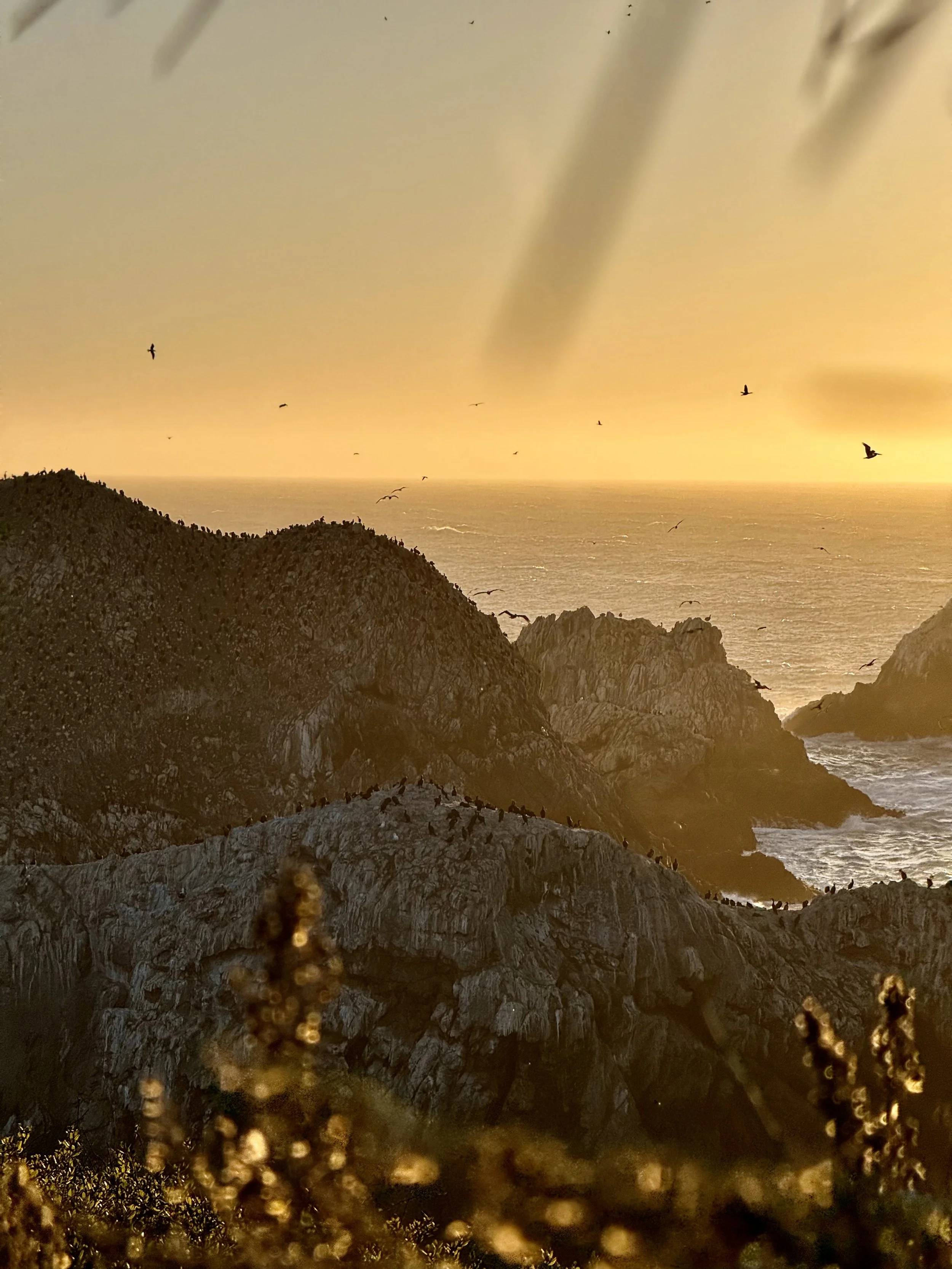
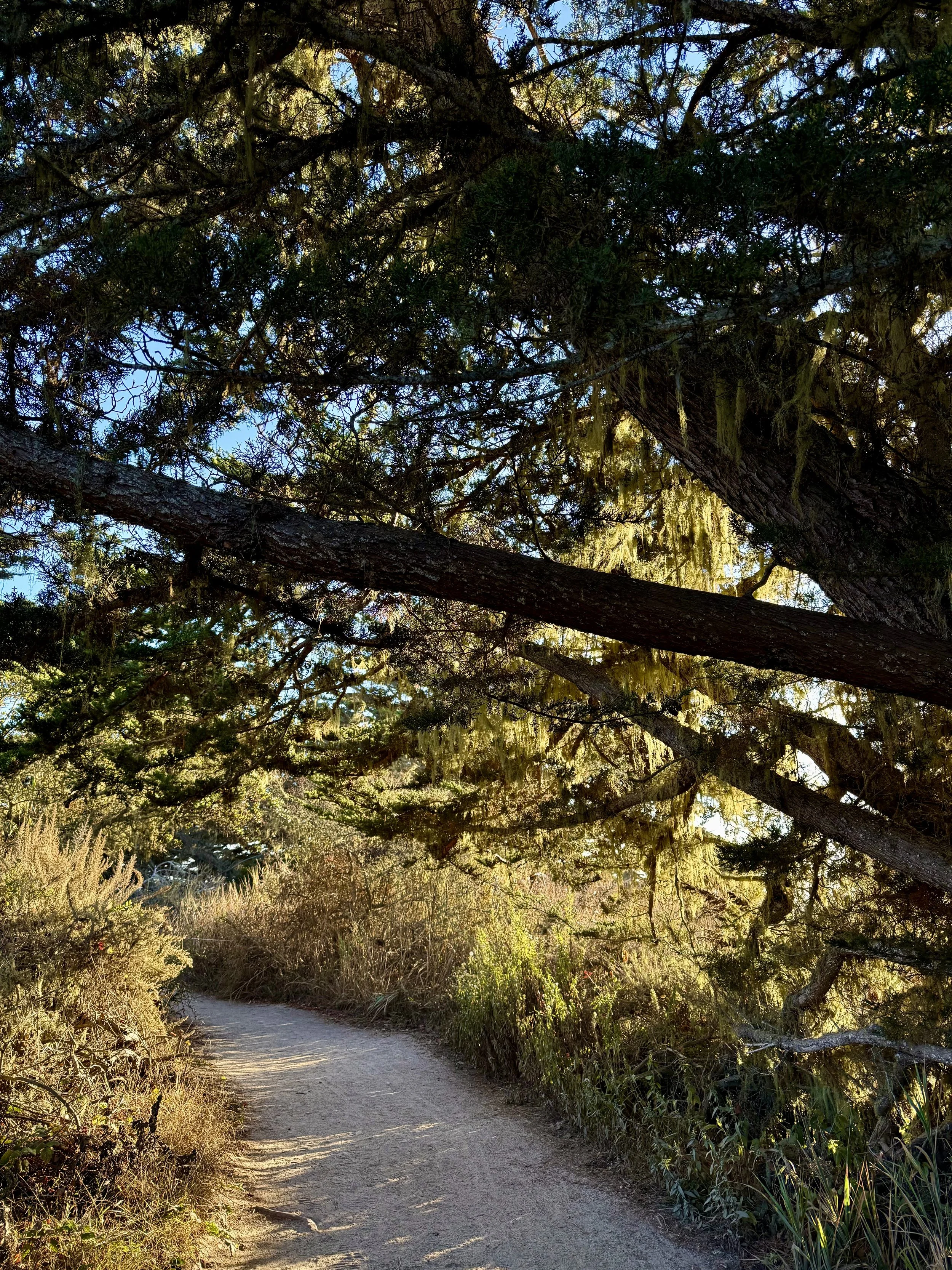
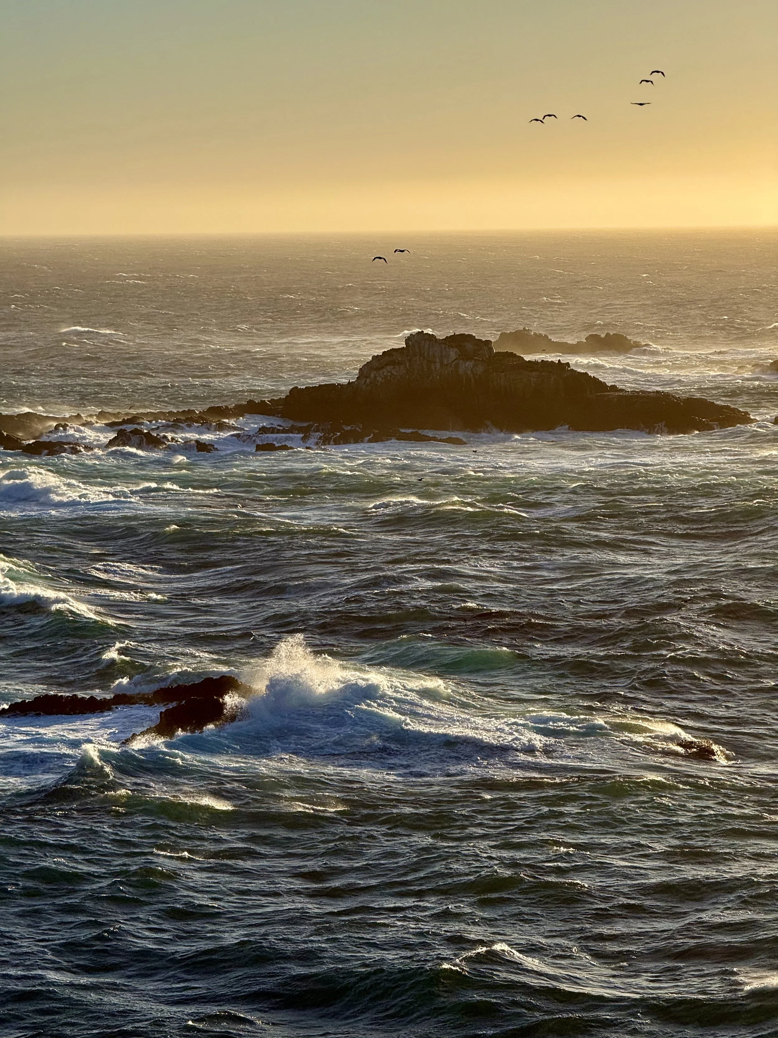
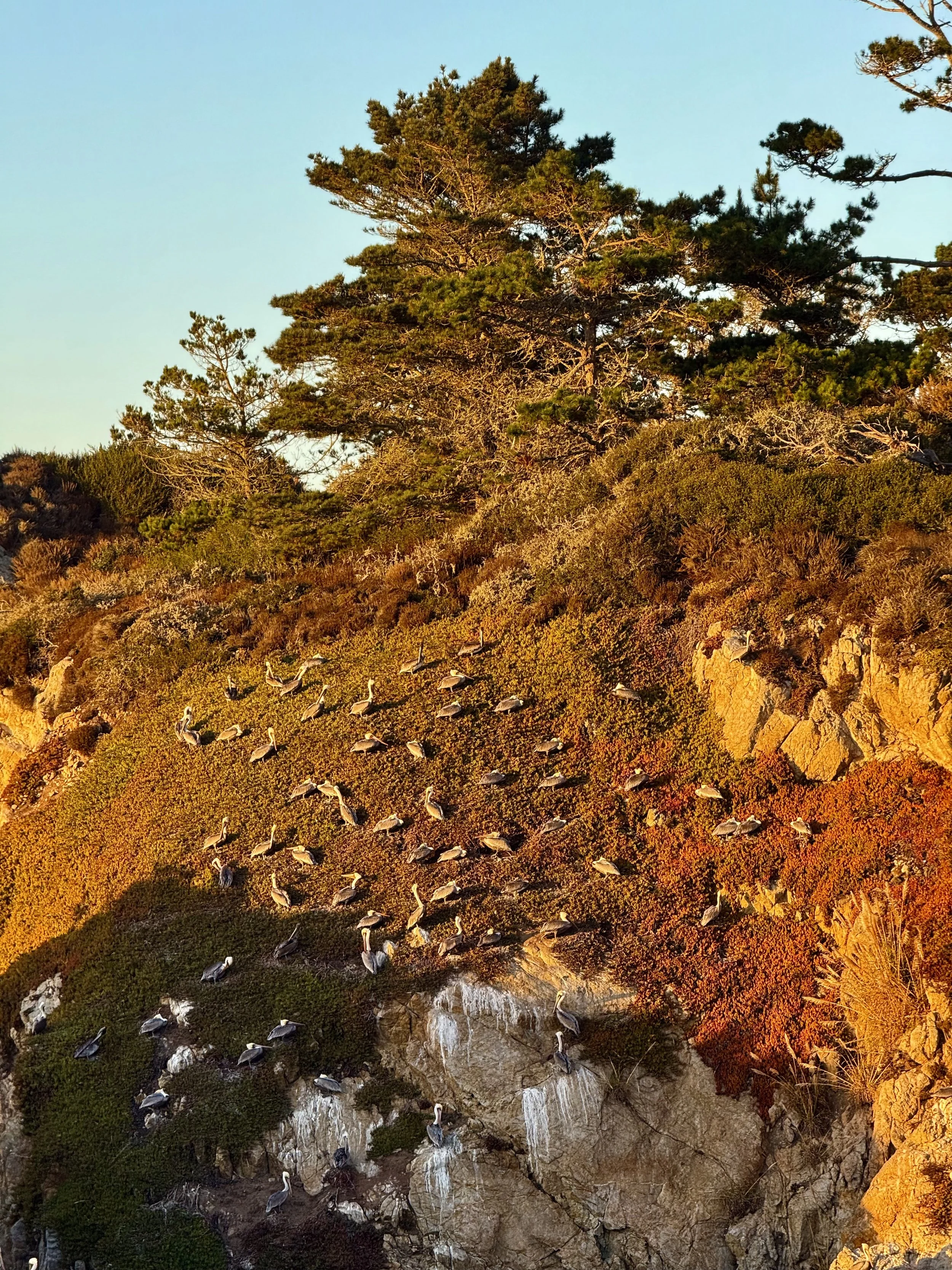
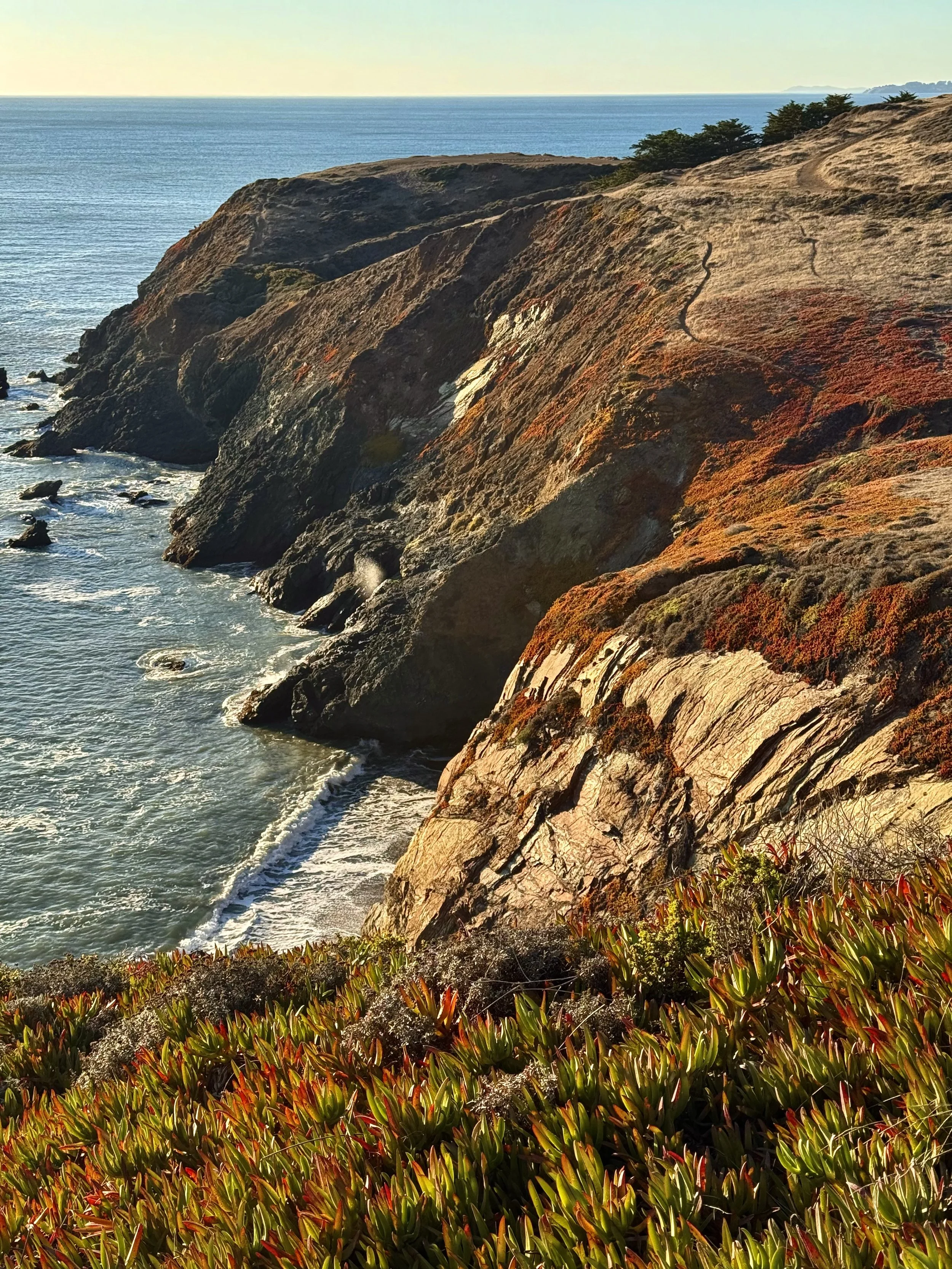
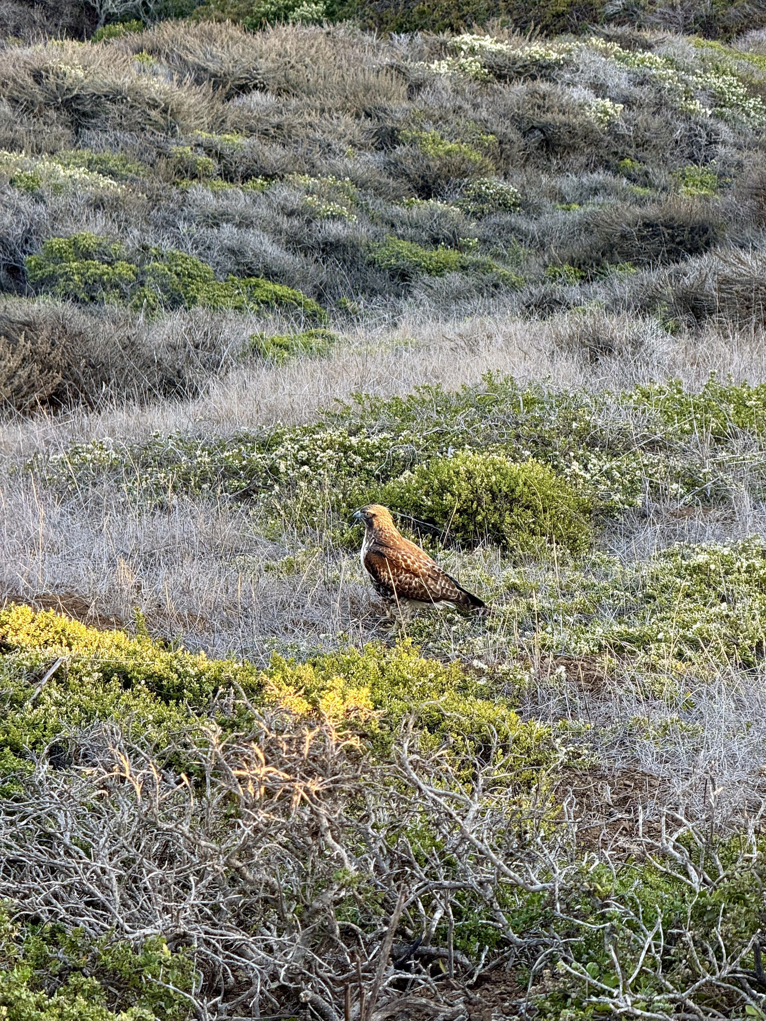
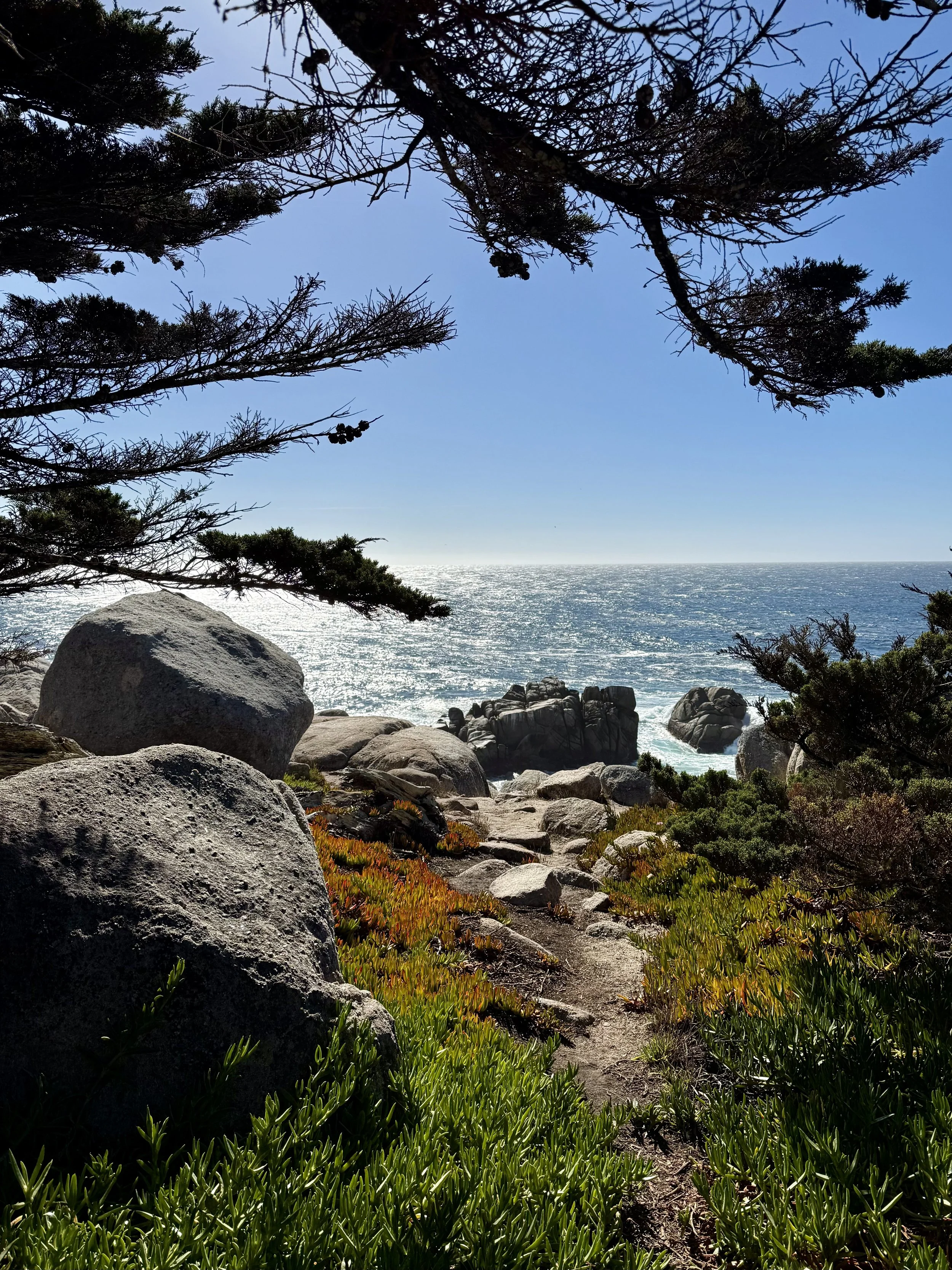
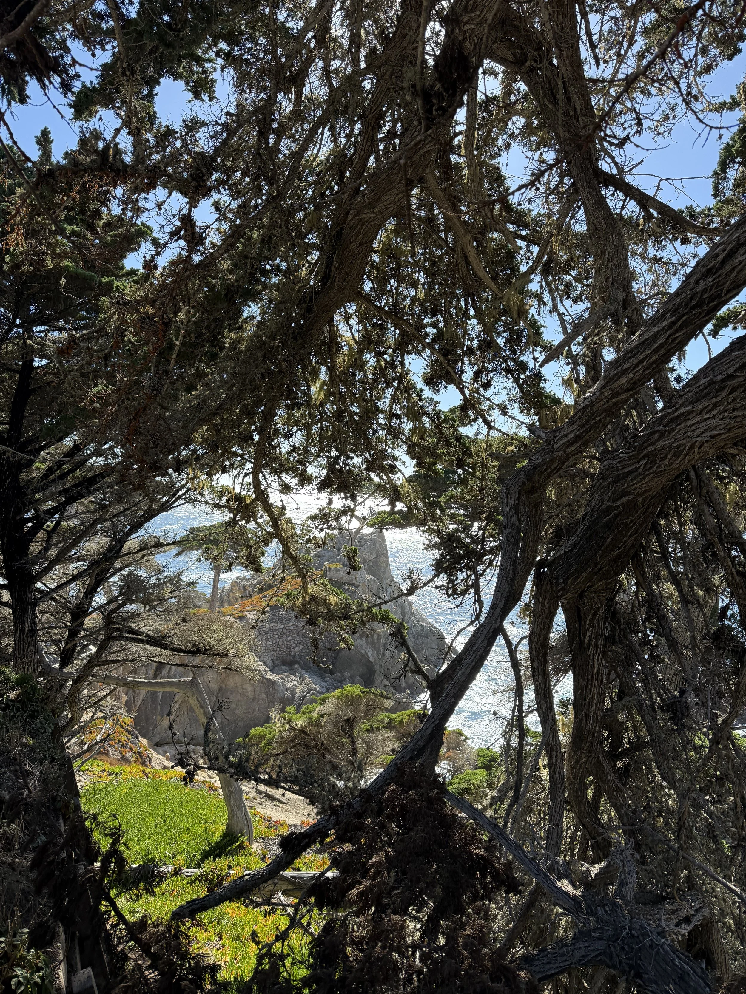
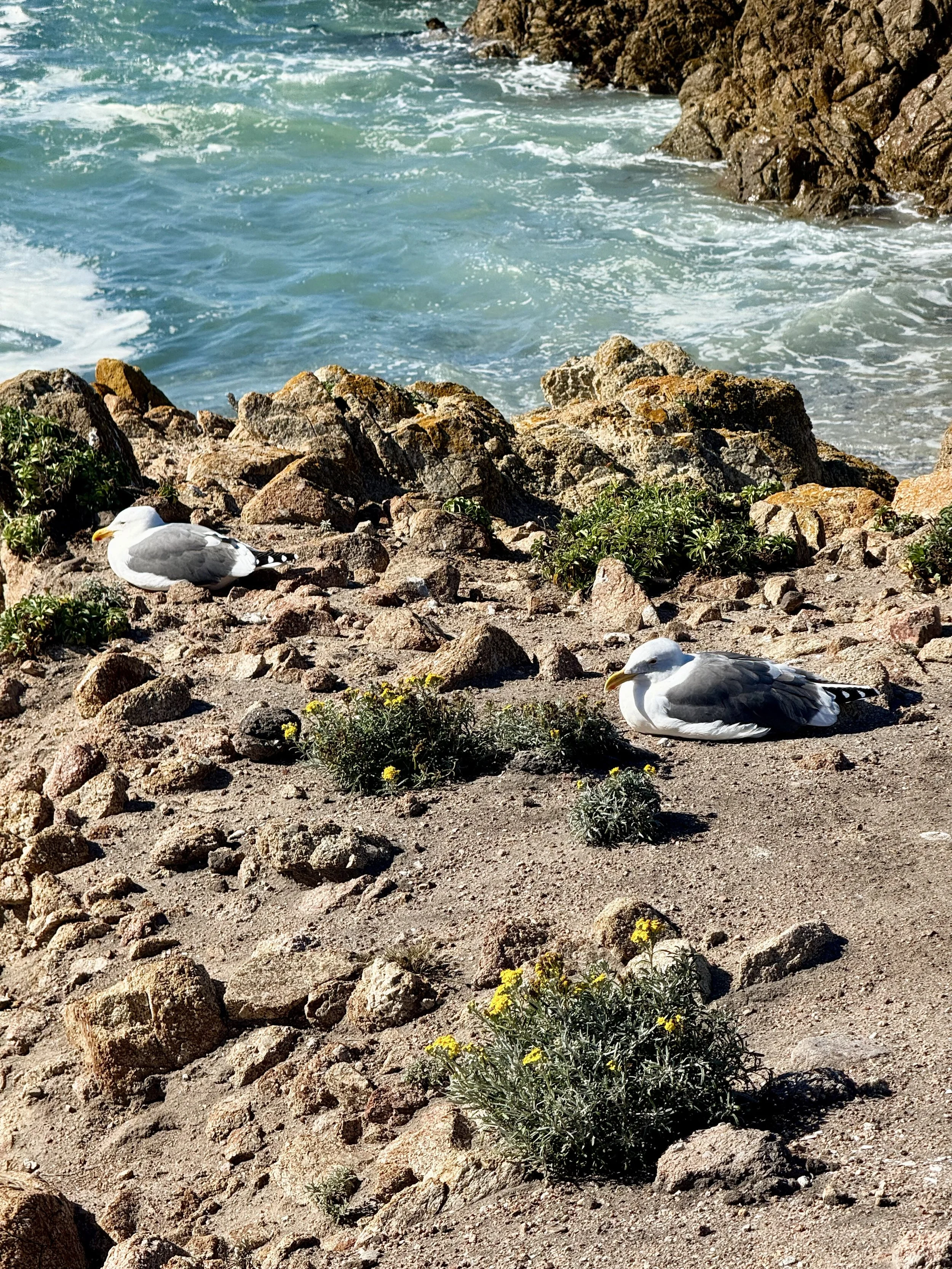
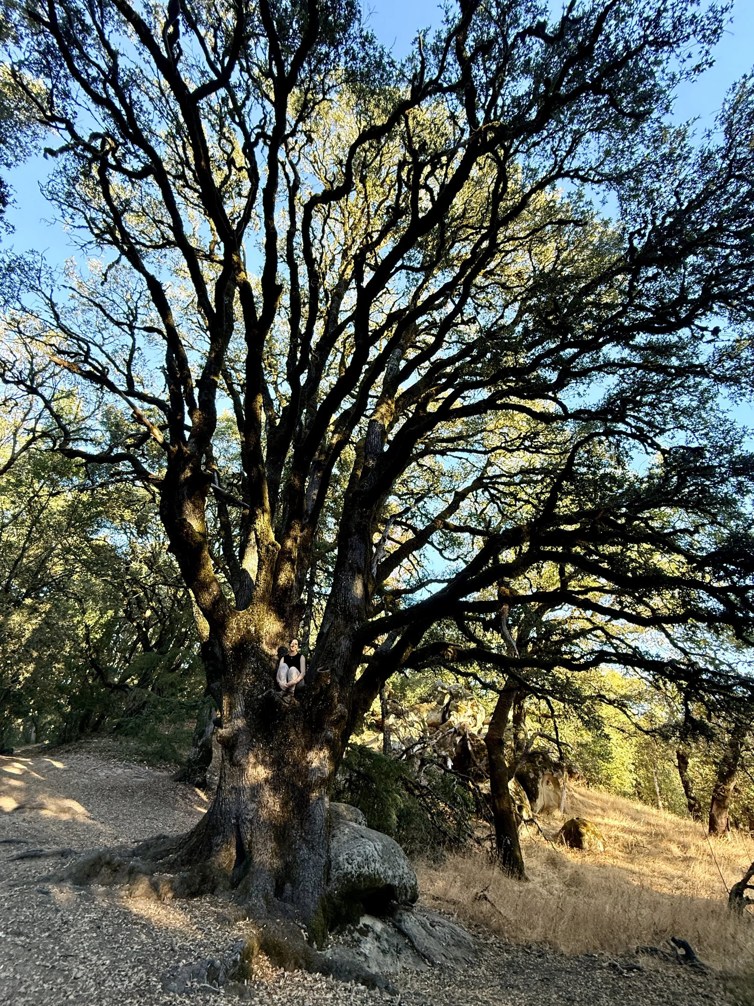
Point Lobos State Natural Reserve
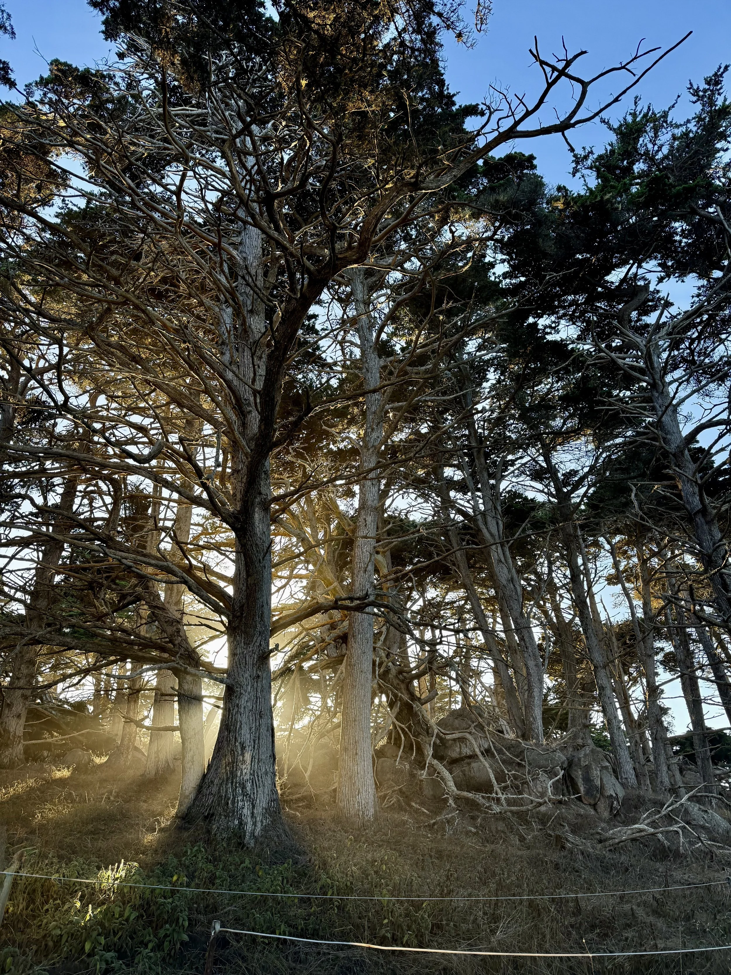
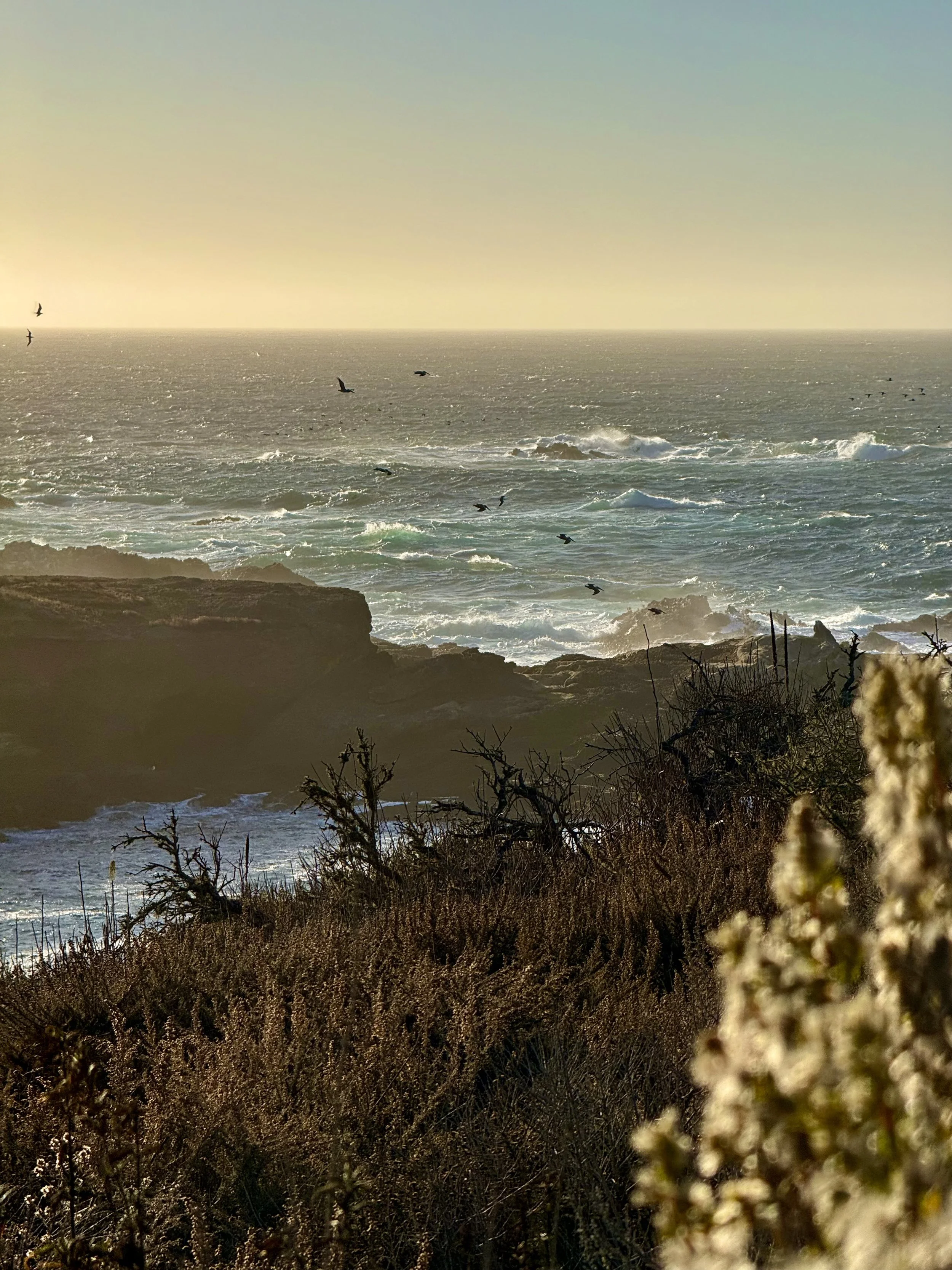
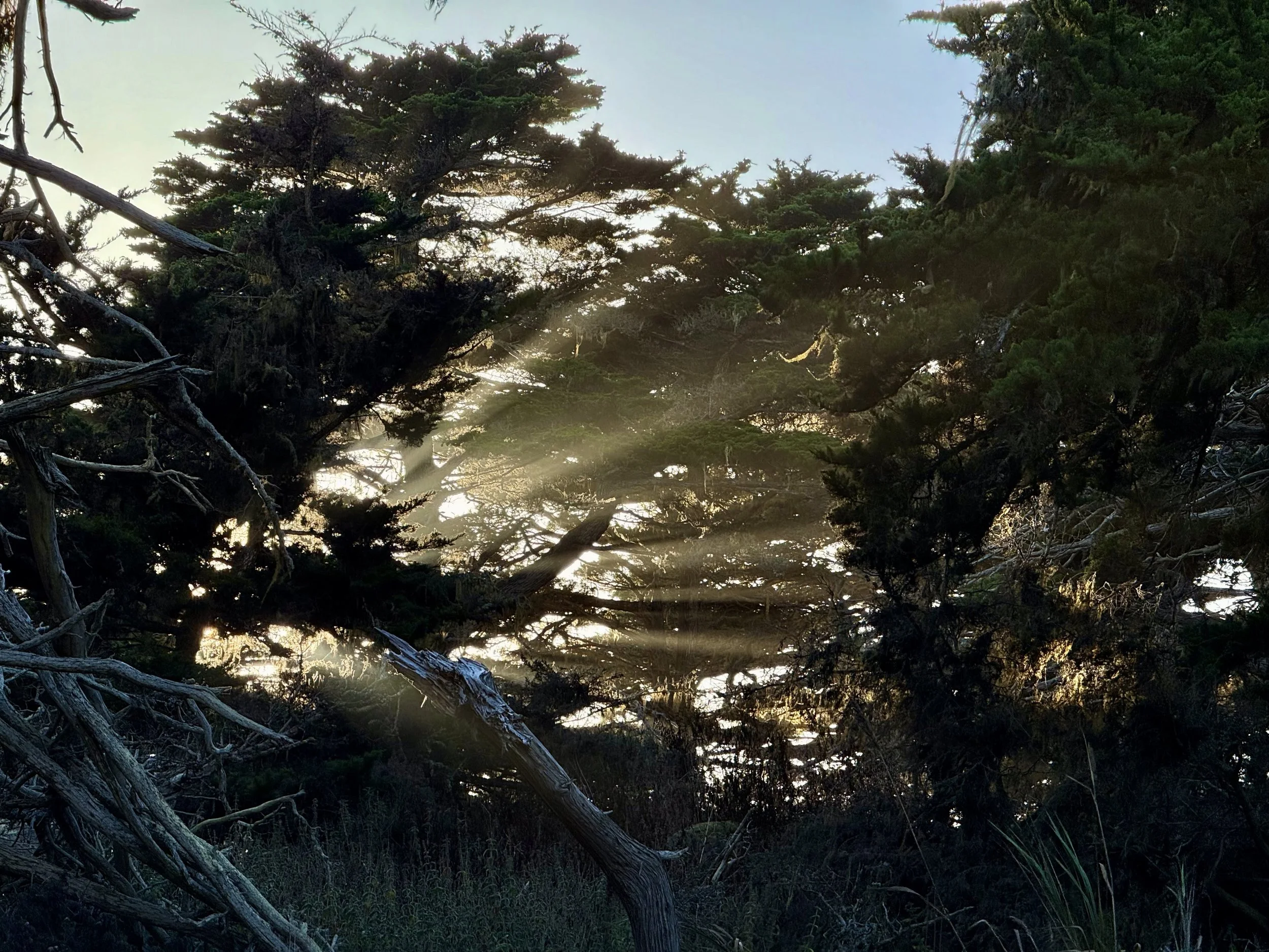

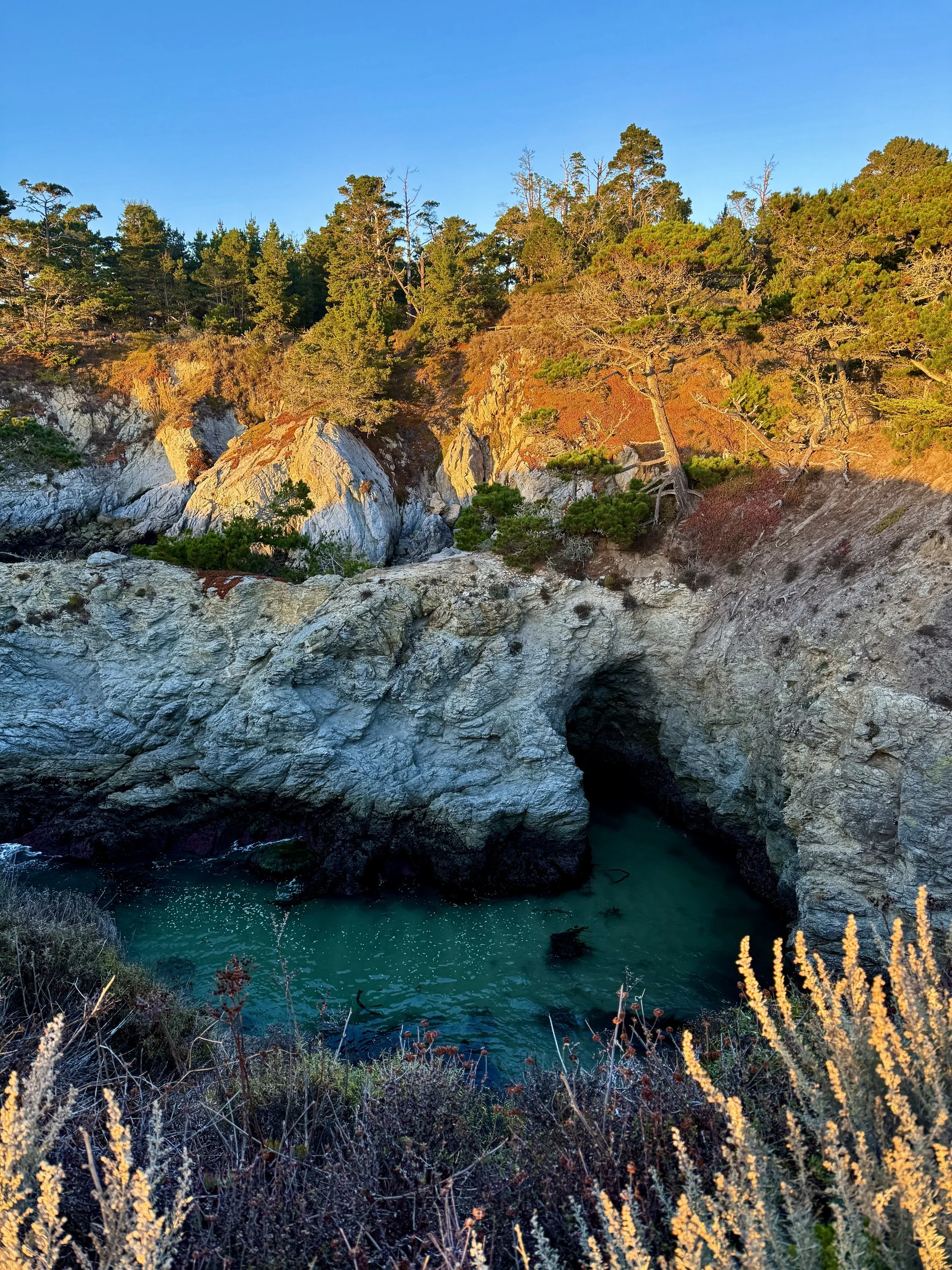
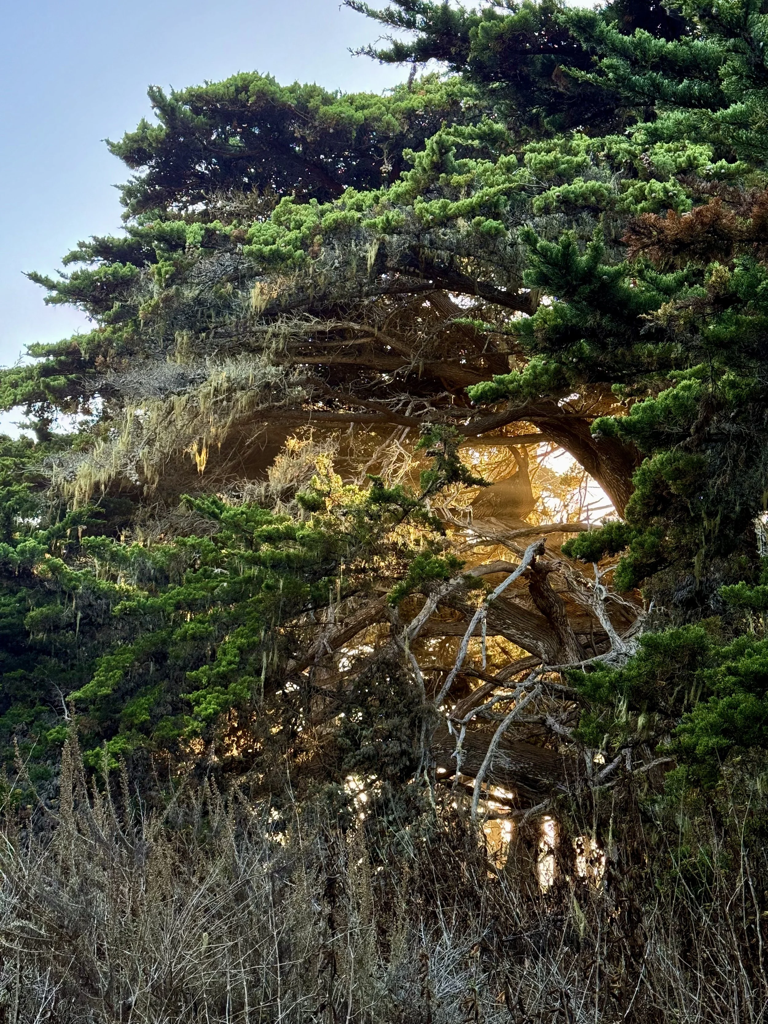
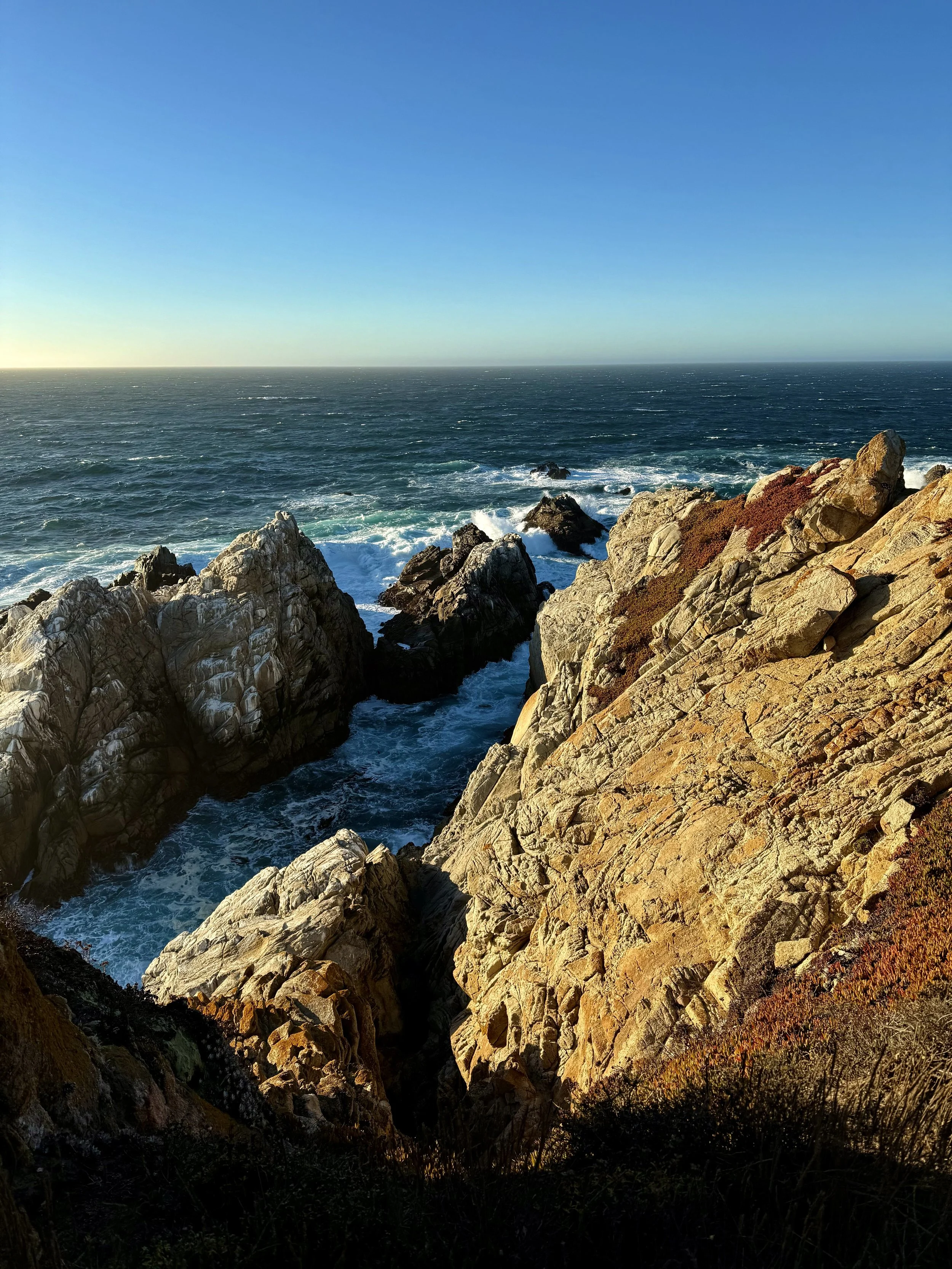
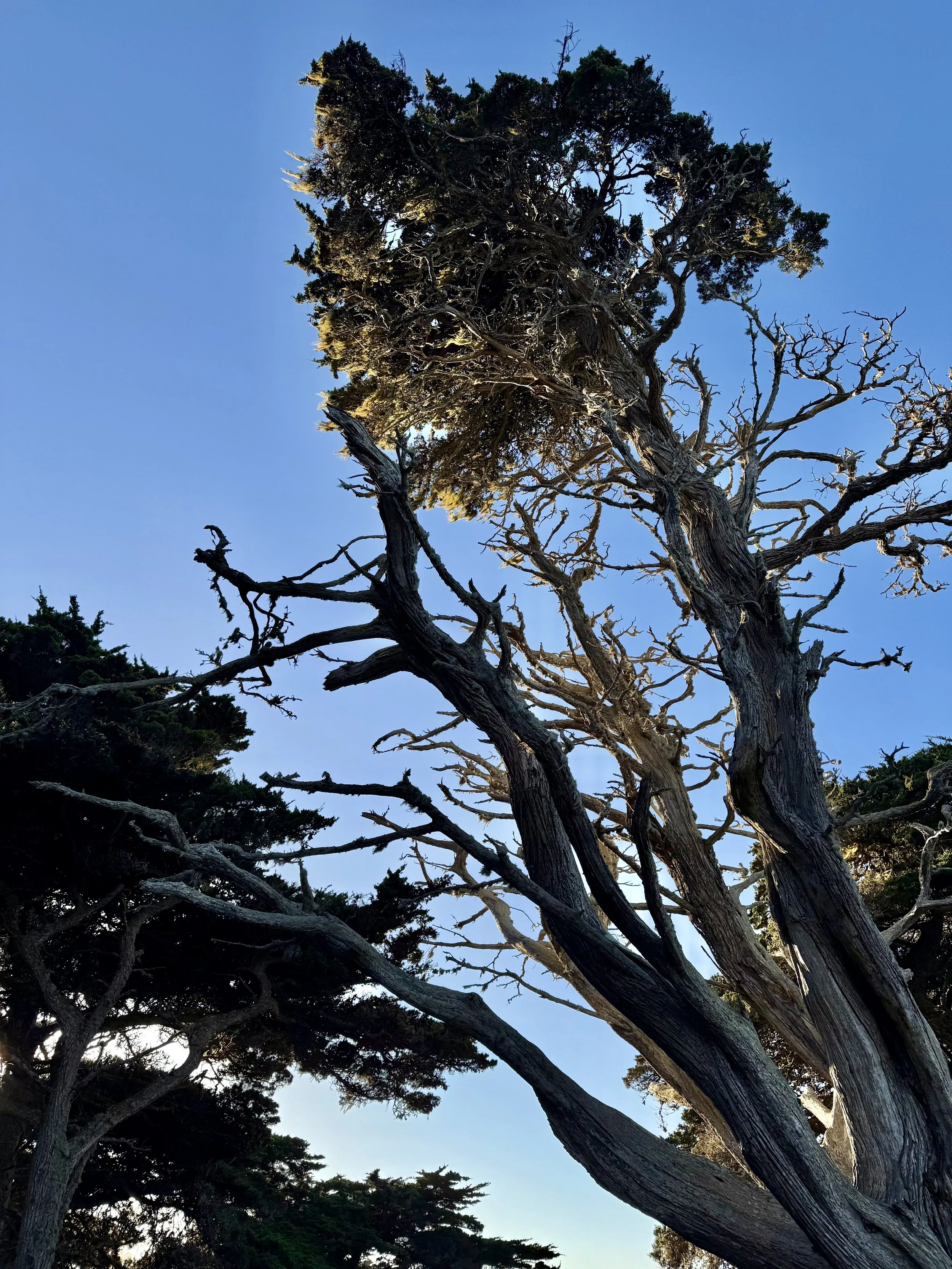
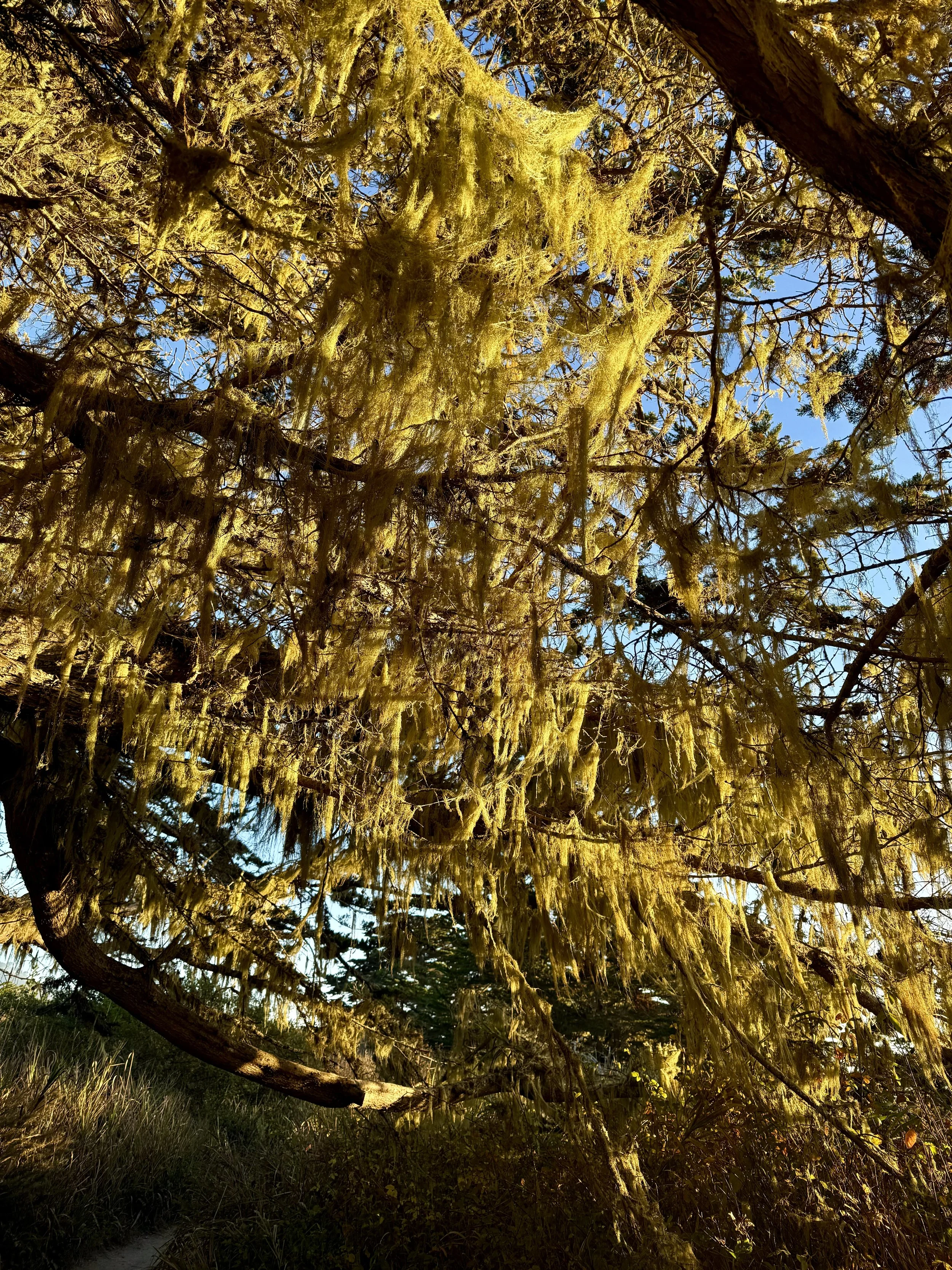
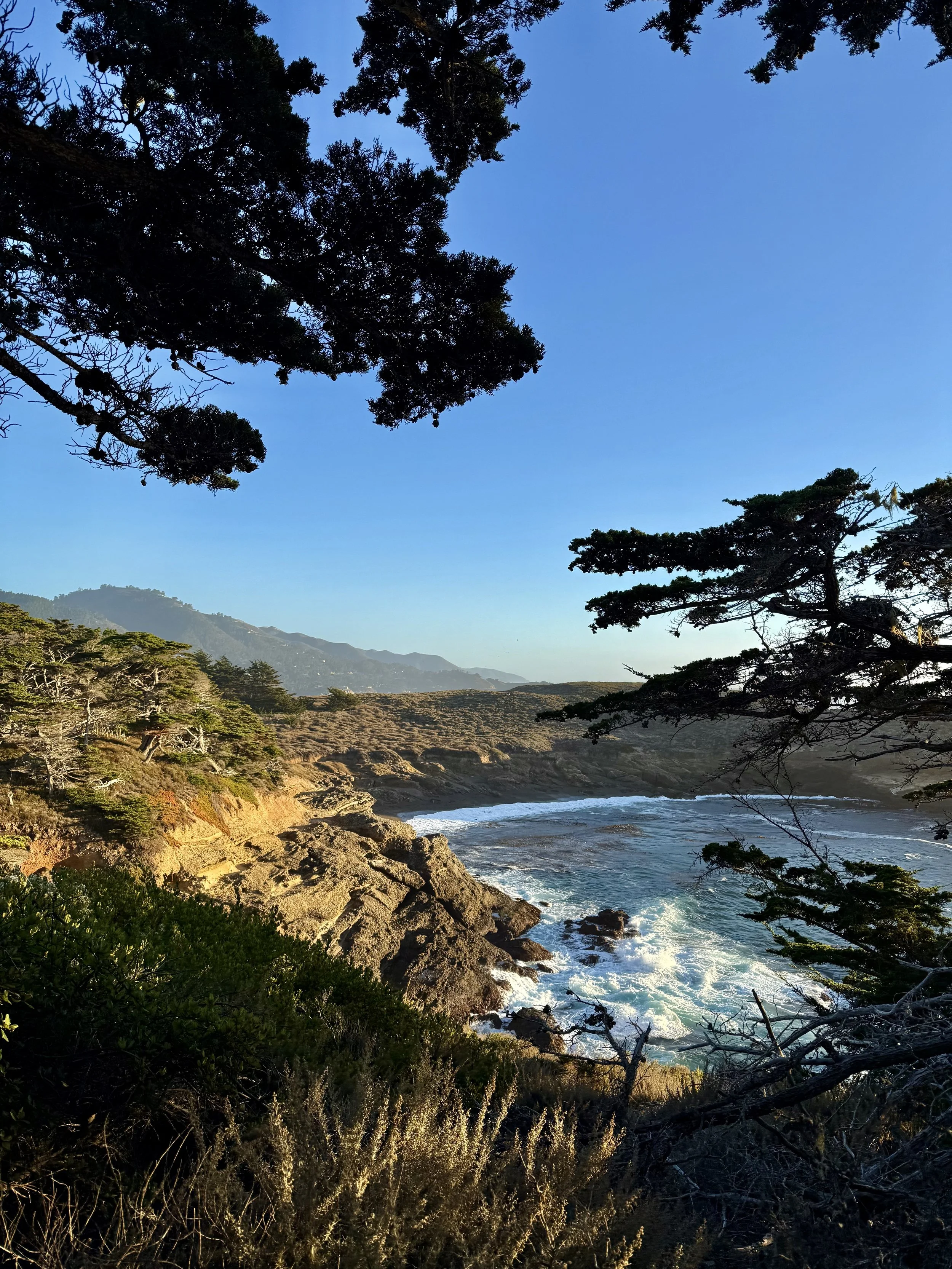
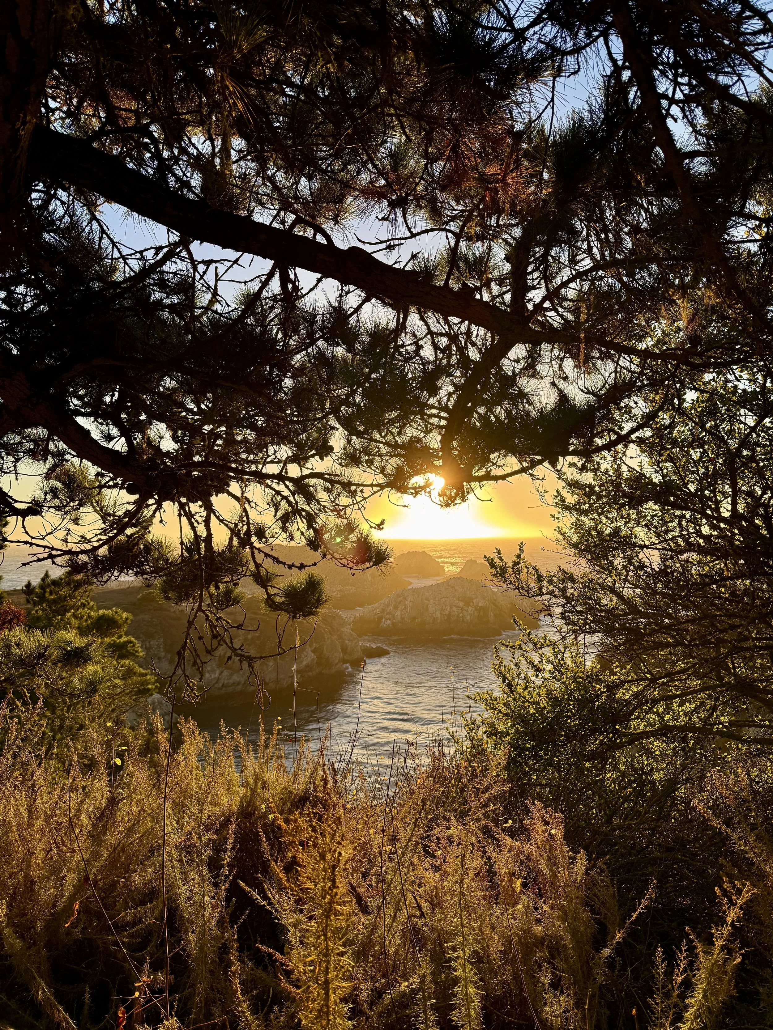
Distance from San Francisco: 2.5hr (125 miles) by car
What to expect: This reserve has a wonderful network of short, scenic trails that allows you to “choose your own adventure” a bit. Located on the iconic Big Sur coastline, Point Lobos offers up wildlife galore and an otherworldly golden hour. The sun rays streaming through the old growth cypress trees is a sight to be seen.
Trail recs: Cypress Grove Trail (0.9 miles, 40min) and Bird Island Trail (0.8 miles, 40min)
Tip: Both of these hikes can be done quicker for sure, but give yourself ample time to take in the sights. I can’t count how many times I squealed on these trails.
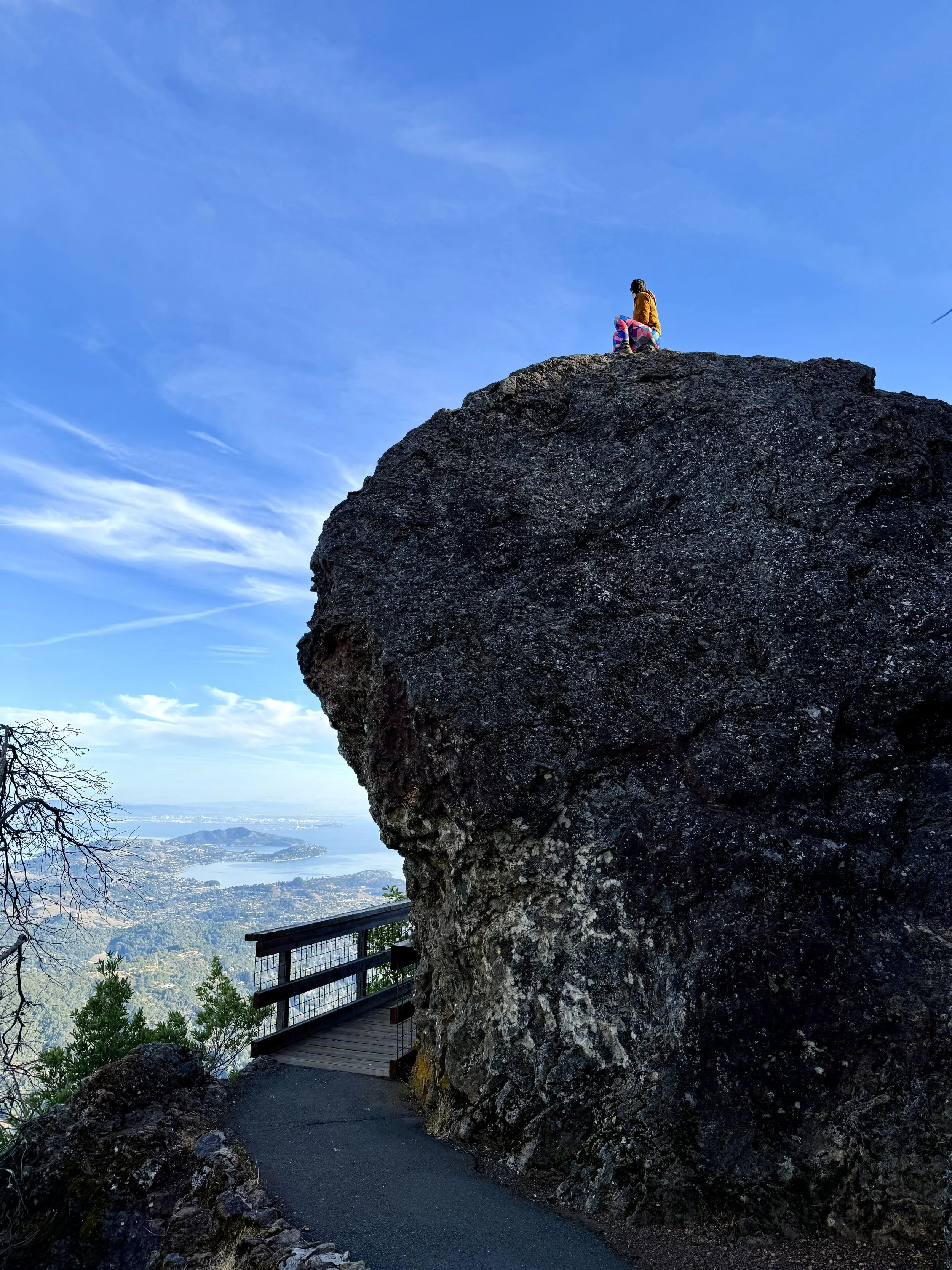
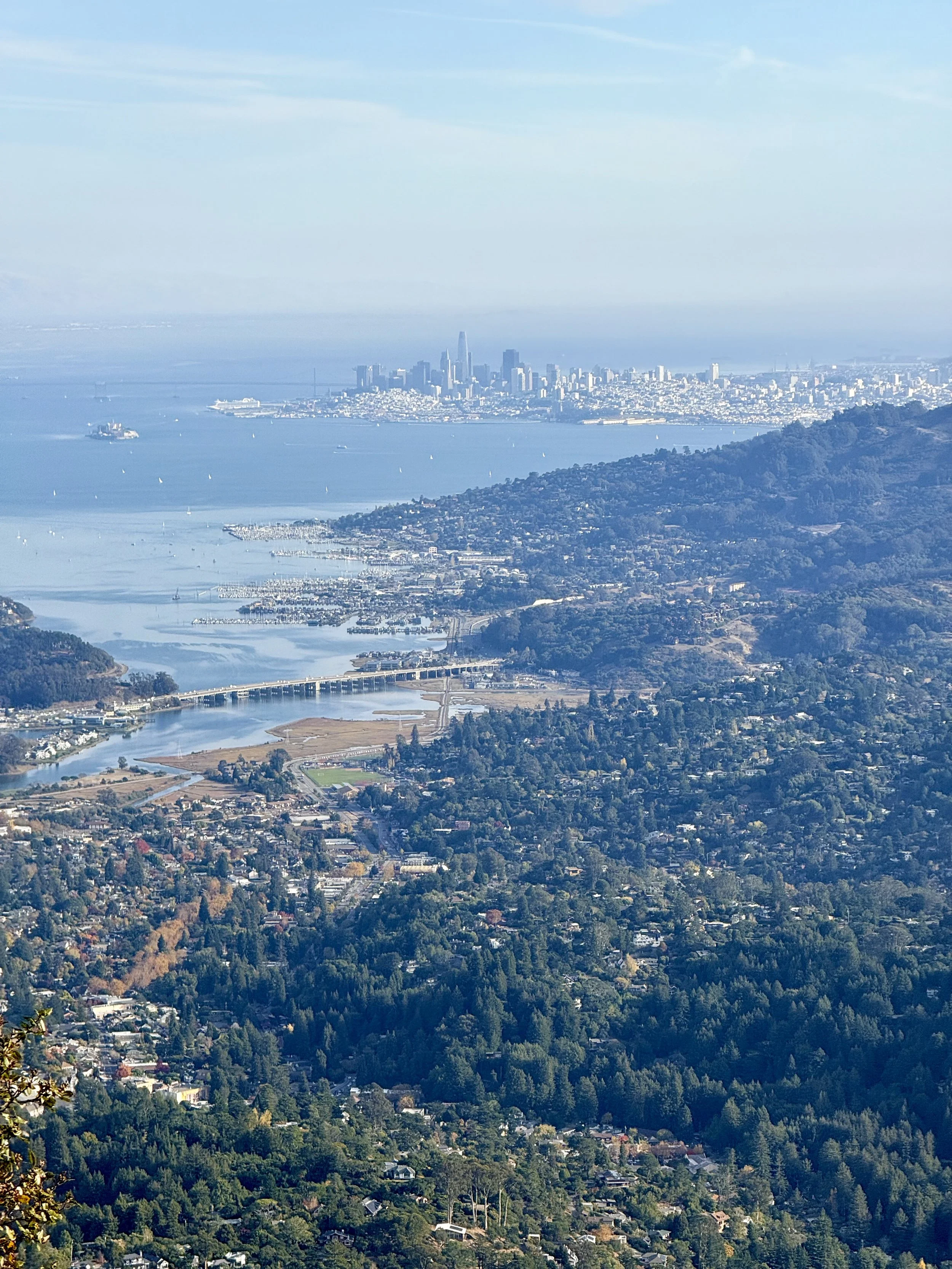
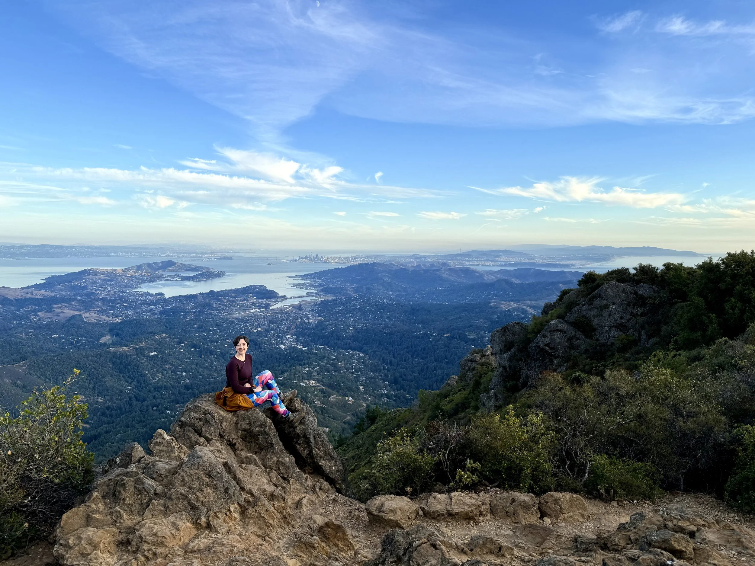
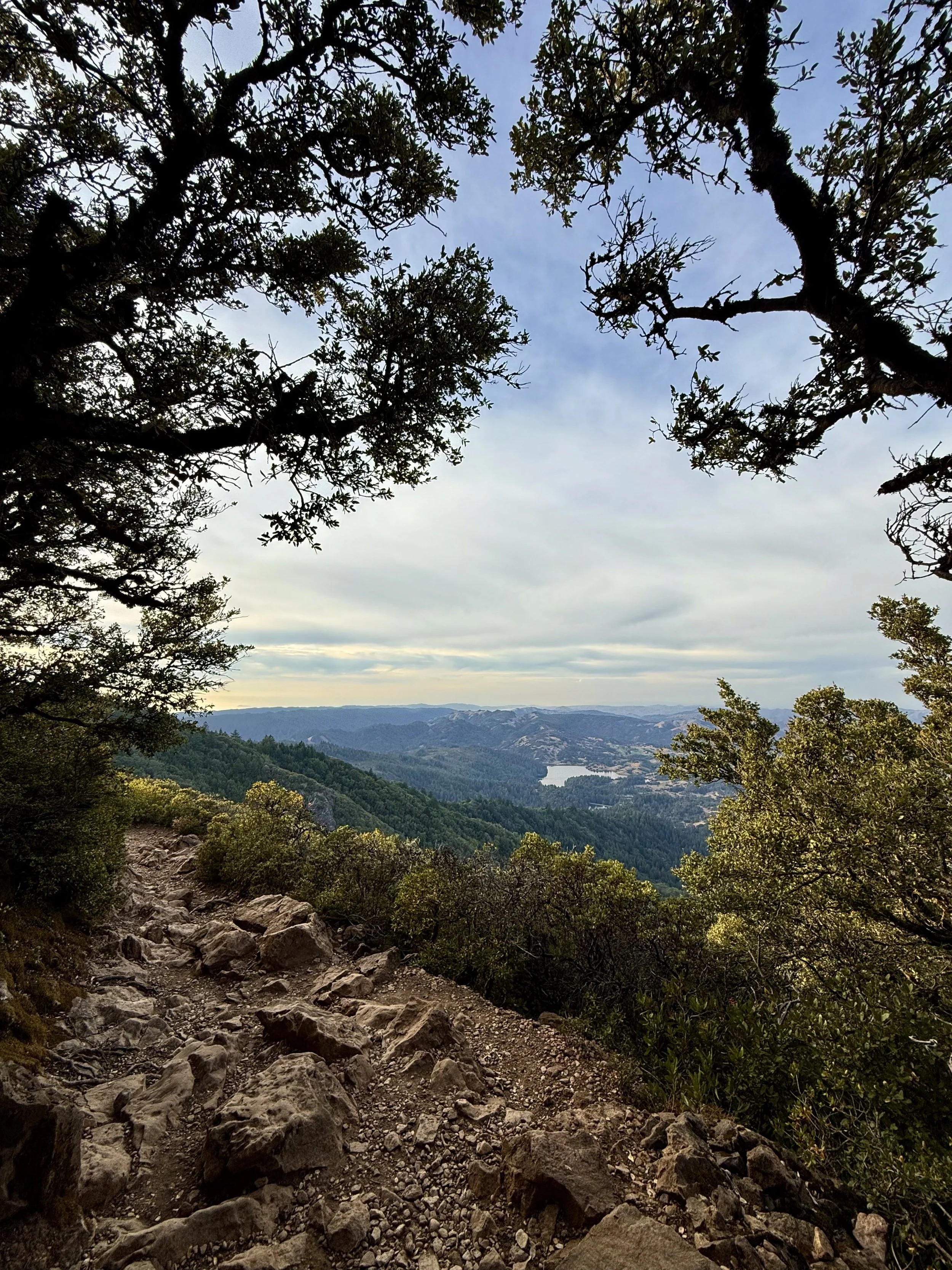
Mount Tamalpais
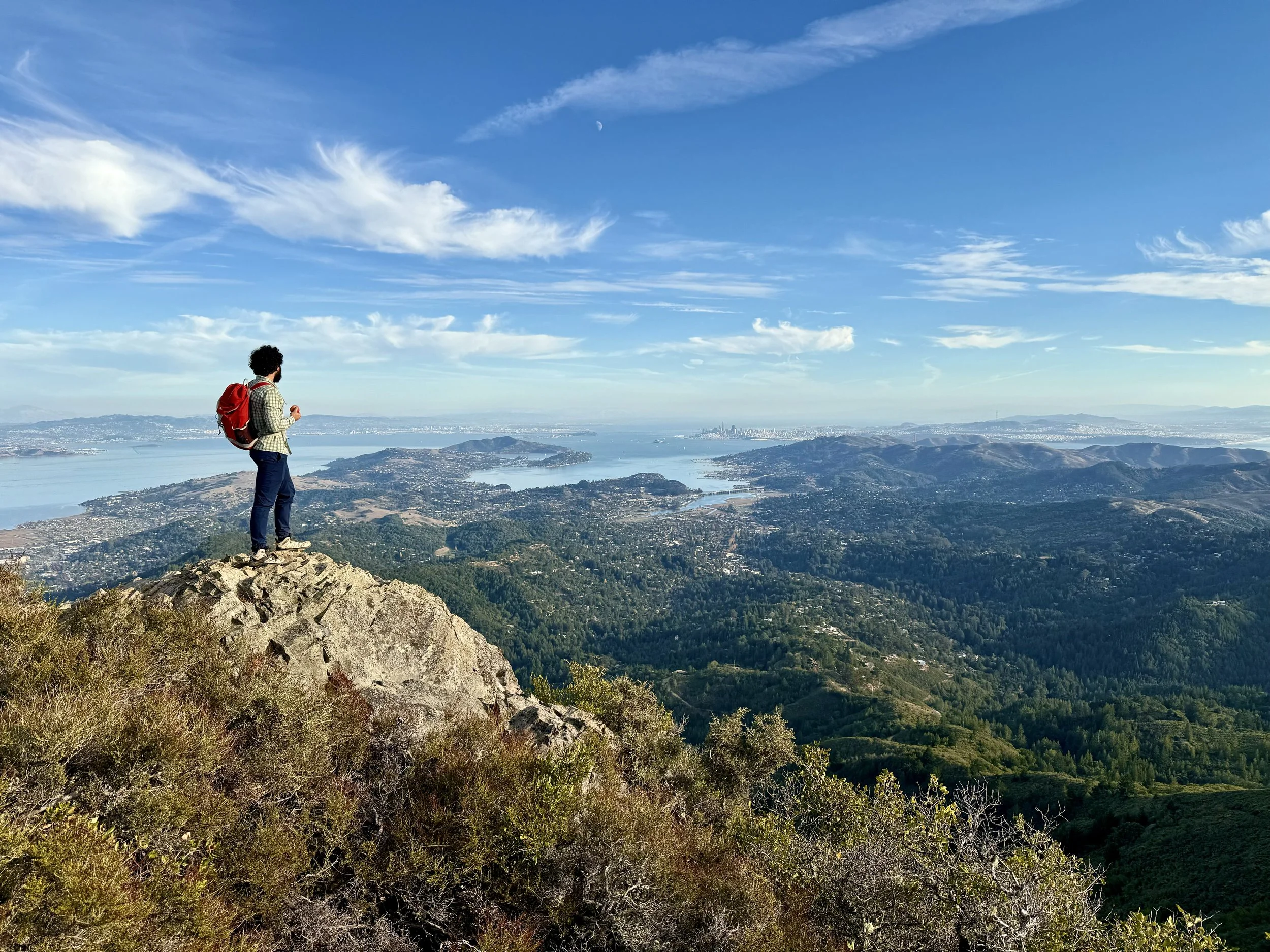

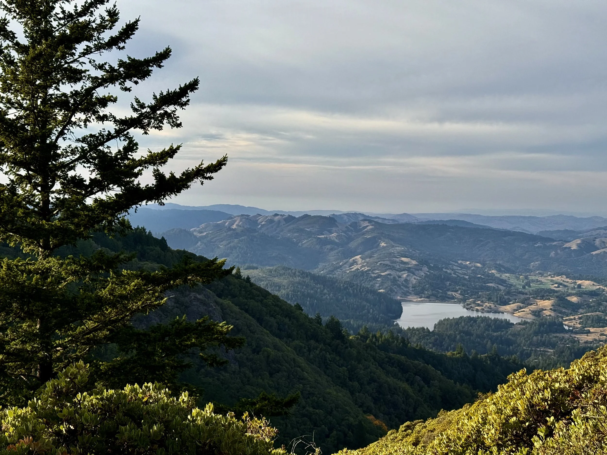
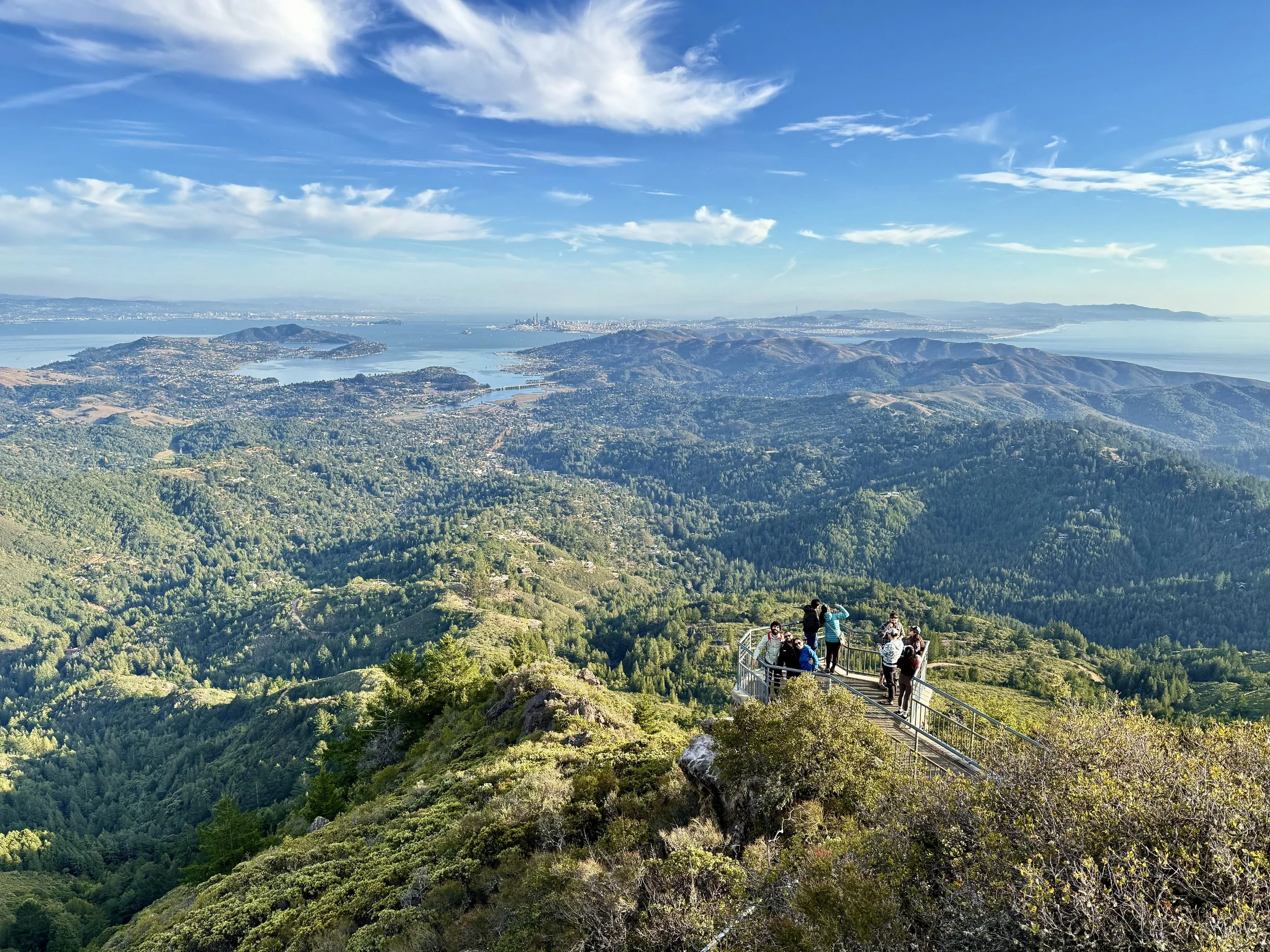
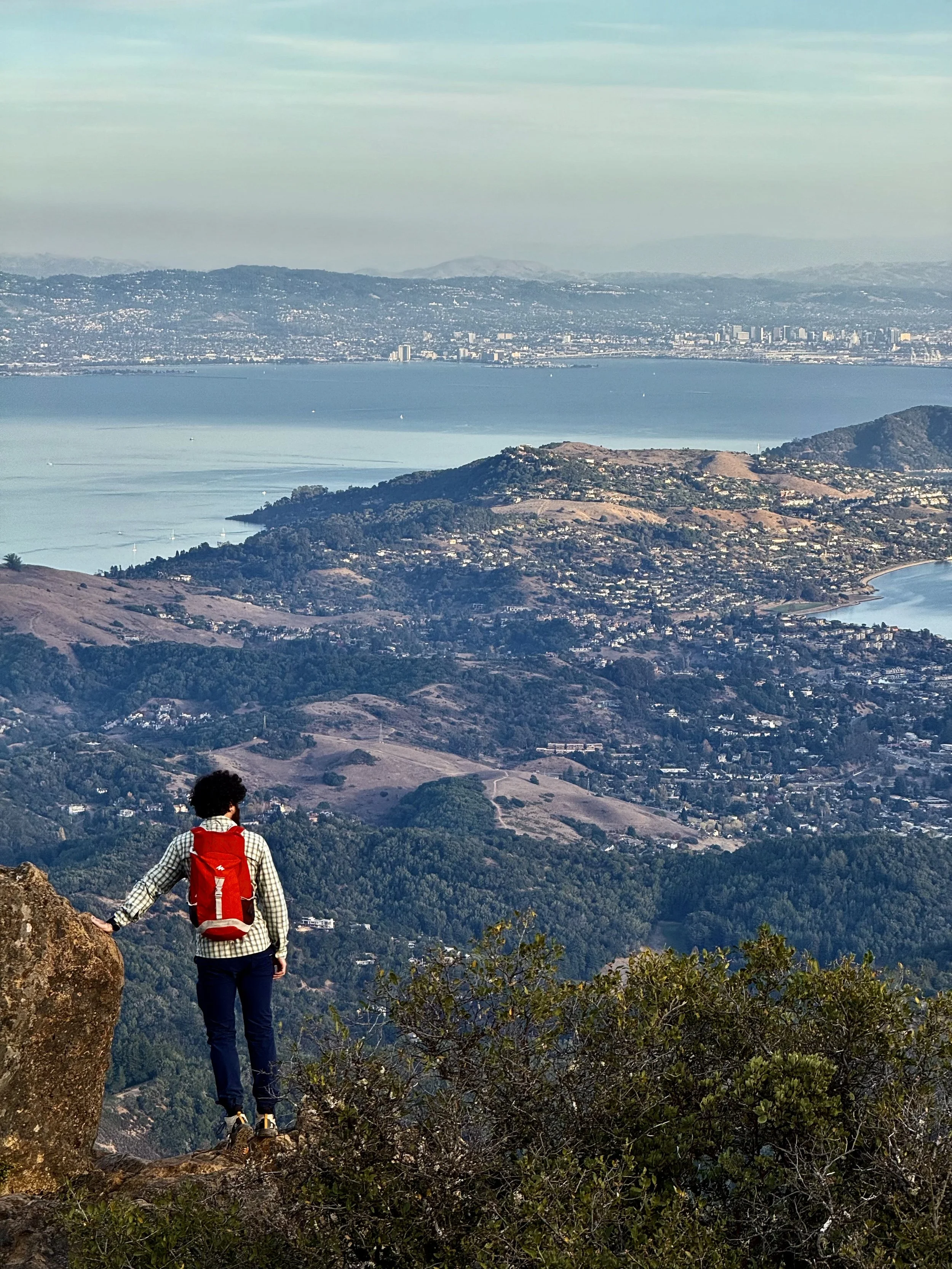

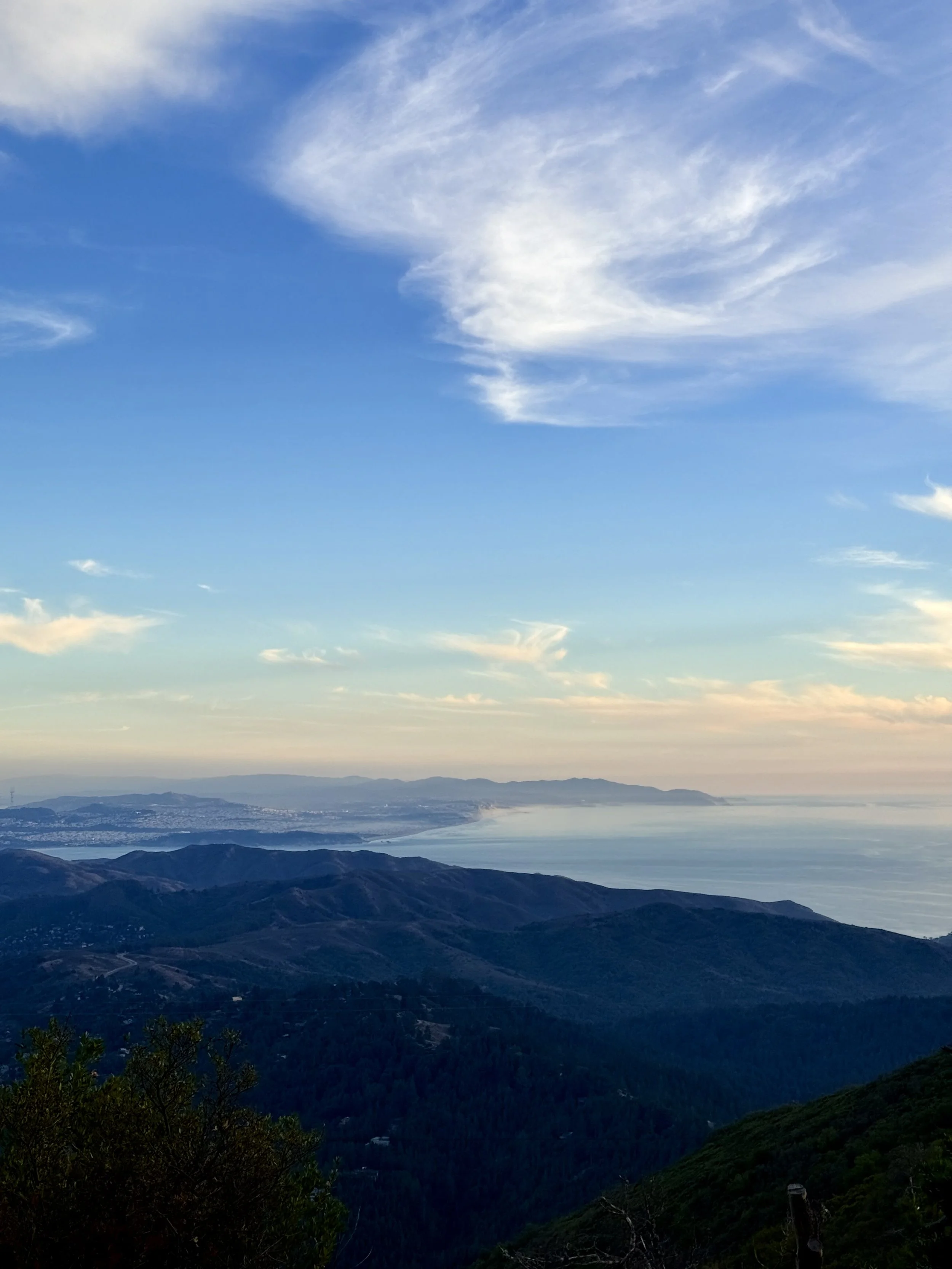
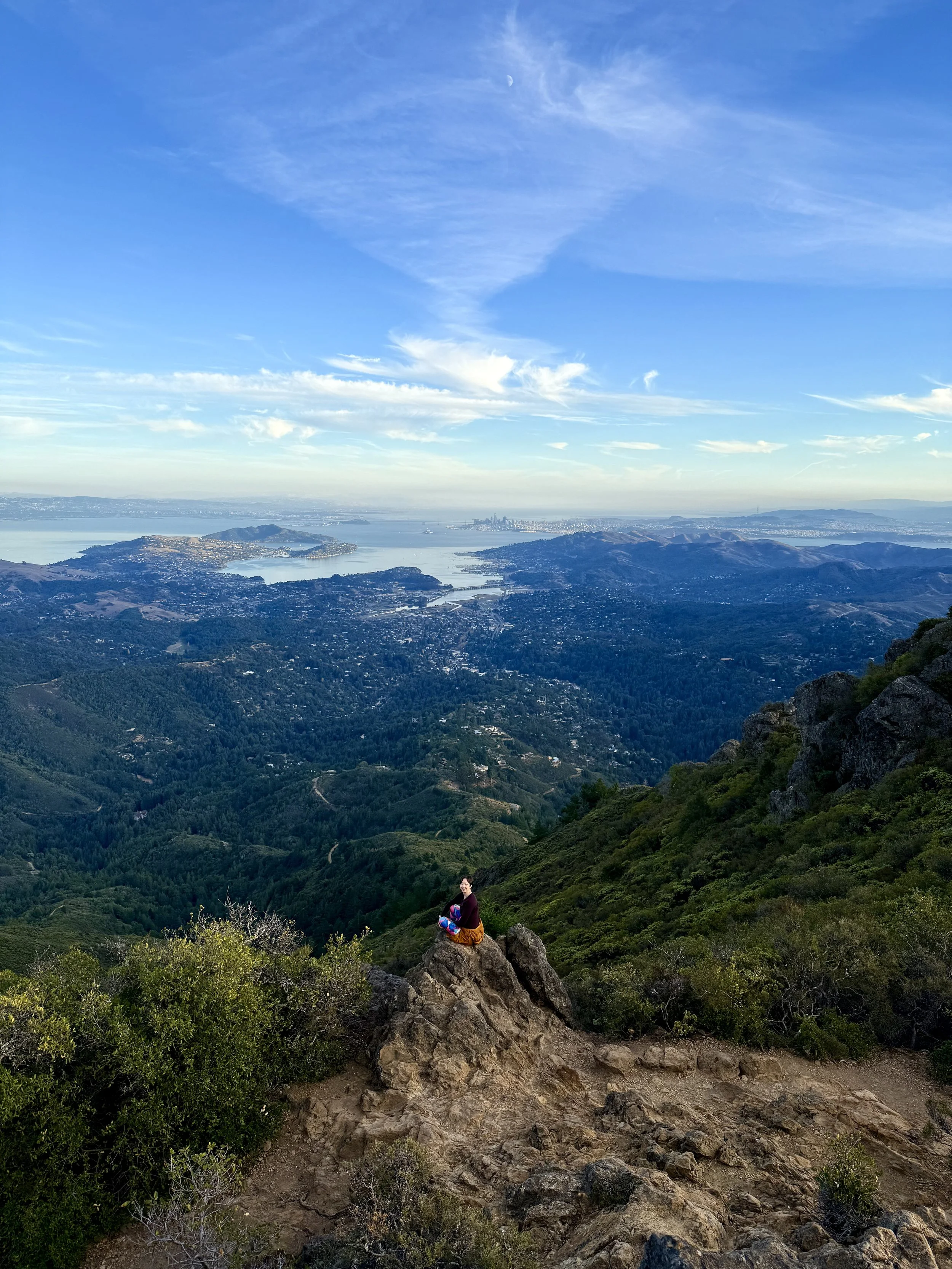
Distance from San Francisco: 1hr (25 miles) by car
What to expect: Mount Tam is just north of the Golden Gate Bridge in Marin County. With a summit that boasts stunning 360° views of the Bay Area, you can also explore the oak-dotted hillsides and redwood groves throughout the rest of the state park. At the East Peak, enjoy a paved loop path and a visit to the volunteer-run museum that tells the interesting history of the Mill Valley & Mount Tamalpais Scenic Railway.
Trail rec: Verna Dunshee Trail and Plank Trail at Mount Tam East Peak (1.2 miles, 40min; with an offshoot on Indian Fire Trail to another viewpoint, it’s more like 1.8 miles, 1.5hr)
Tip: Head to Sol Food in San Rafael after your visit for some delicious Puerto Rican dishes
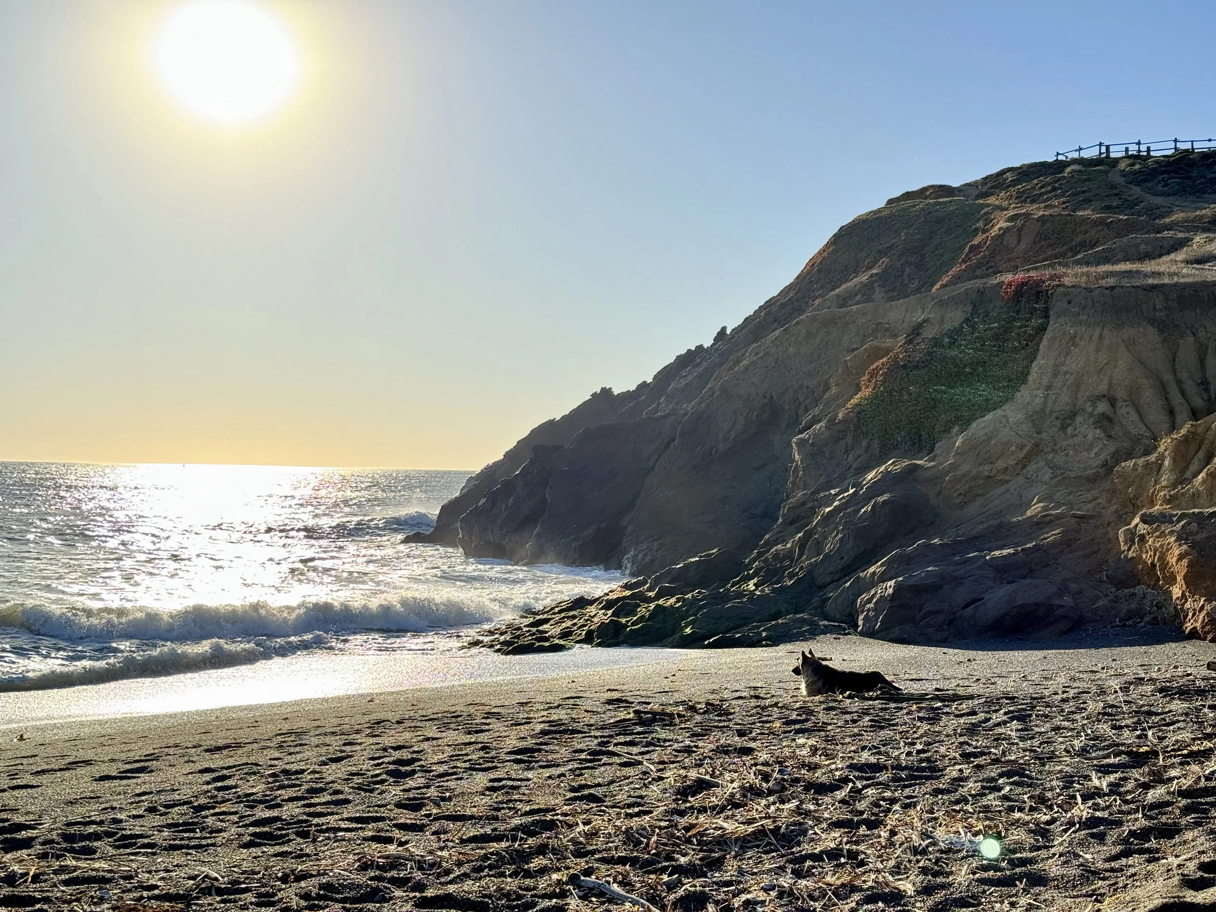
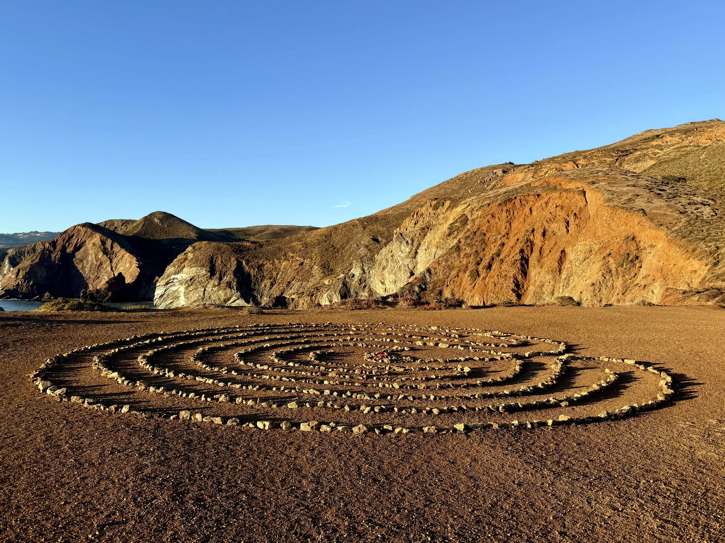
Golden Gate National Recreation Area
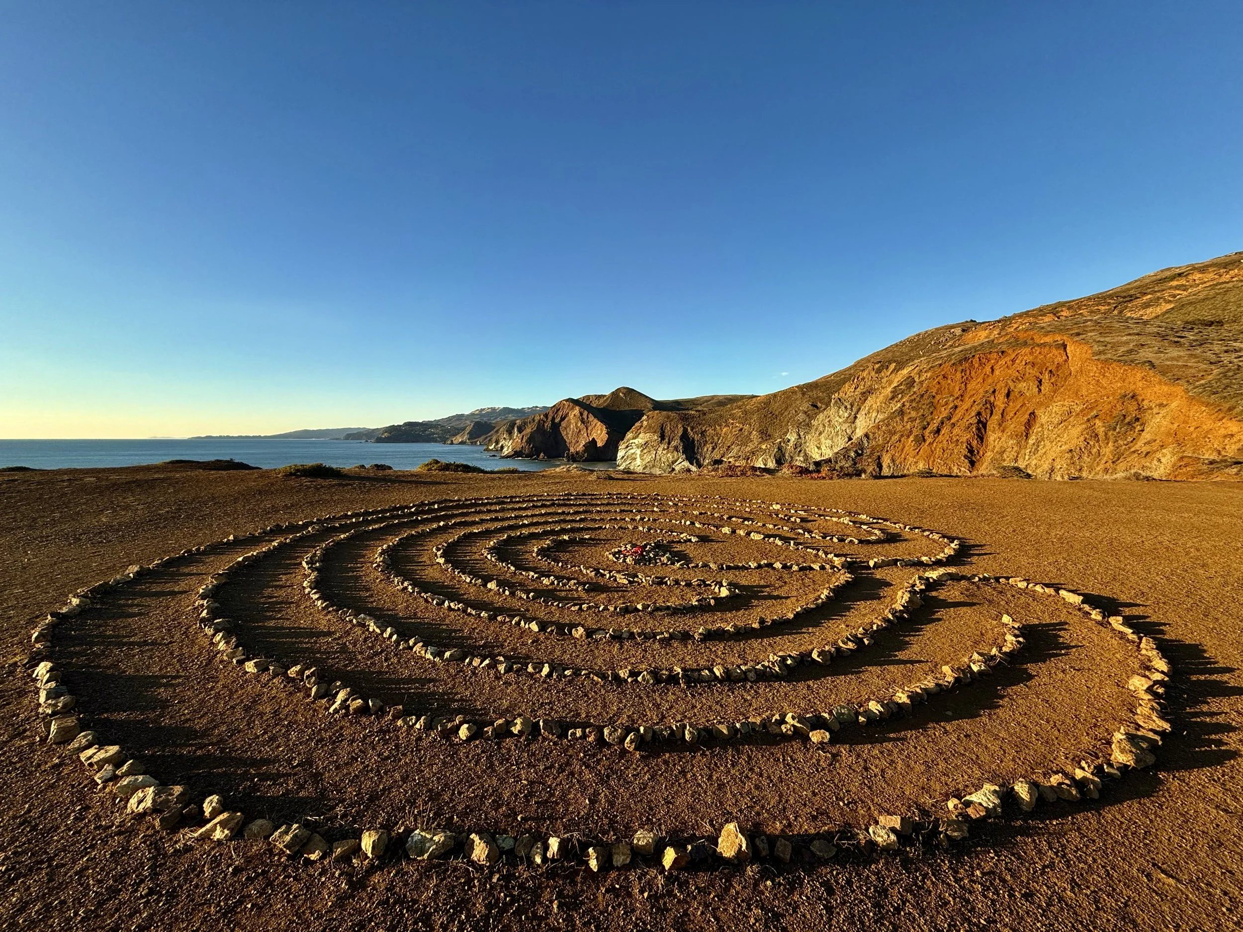
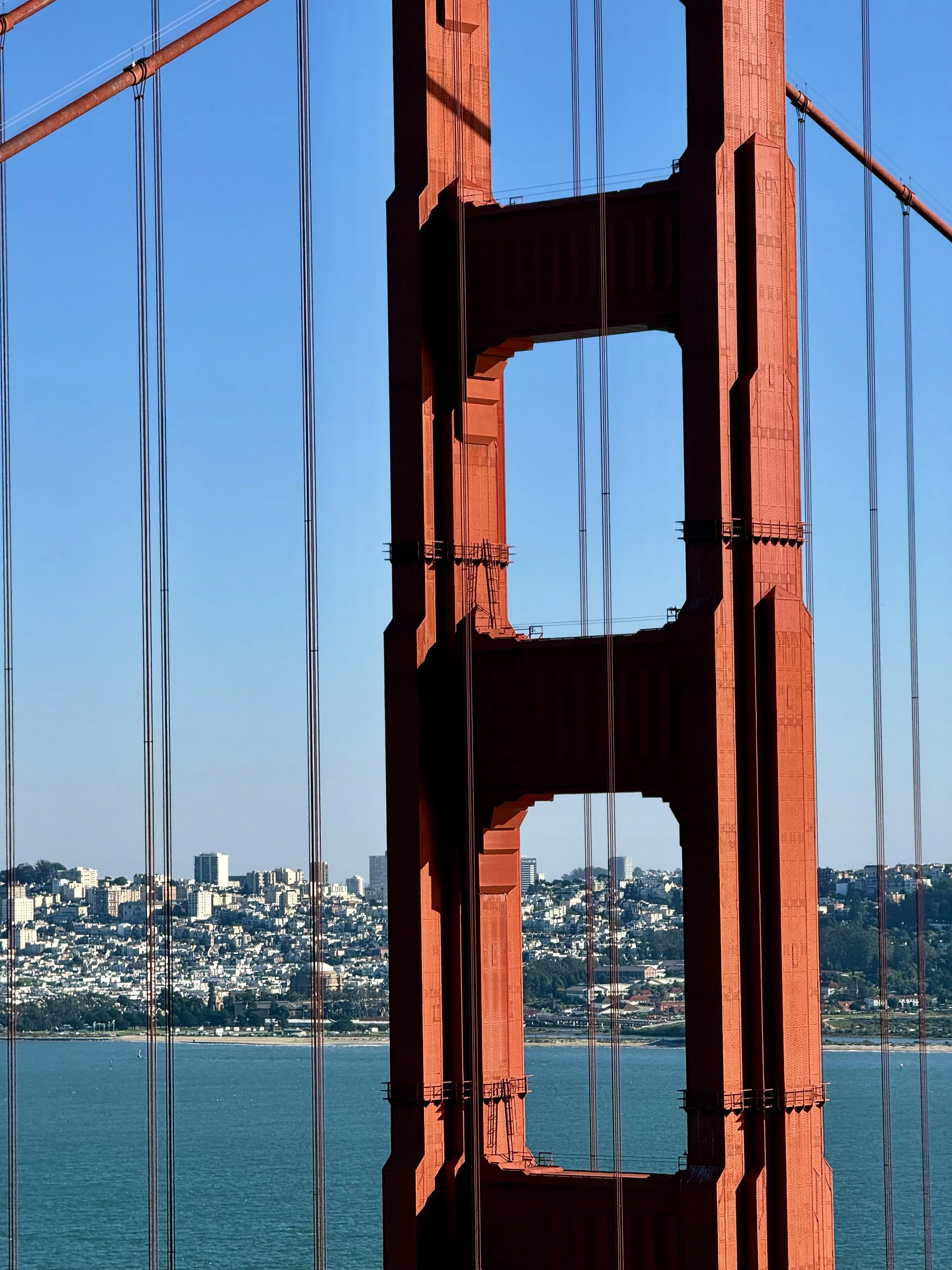
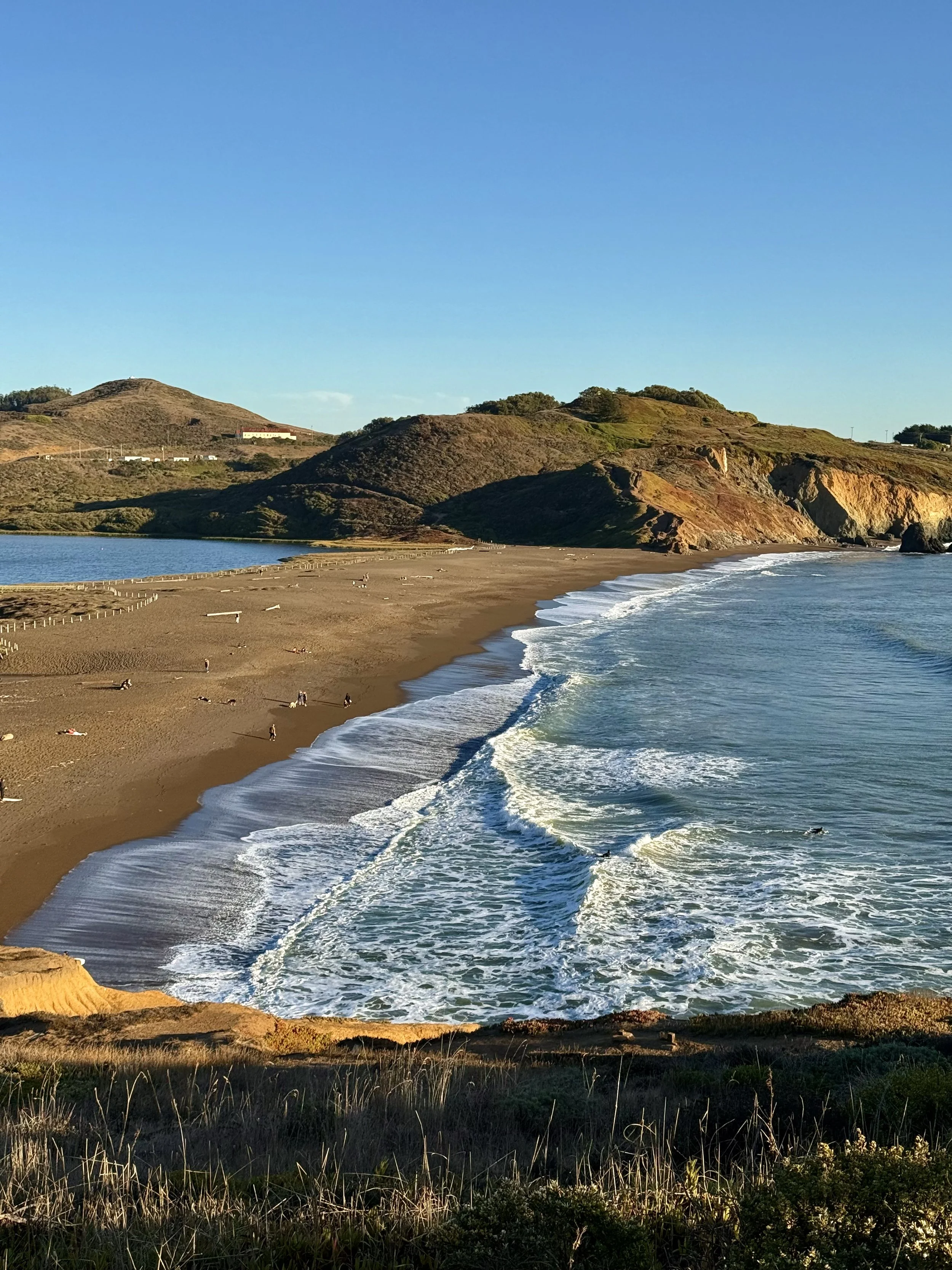
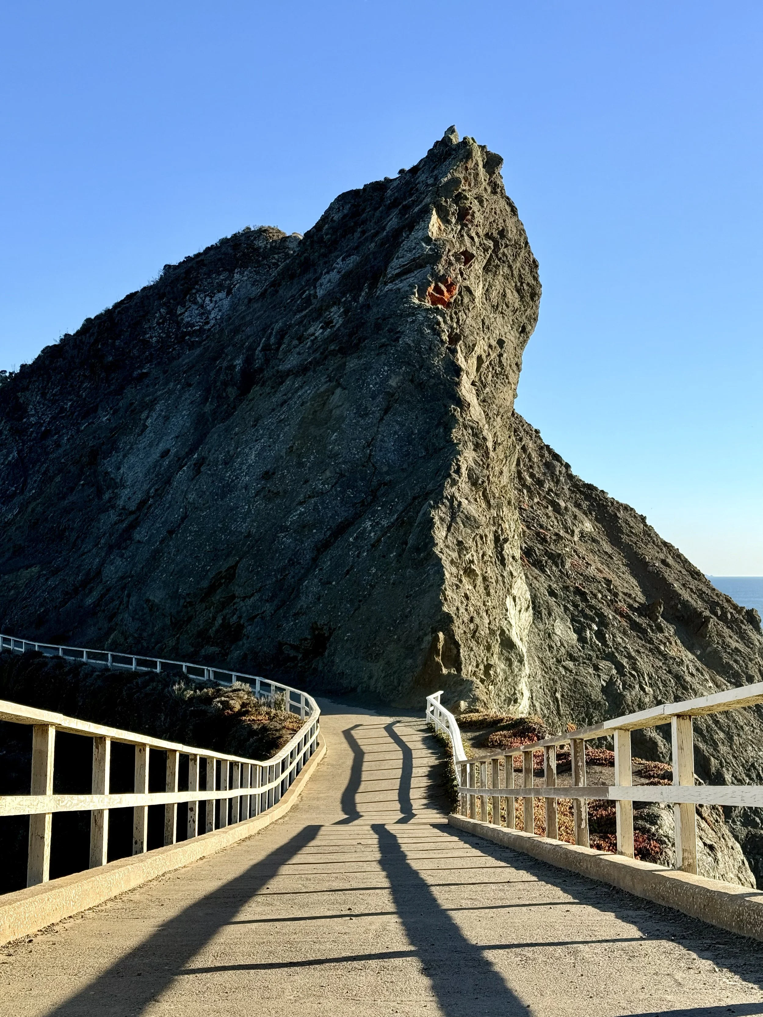
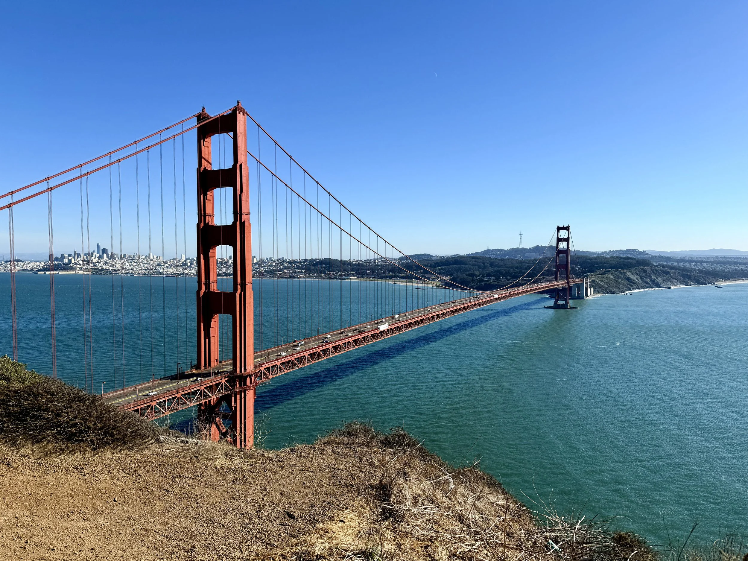
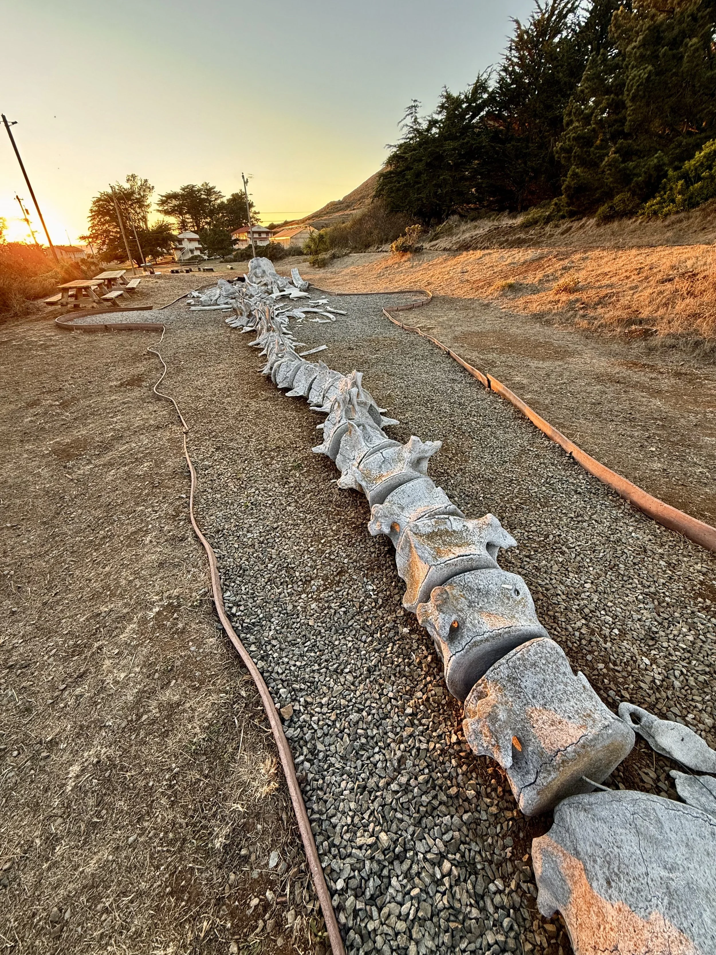
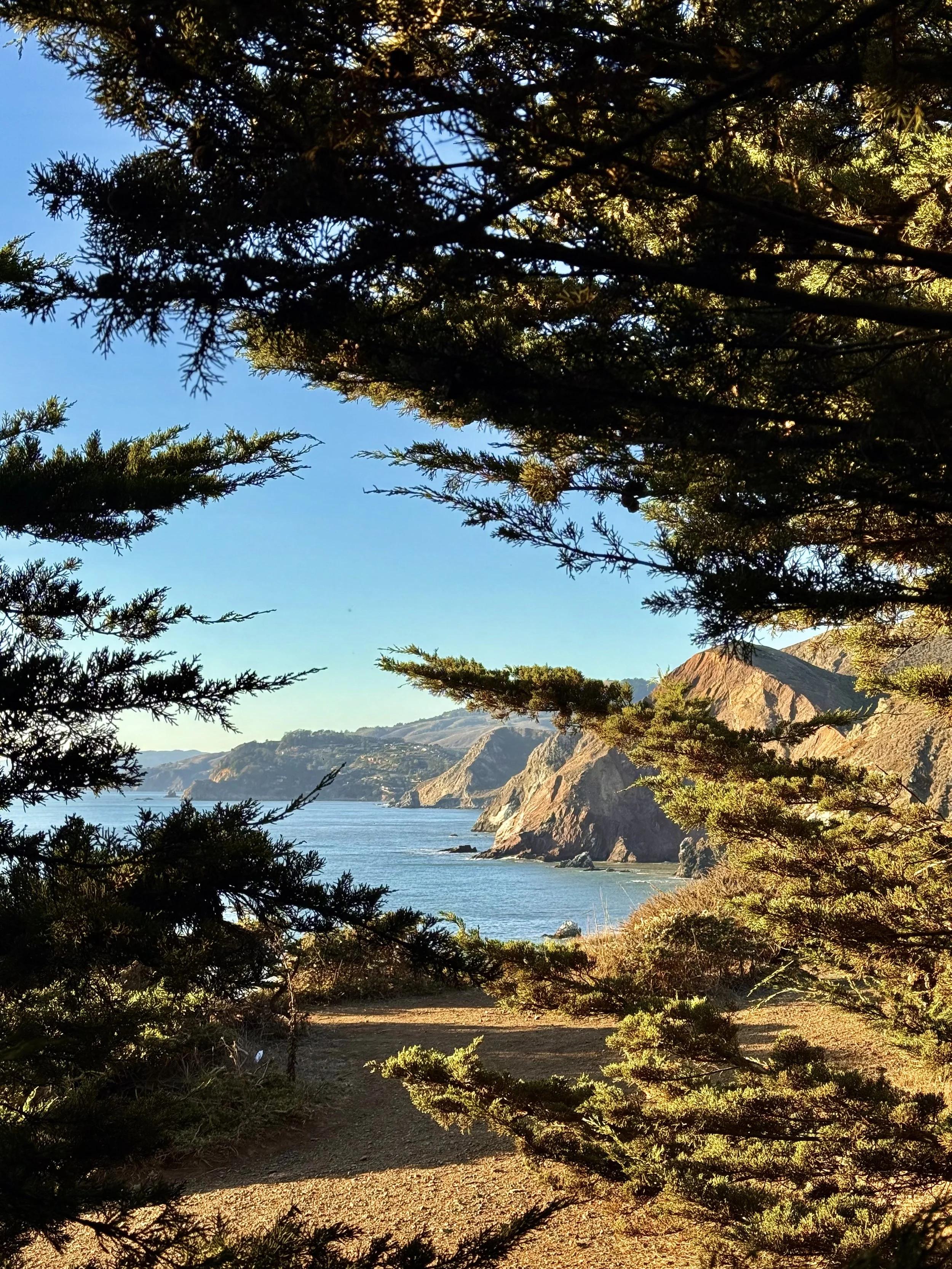
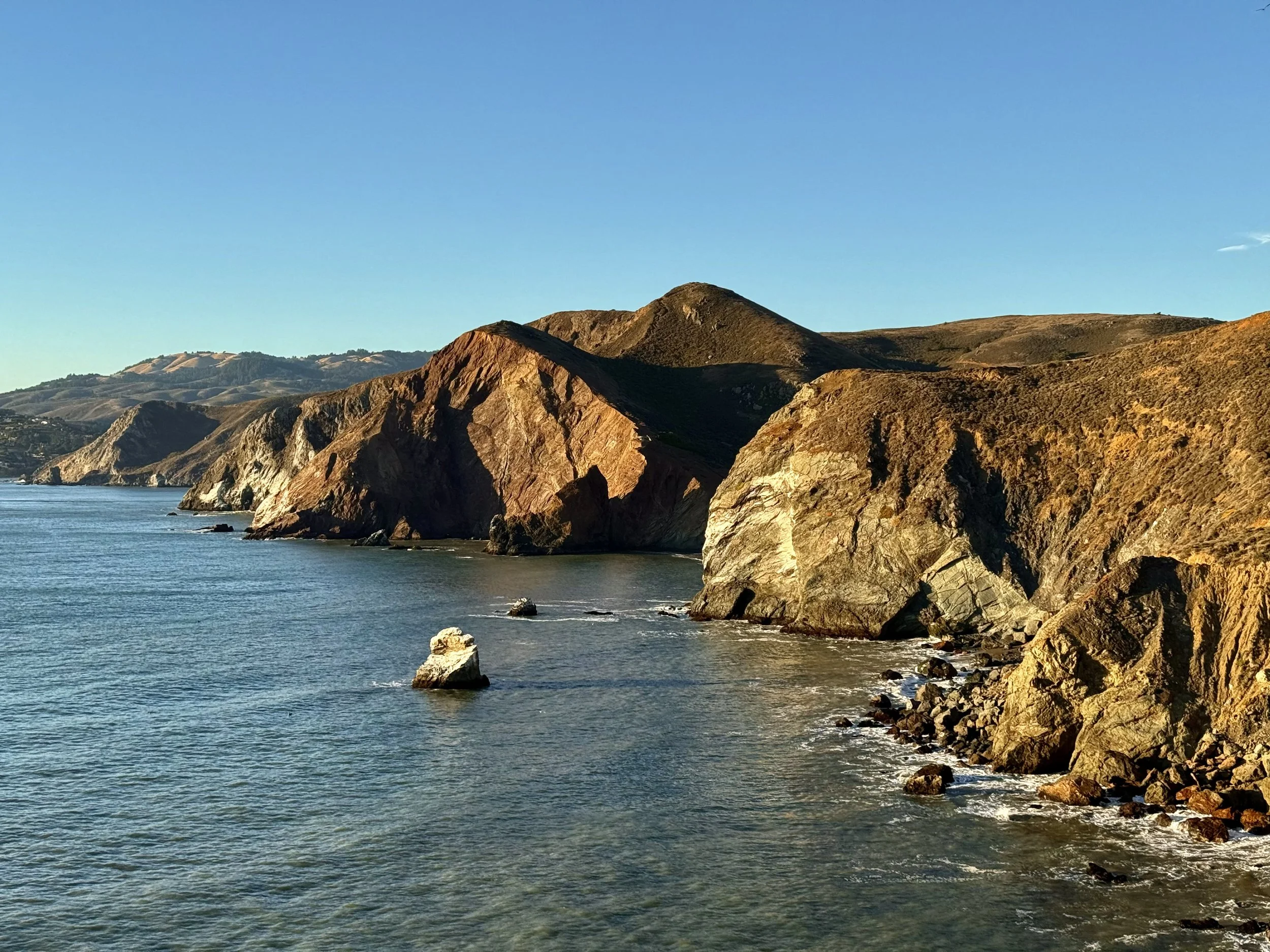
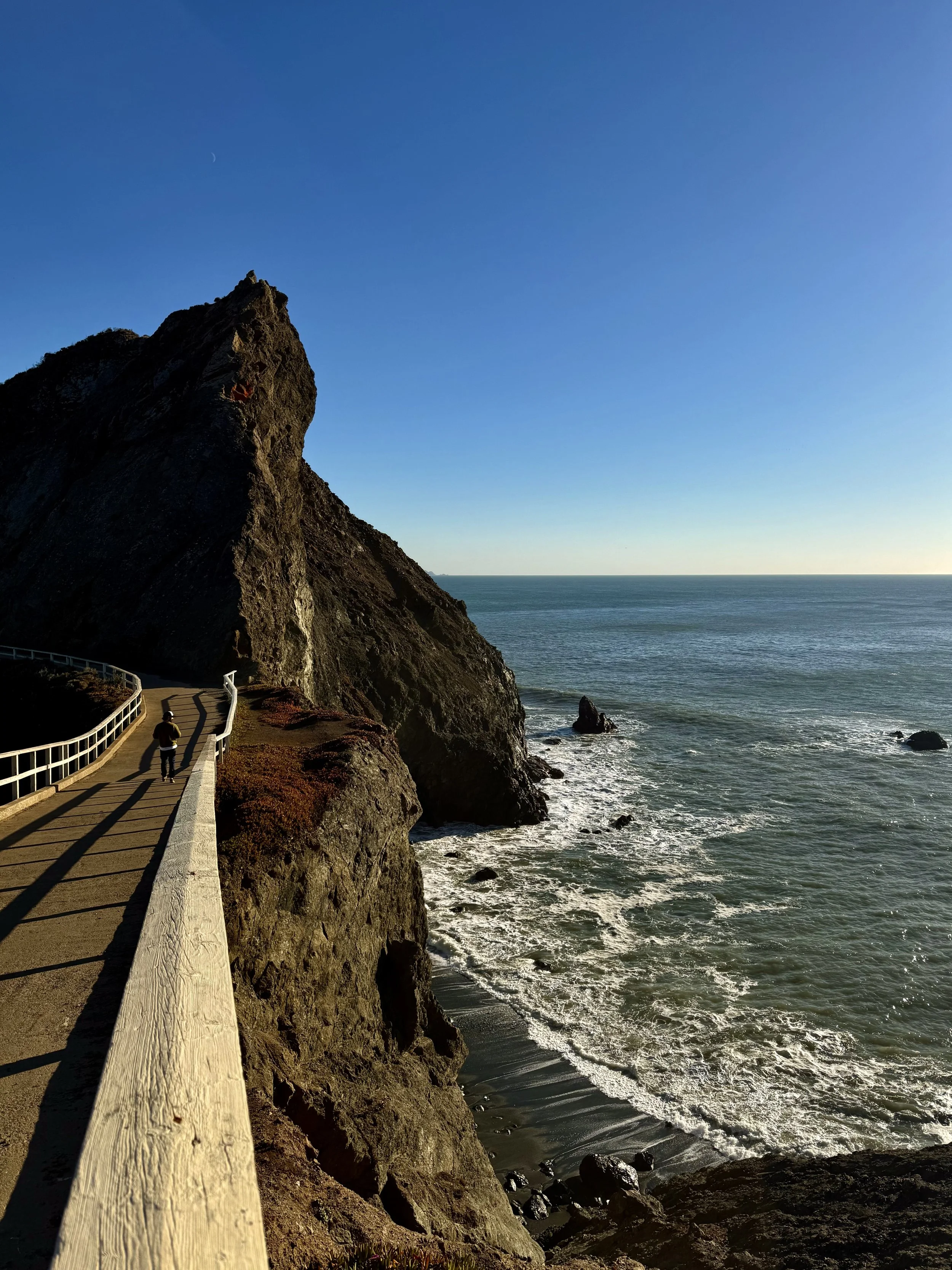
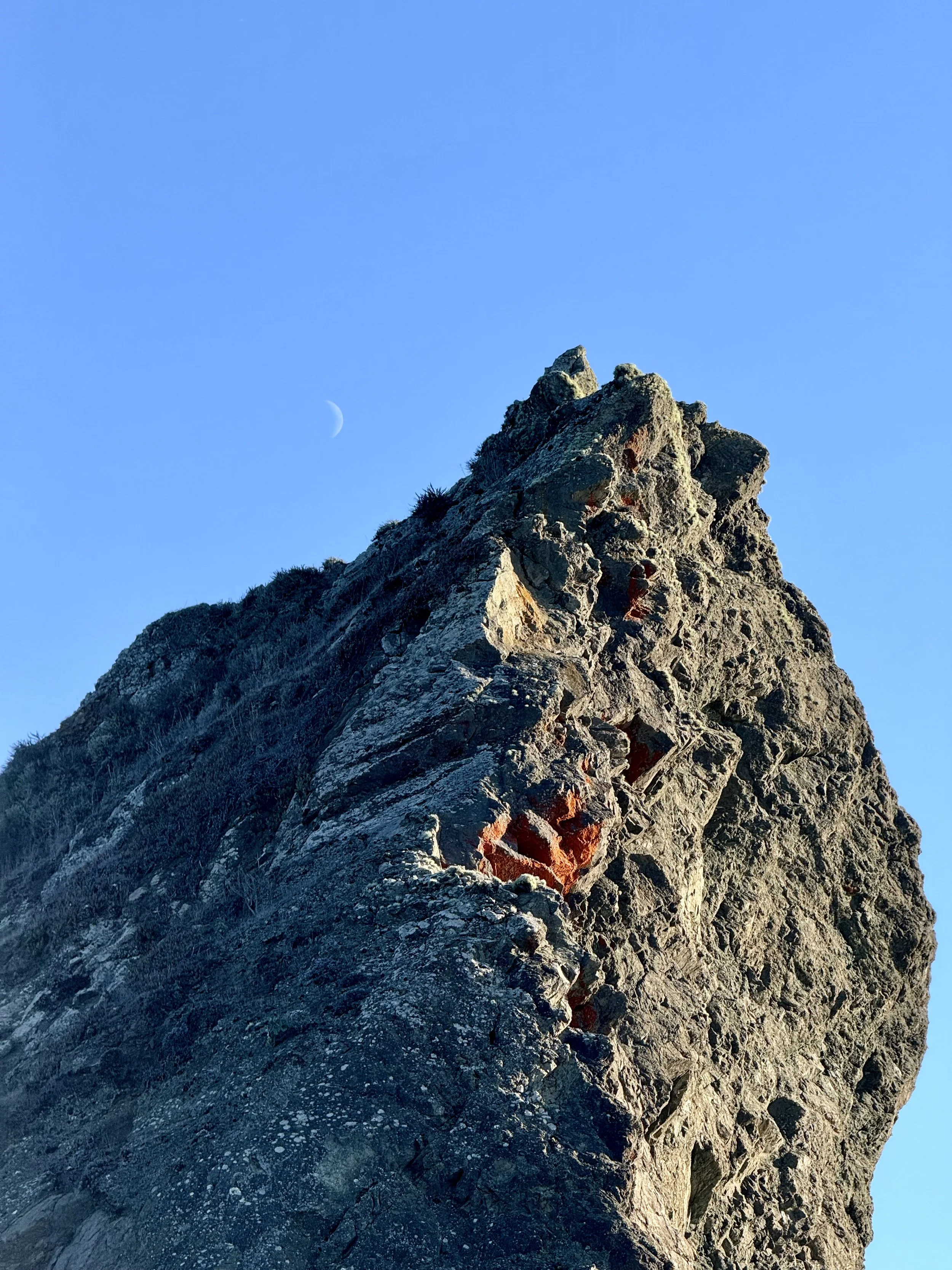
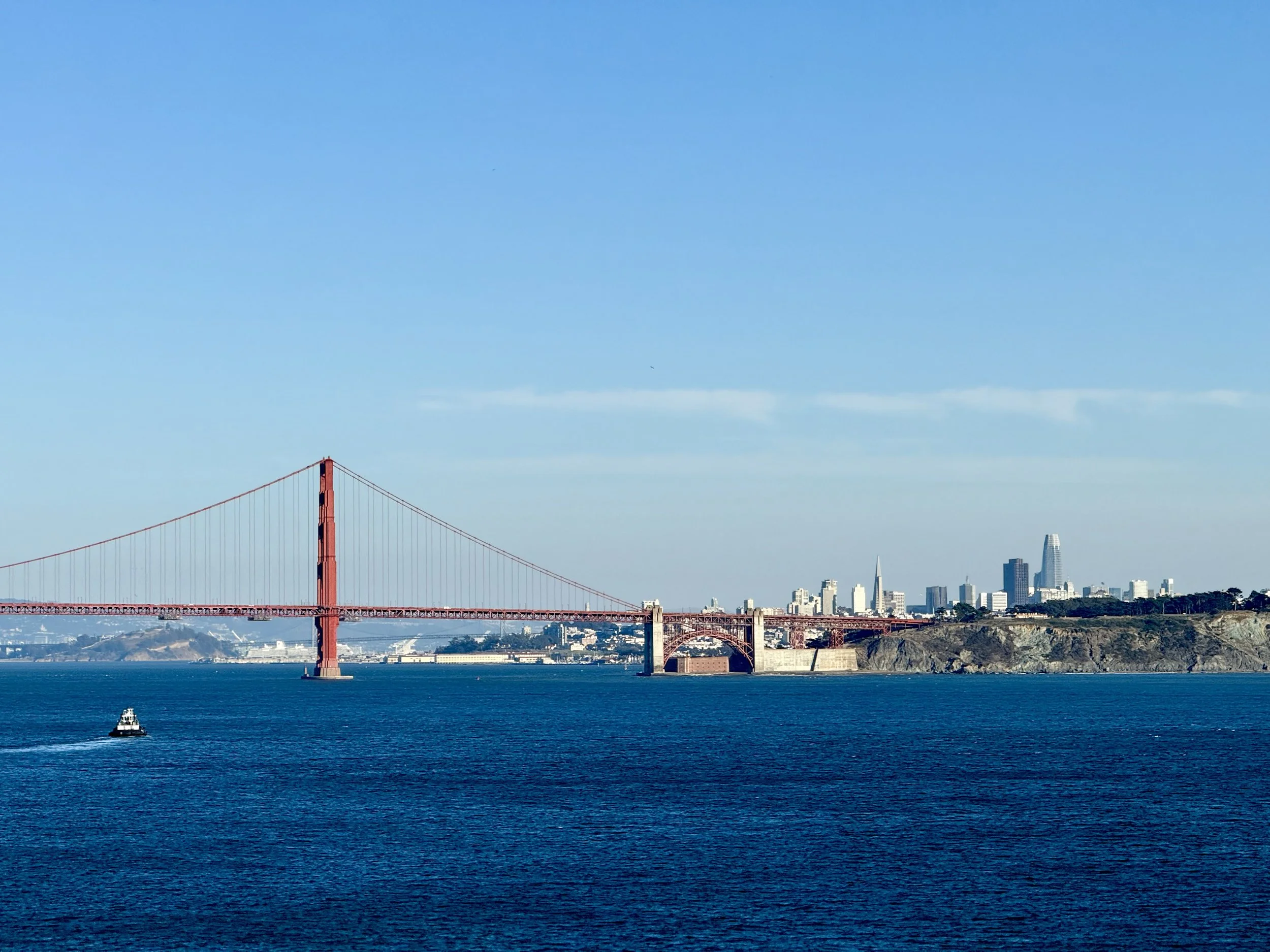
Distance from San Francisco: 35 minutes (11 miles) by car
What to expect: One of the closest day trip options from the city awaits you just across the Golden Gate Bridge. This area has rolling hills, iconic landmarks, and secluded beaches all rolled up into one. Pack a picnic and take in the Bridge at one of the several viewpoints along Conzelman Road, explore the steep bluffs and coves of Rodeo Beach that lead to a labyrinth, or find the Blue Whale Skeleton within an old World War II military base.
Trail recs: Battery Spencer Trail (0.4 mile, 10min); Tennessee Point Trail (~1 mile, 30min): Point Bonita Lighthouse (1 mile, 30min)
Tip: Combine with a visit to Sausalito, known for its Mediterranean-style houses and vibrant art scene
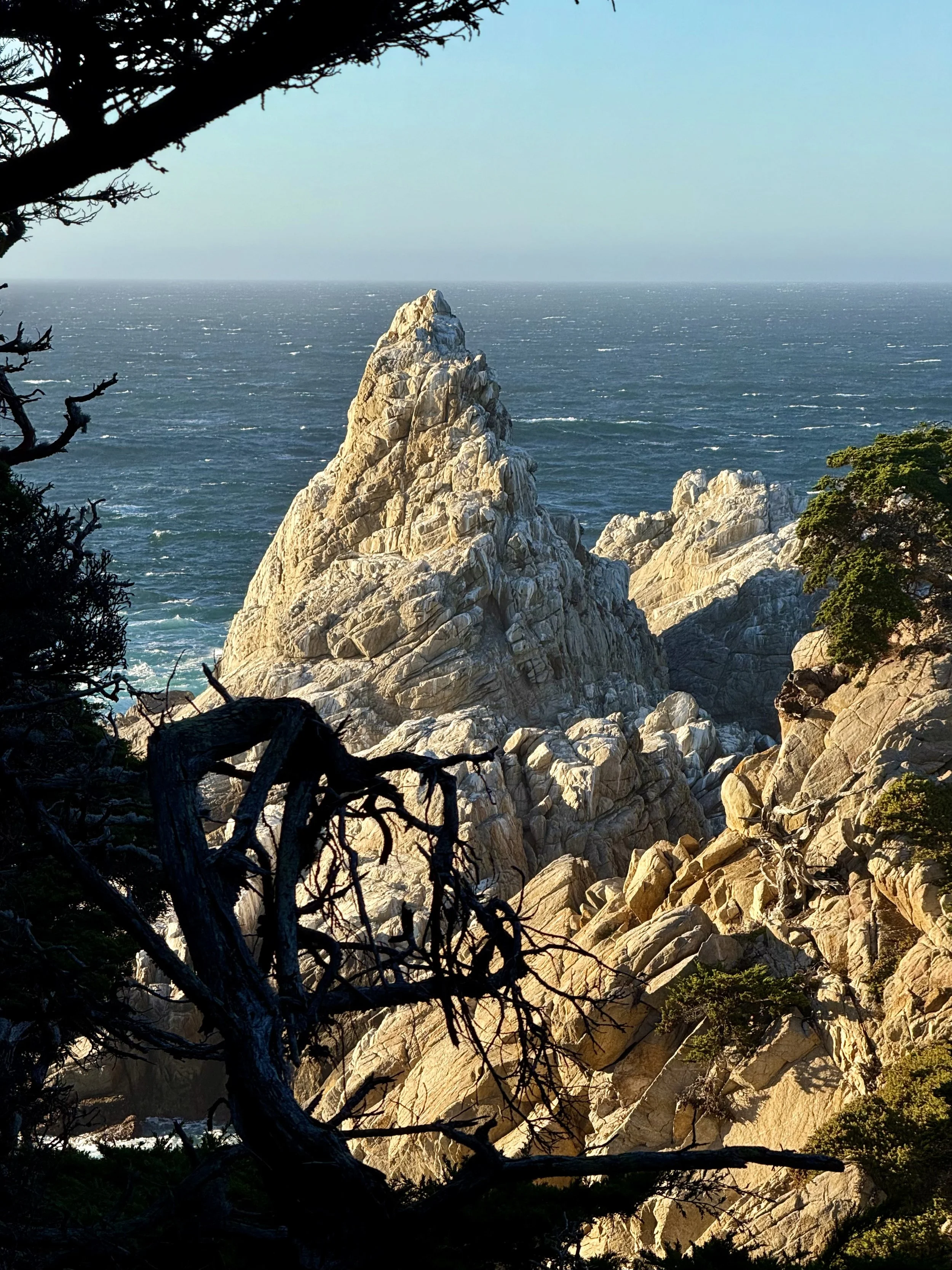
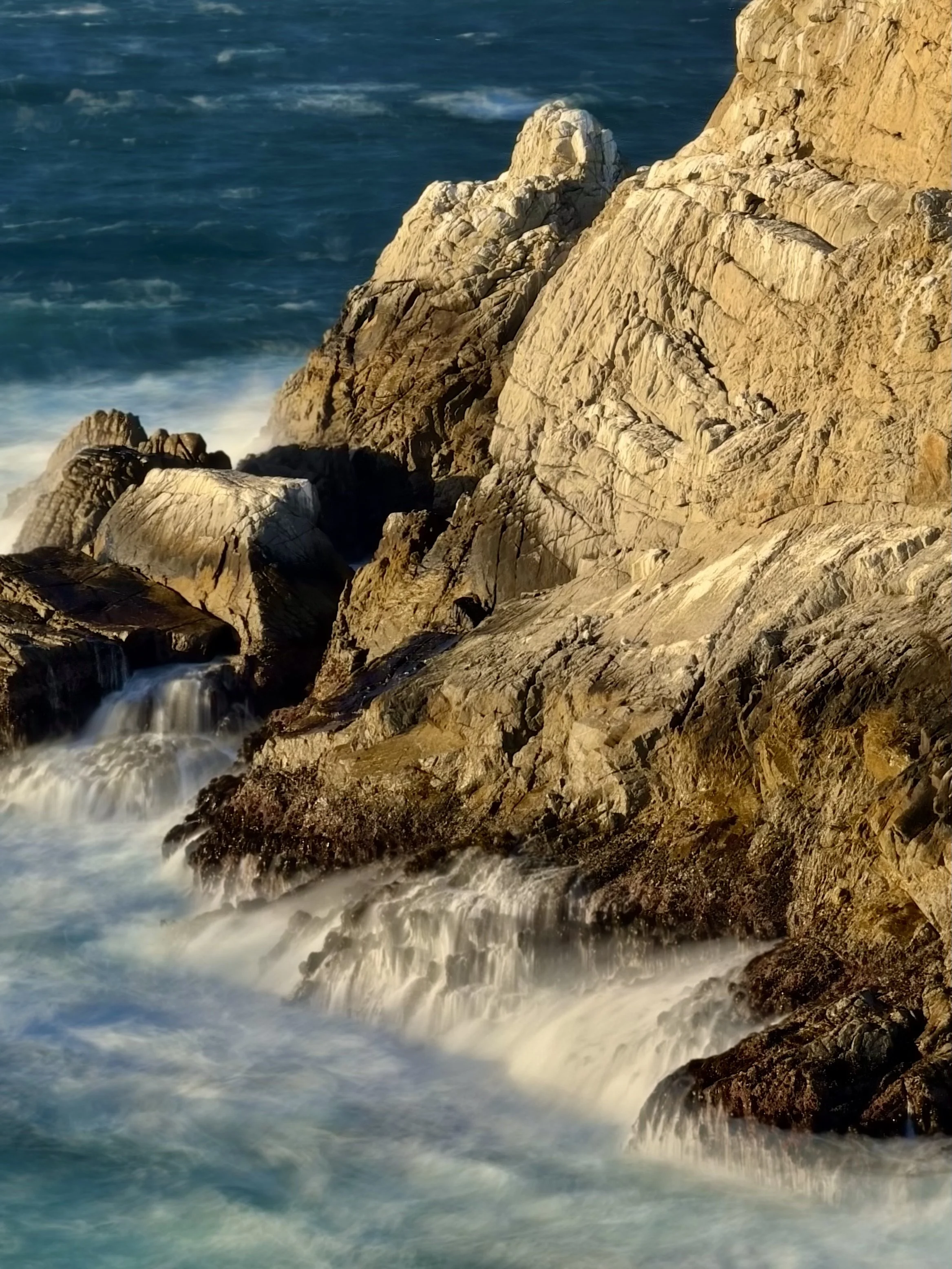
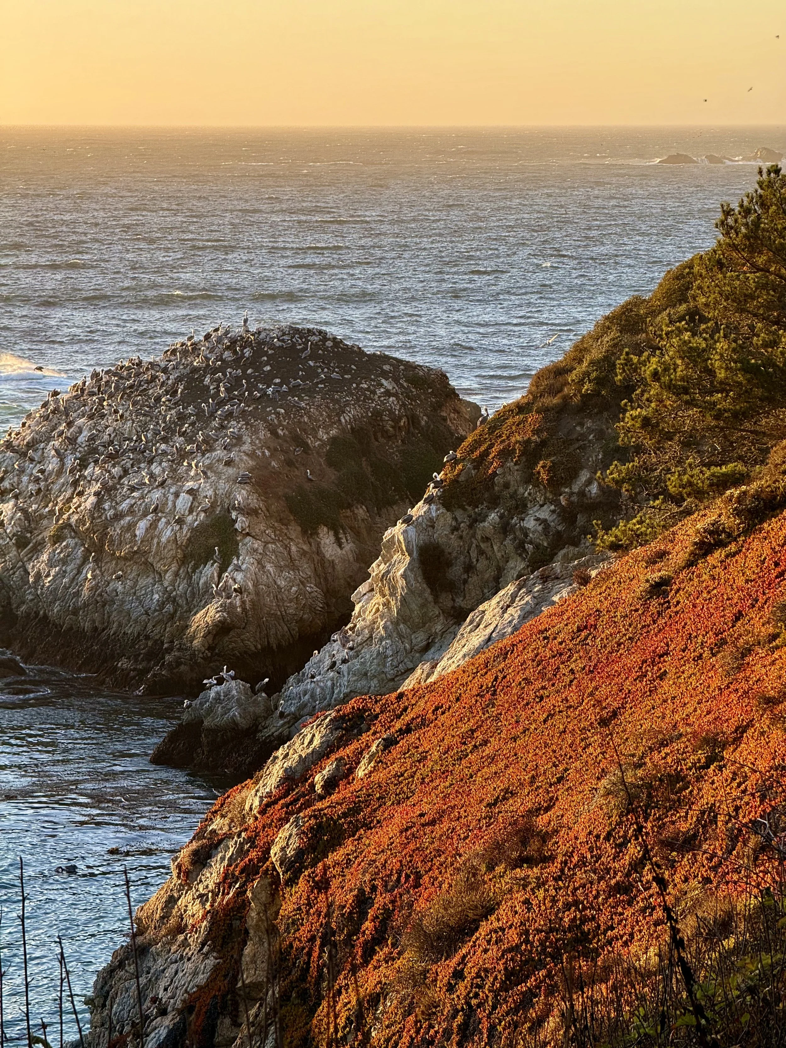
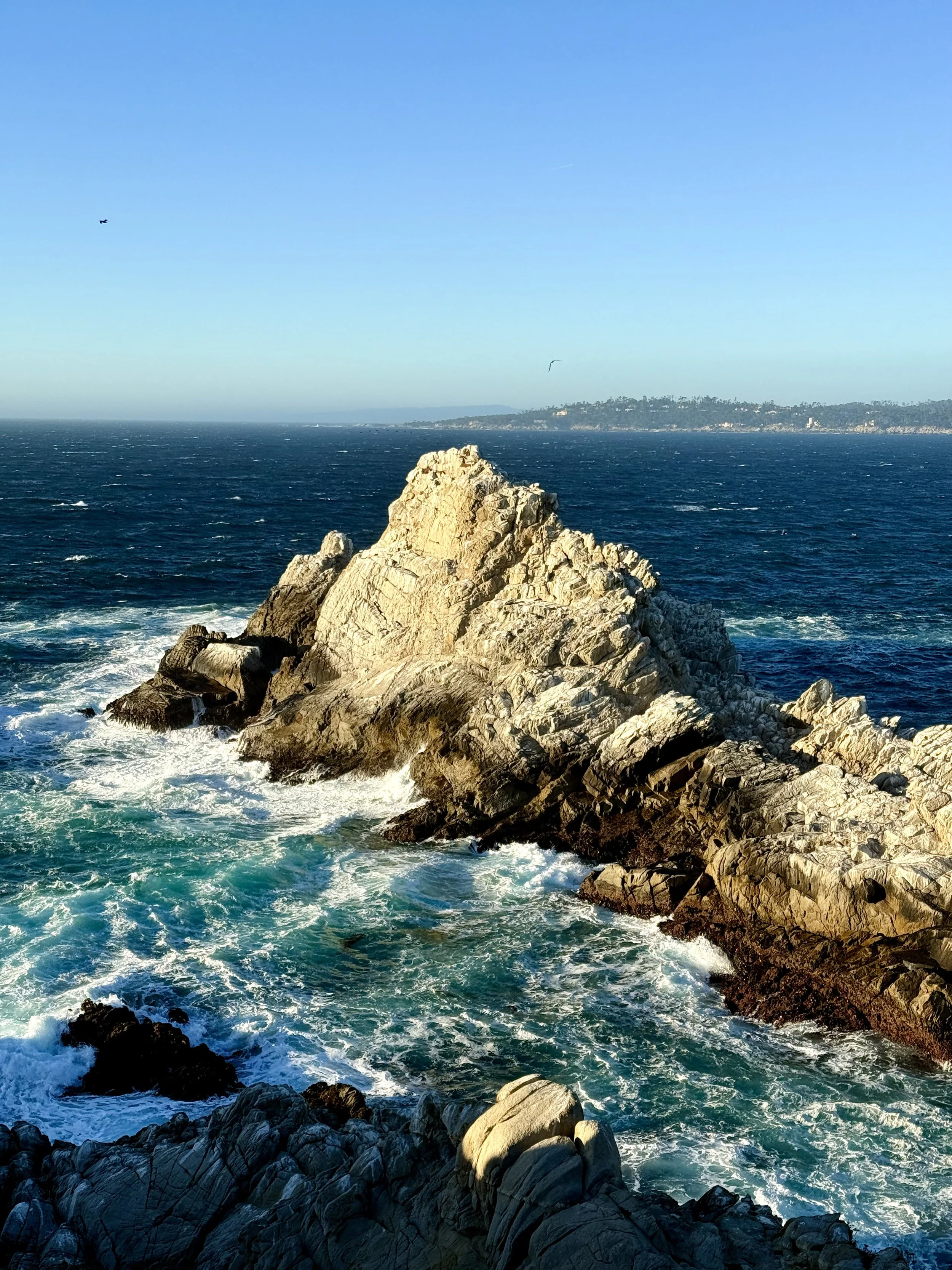
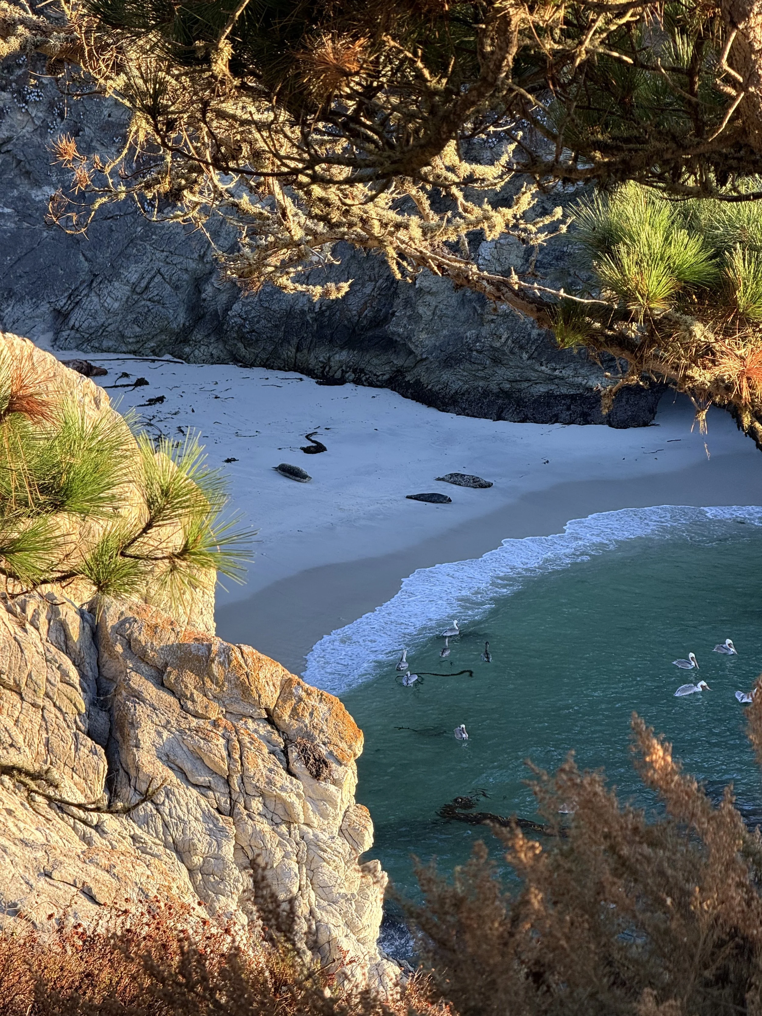
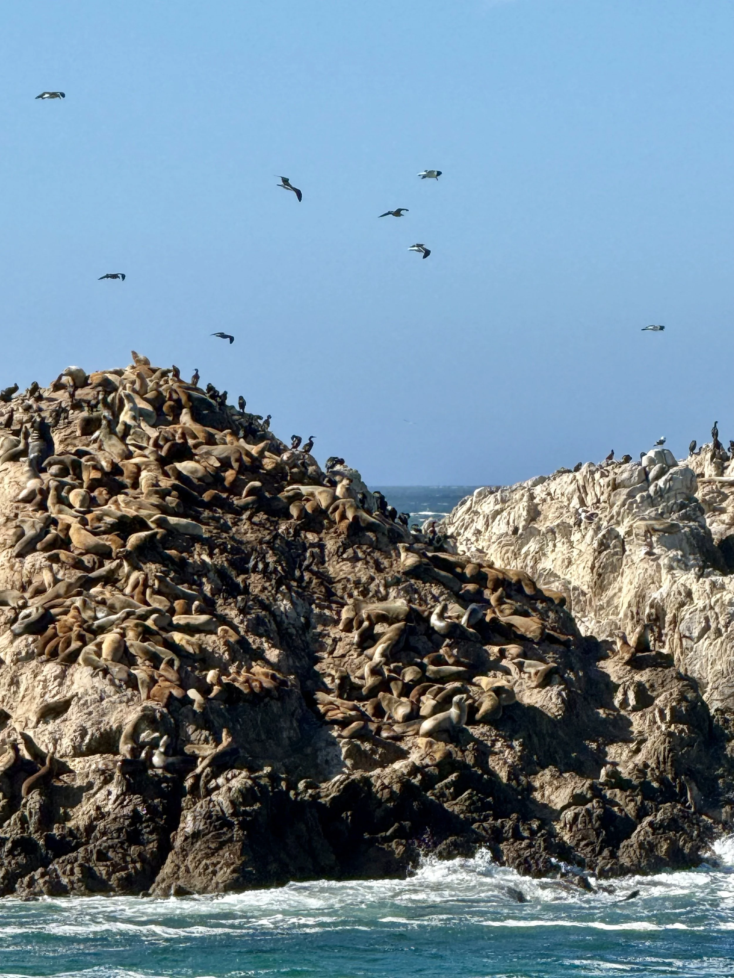
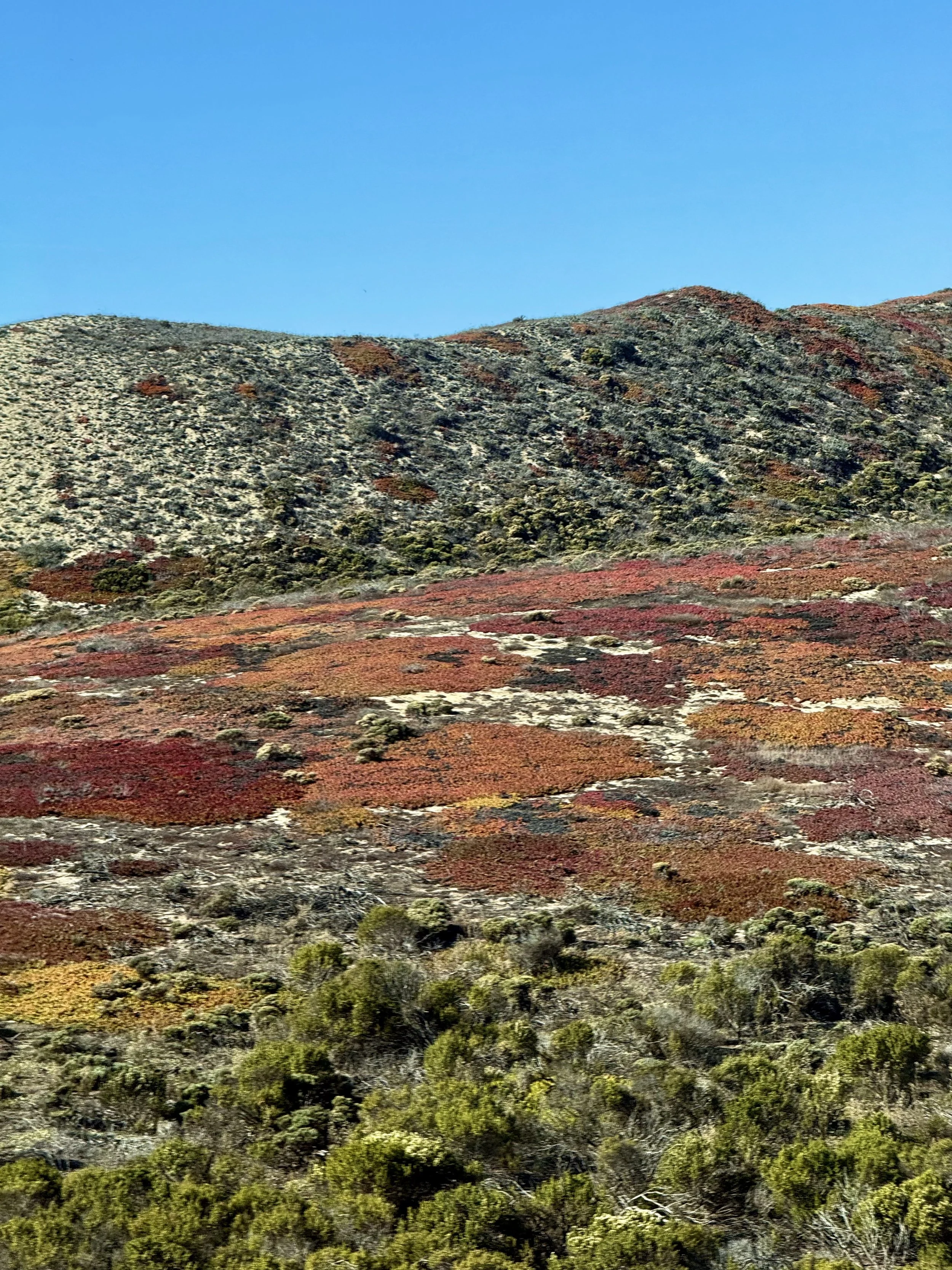
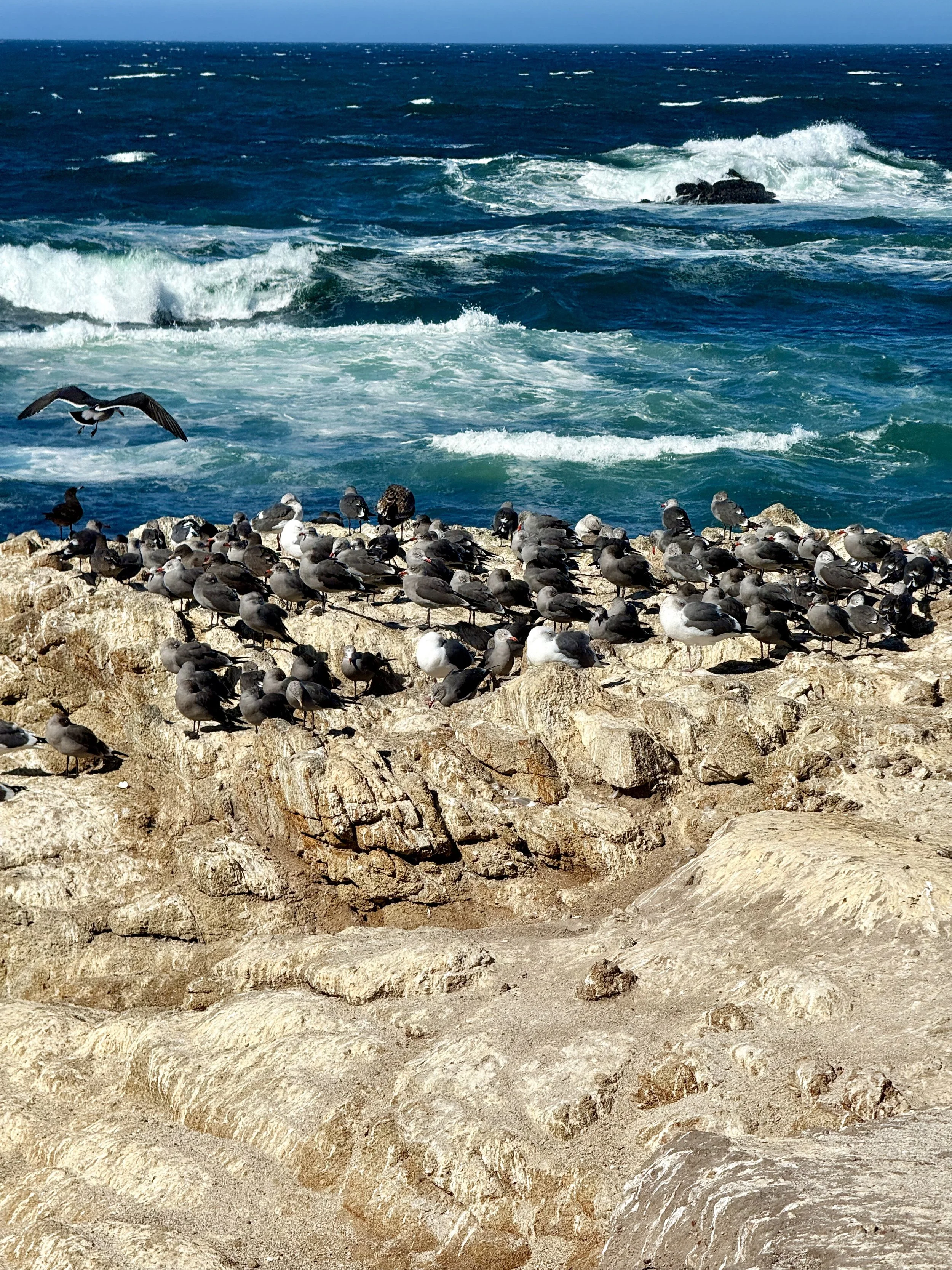
17-Mile Drive, Monterey Peninsula
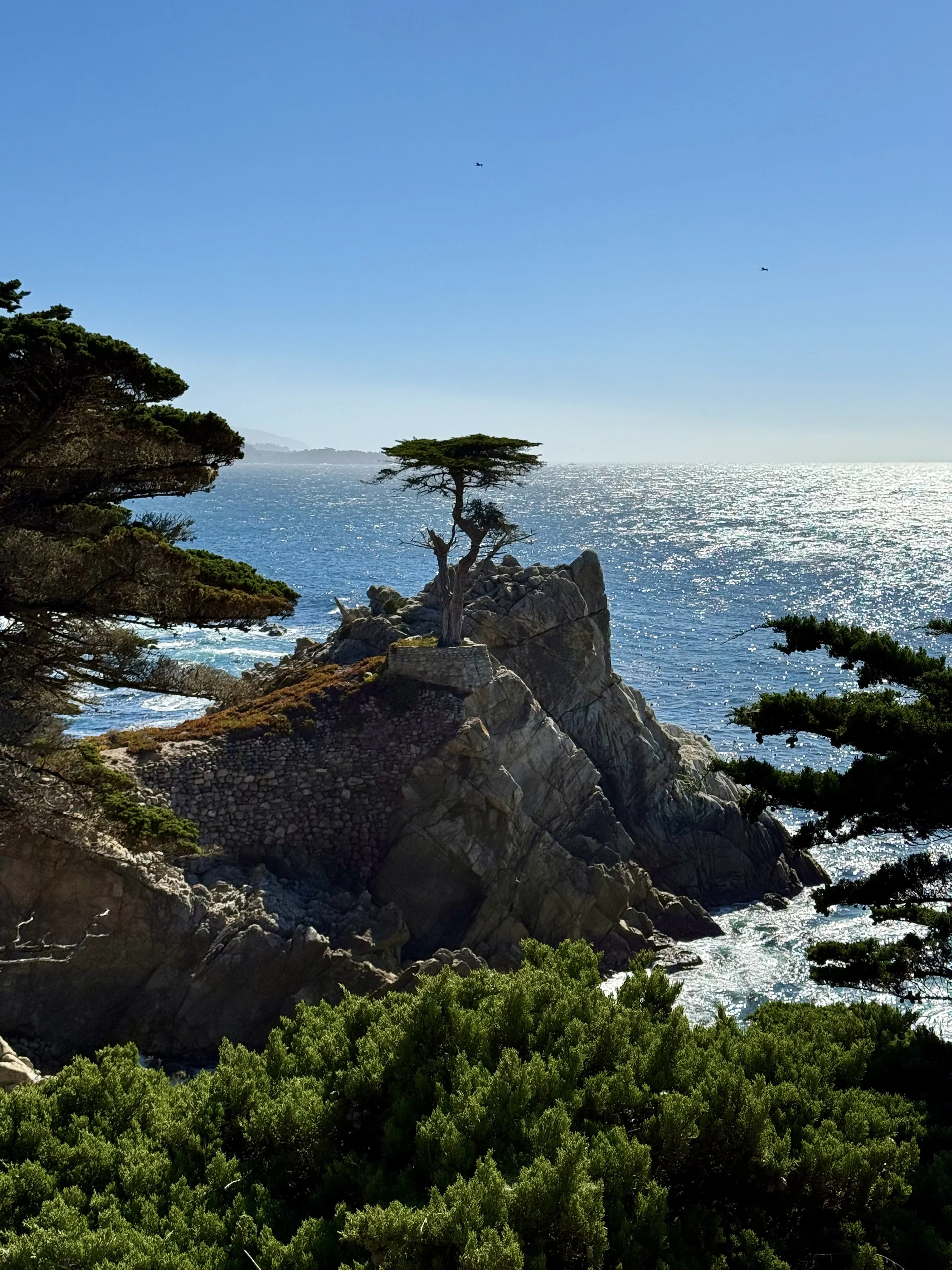
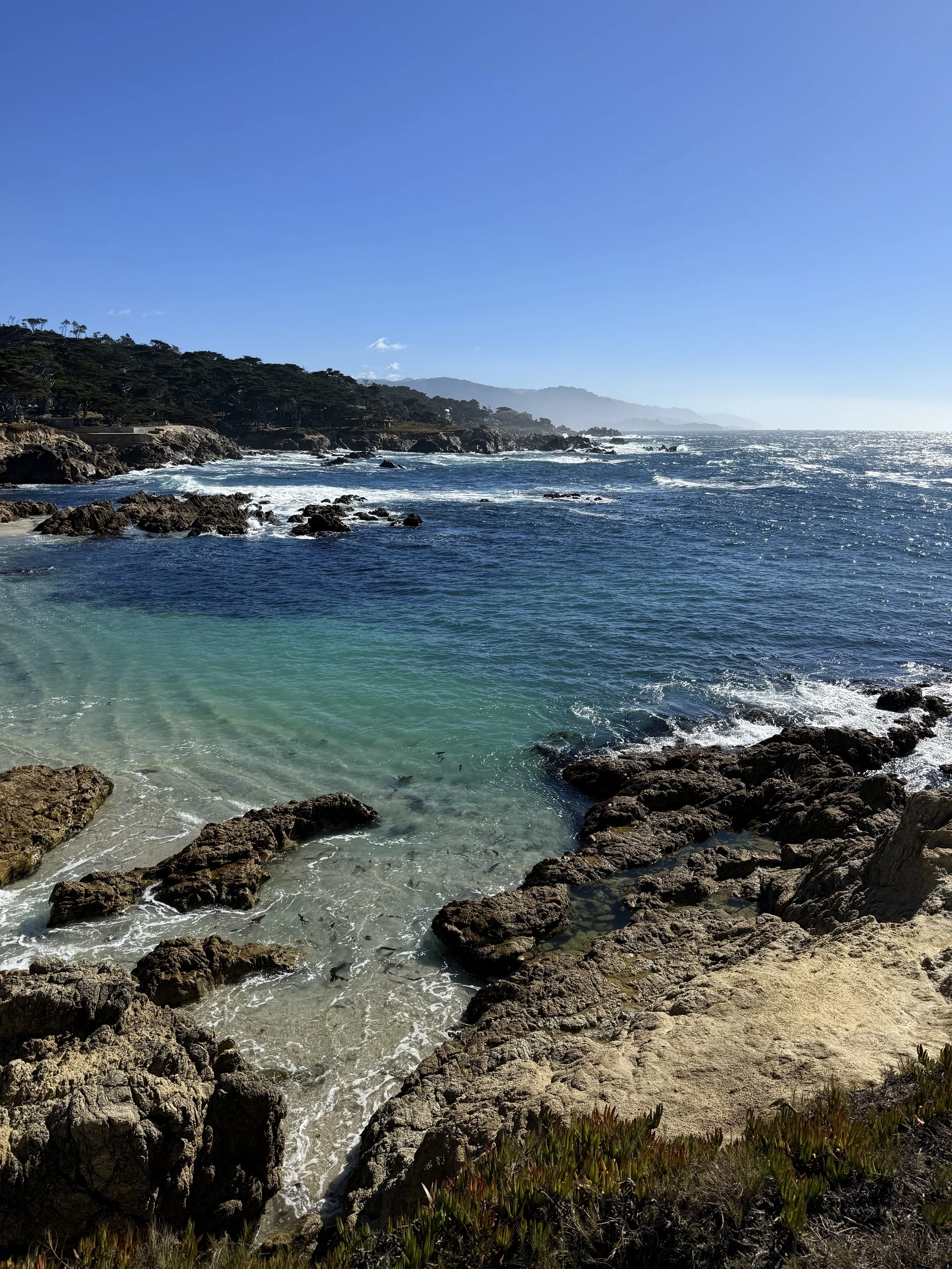
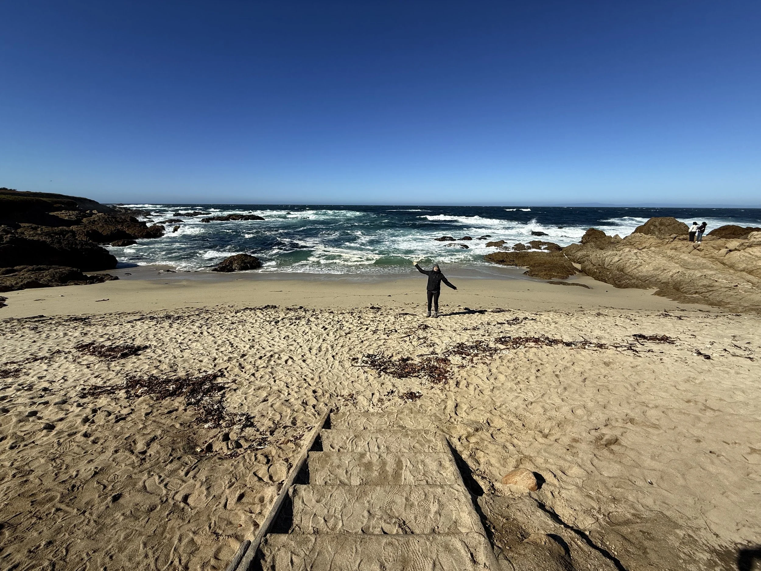
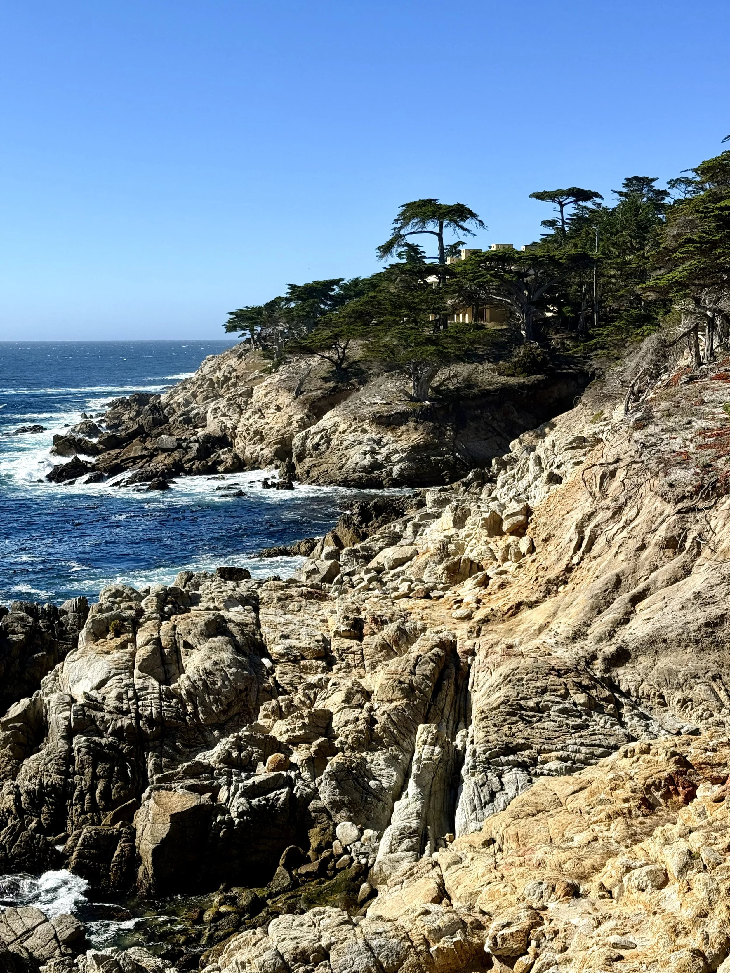
Distance from San Francisco: 2 hours 10 minutes (125 miles)
What to expect: Wild and windy vibes dominate this peninsula coastline drive from Pacific Grove down to Pebble Beach. There are plenty of viewpoints to stop at along the way, so take your time and take in the sights. Witness the powerful waves crashing against the shoreline, rocks overflowing with wildlife, and one of the most photographed landmarks in North America.
Stop recs: Pacific Grove Rocky View, Bird Rock, Seal Rock, Crocker Grove, Lone Cypress, and Ghost Trees
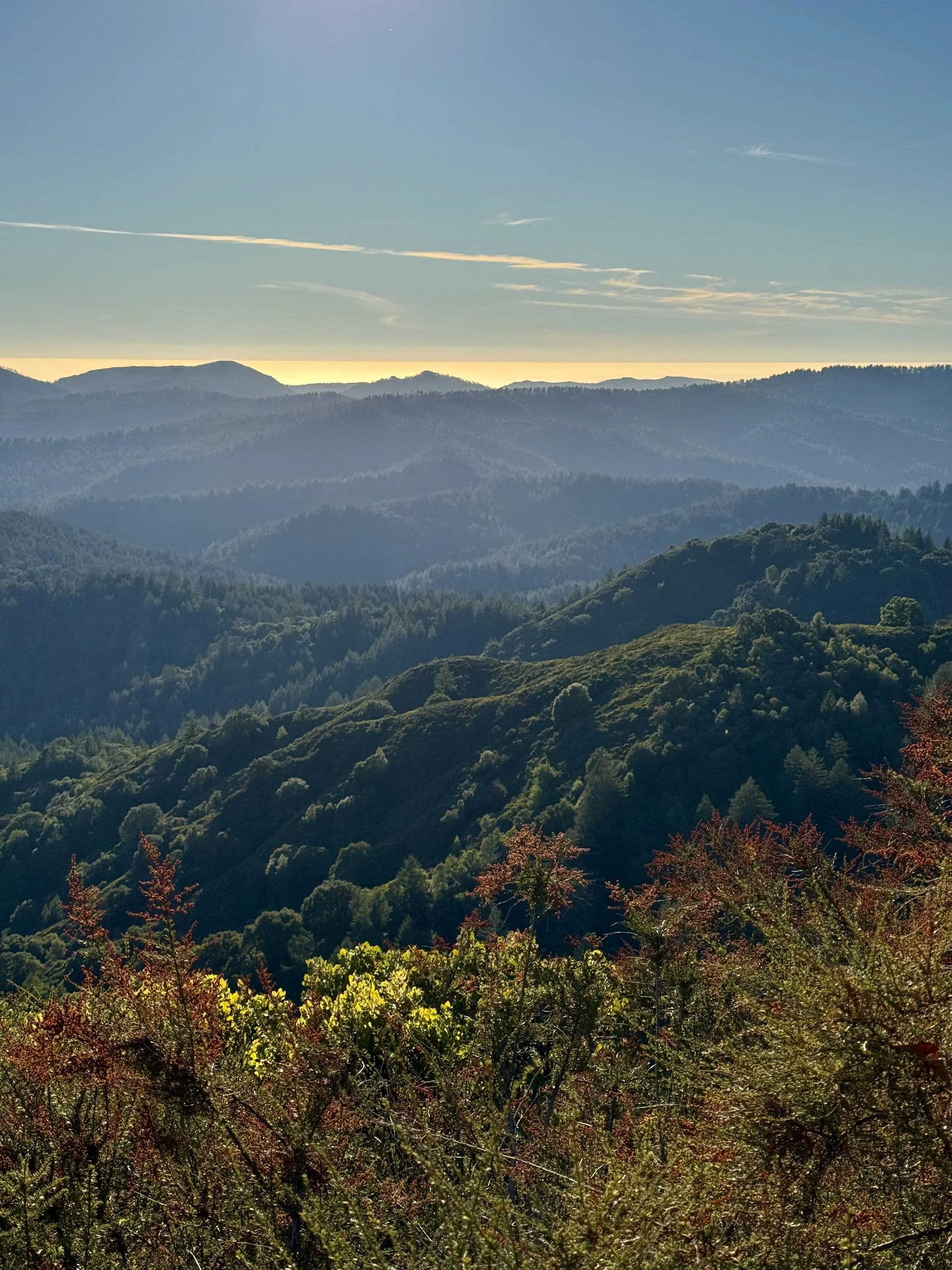
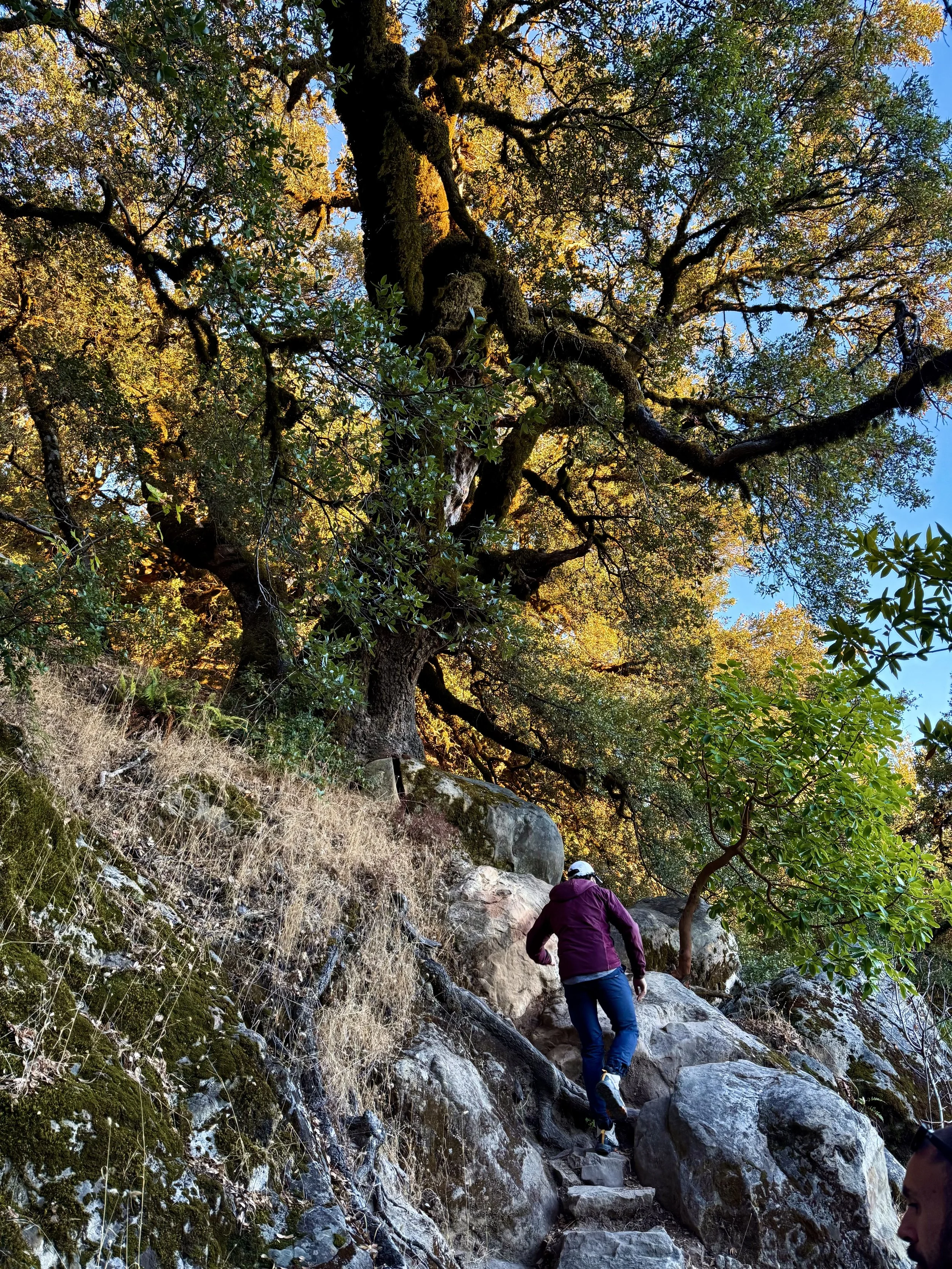
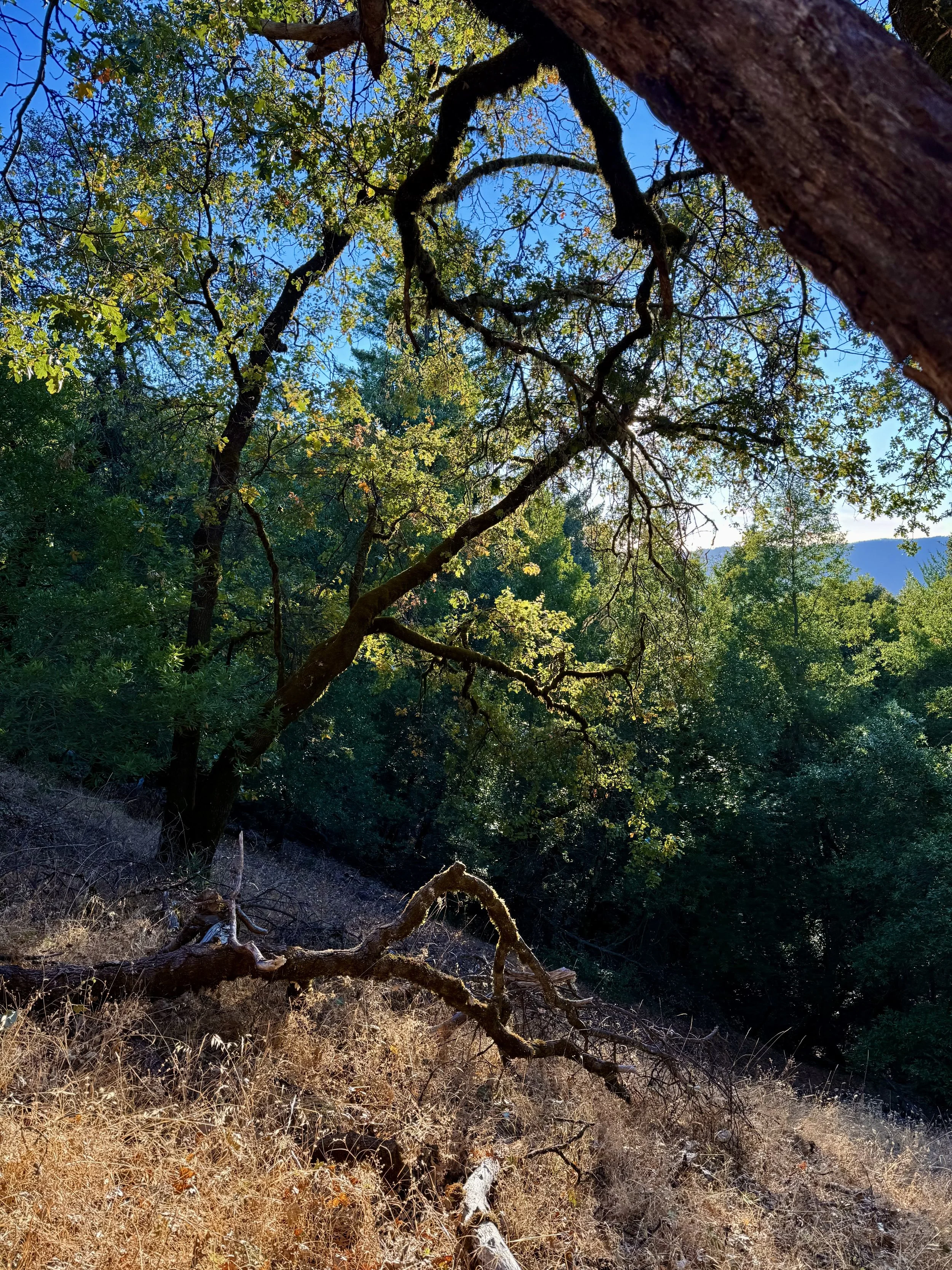
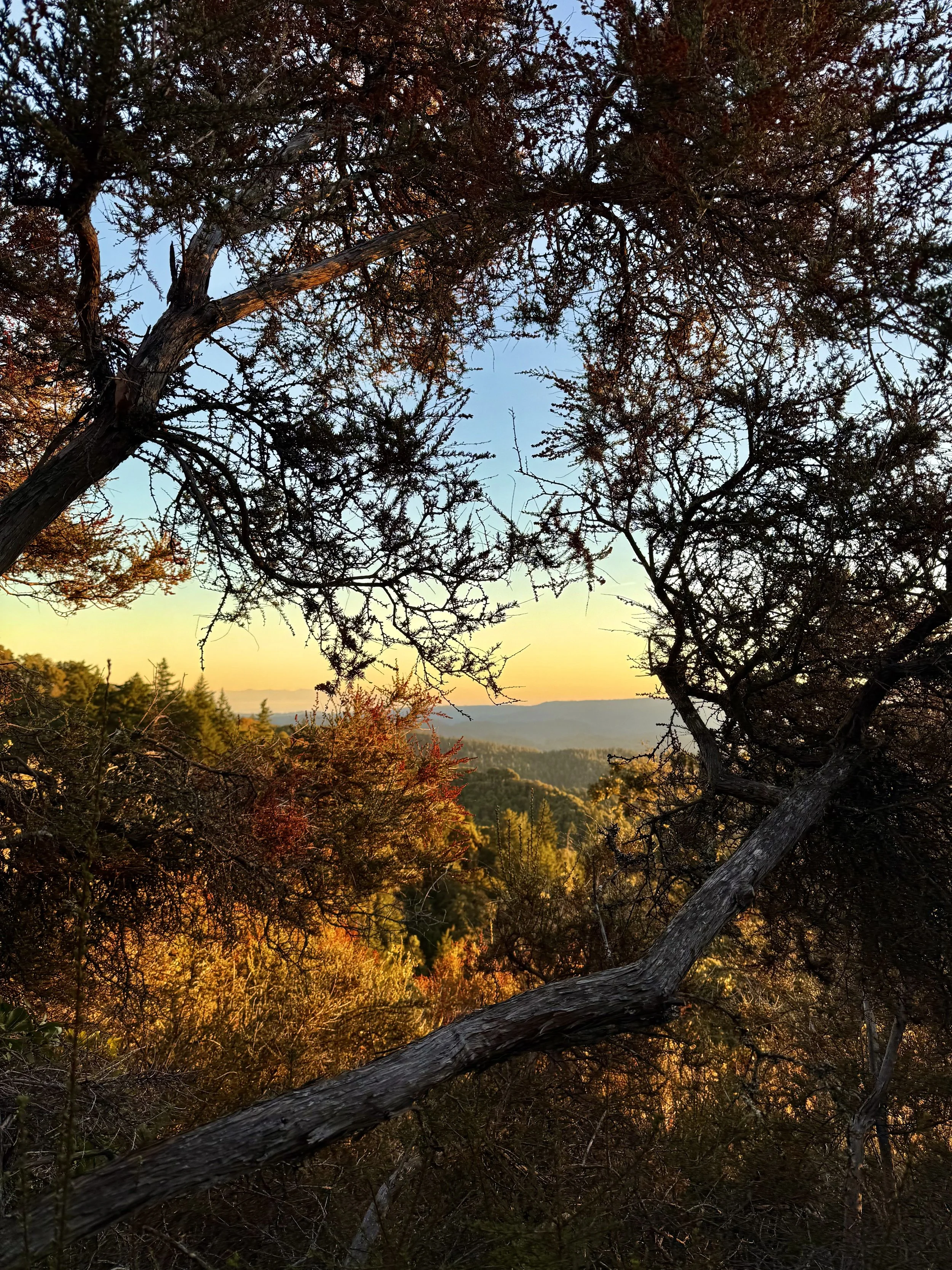
Castle Rock State Park
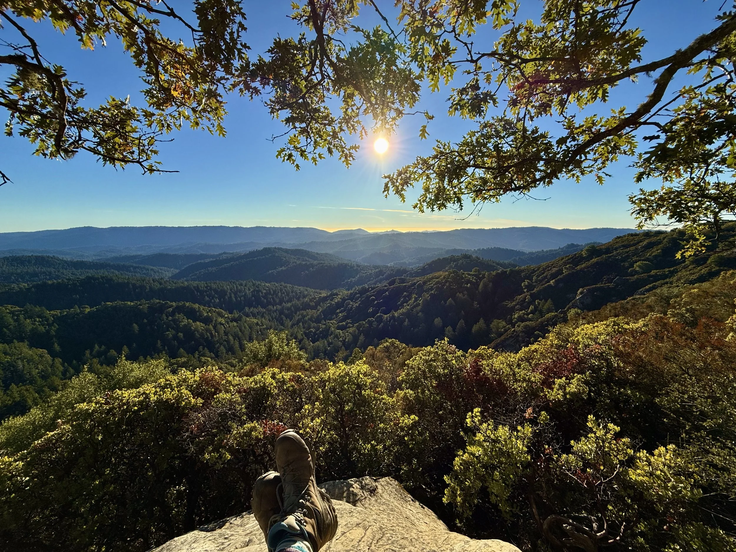
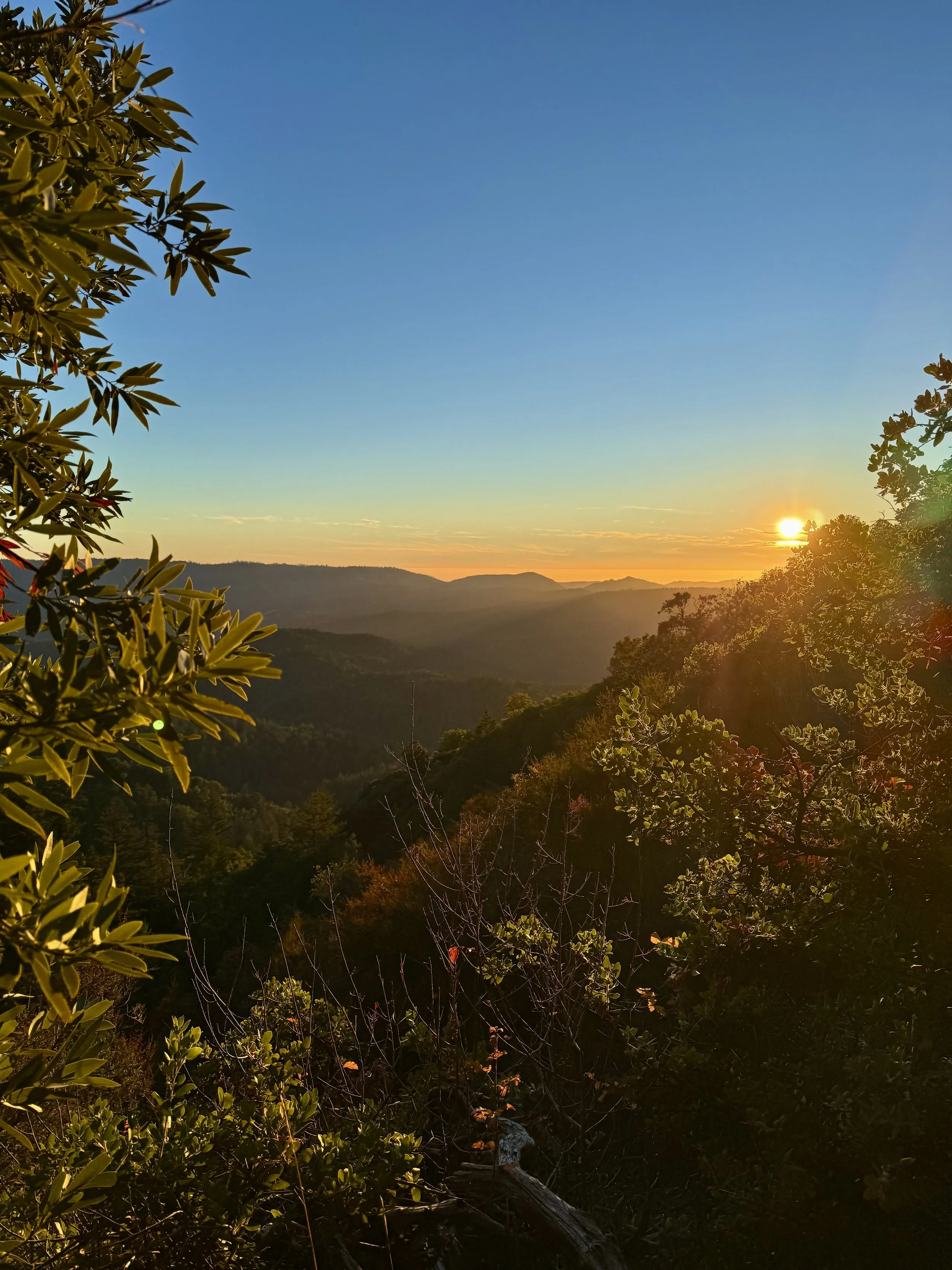
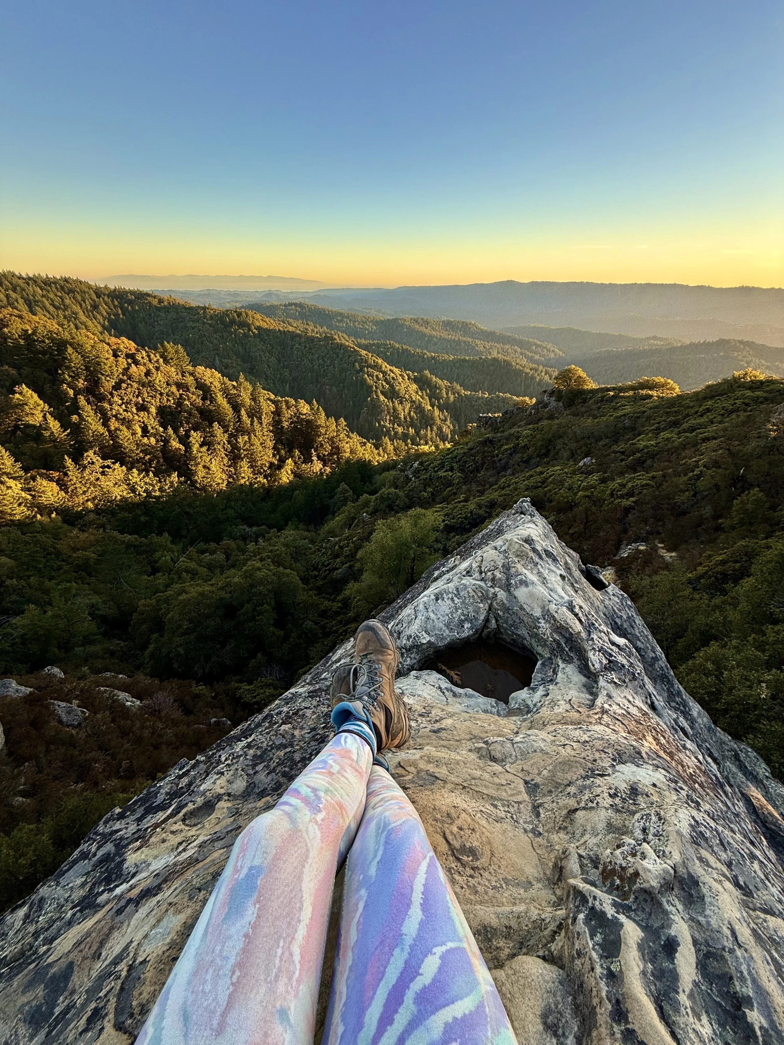

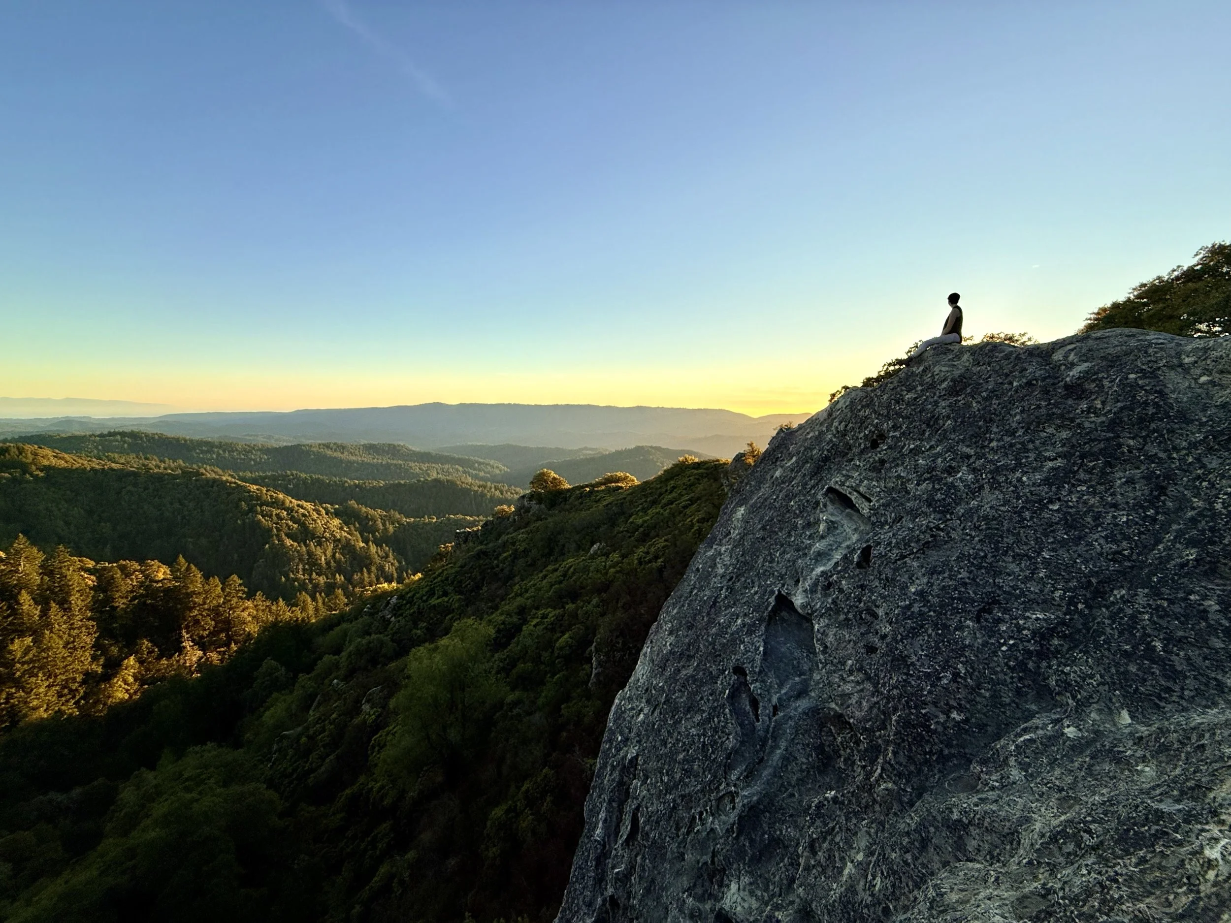
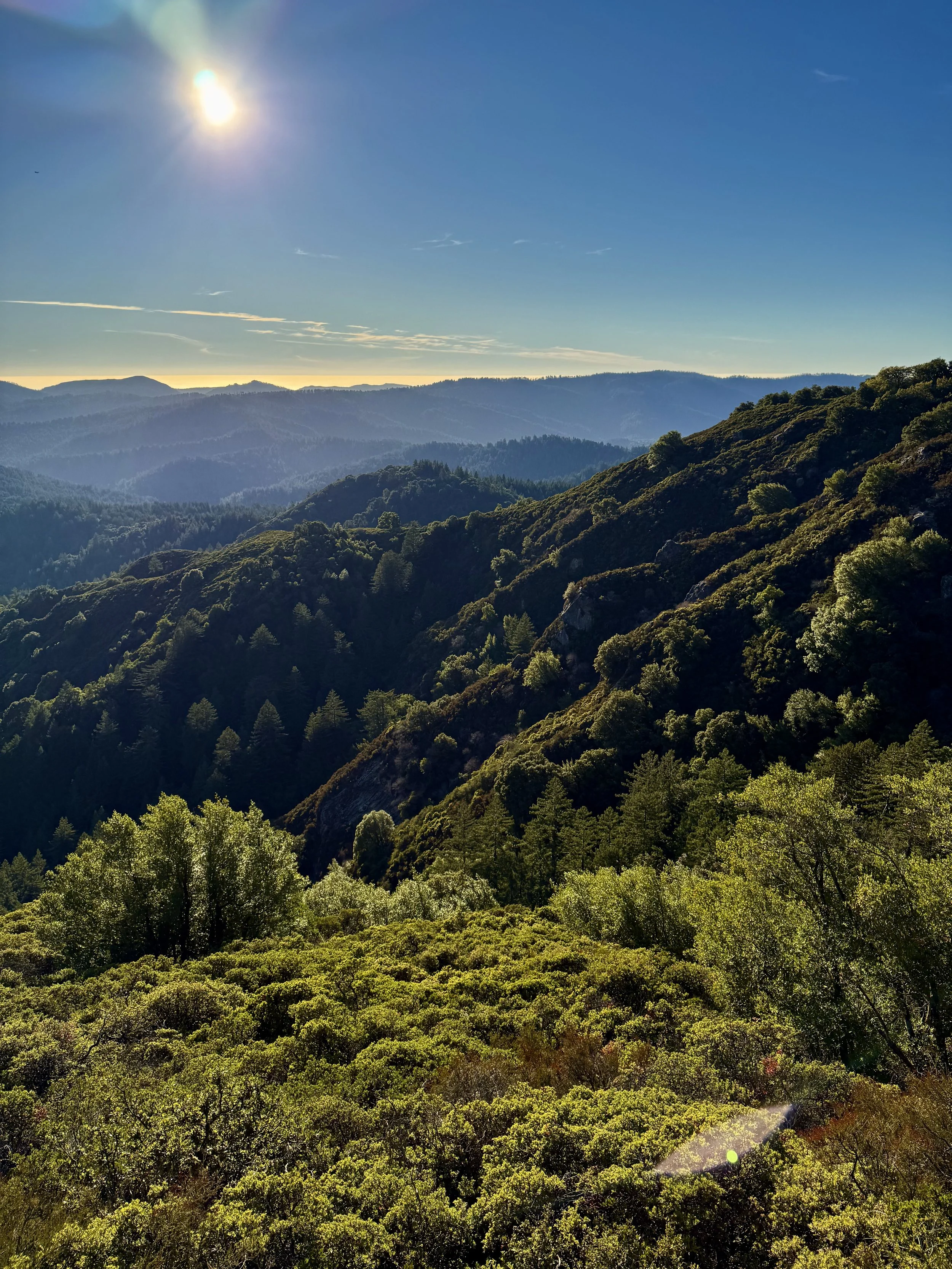
Distance from San Francisco: 1 hour 10 minutes (55 miles)
What to expect: Rock climbers delight in the sandstone formations in this state park (and even if you’re not geared up for climbing, you can get your scramble on). The park has a nice mix of landscapes, with lush forests and views of the Pacific.
Trail rec: Goat Rock Overlook, Emily Smith Observation Point and Saratoga Gap (3.9 miles, 2hr)
Tip: Depending on how you get there, be prepared for hairpin turns on narrow roads getting up to Skyline Blvd.